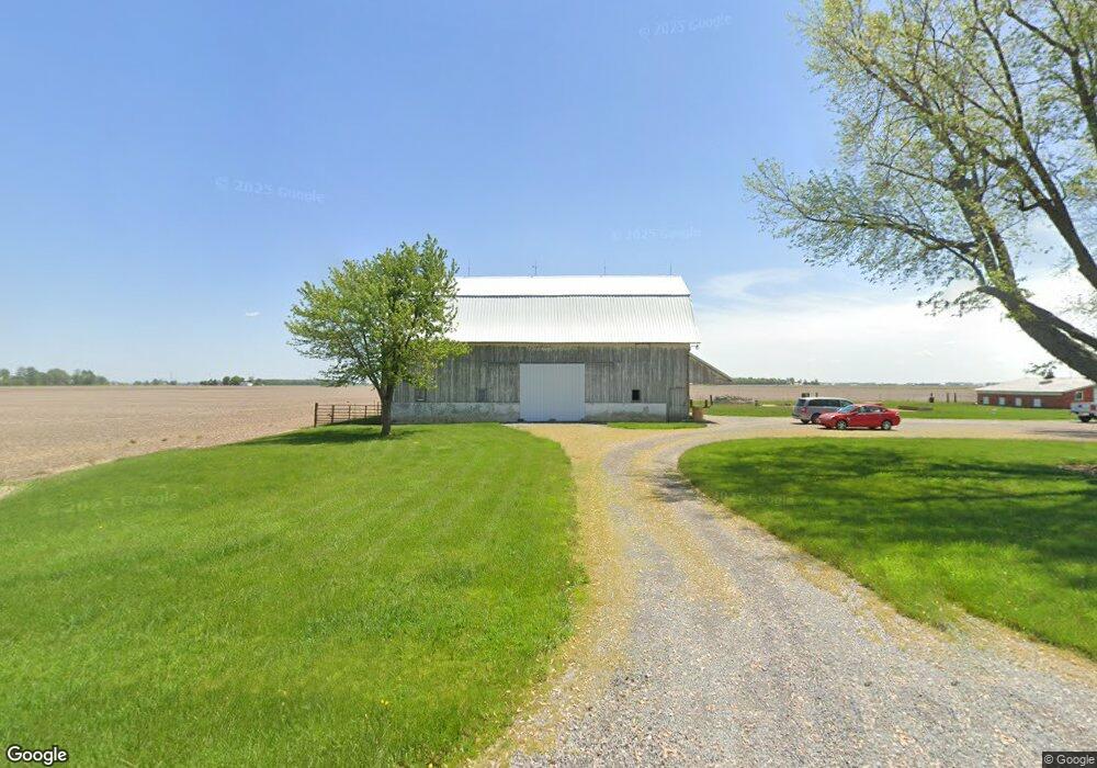
6383 Middle Point Wetzel Rd Middle Point, OH 45863
Estimated Value: $189,009 - $315,000
5
Beds
2
Baths
2,808
Sq Ft
$85/Sq Ft
Est. Value
About This Home
This home is located at 6383 Middle Point Wetzel Rd, Middle Point, OH 45863 and is currently estimated at $239,002, approximately $85 per square foot. 6383 Middle Point Wetzel Rd is a home located in Van Wert County with nearby schools including Lincolnview Elementary School and Lincolnview Junior/Senior High School.
Ownership History
Date
Name
Owned For
Owner Type
Purchase Details
Closed on
Jun 10, 2013
Sold by
Unterbrink Craig D and Hessling Tracy L
Bought by
Kill Matthew D and Kill Jacqueline J
Current Estimated Value
Home Financials for this Owner
Home Financials are based on the most recent Mortgage that was taken out on this home.
Original Mortgage
$119,795
Outstanding Balance
$84,796
Interest Rate
3.38%
Mortgage Type
New Conventional
Estimated Equity
$154,206
Create a Home Valuation Report for This Property
The Home Valuation Report is an in-depth analysis detailing your home's value as well as a comparison with similar homes in the area
Home Values in the Area
Average Home Value in this Area
Purchase History
| Date | Buyer | Sale Price | Title Company |
|---|---|---|---|
| Kill Matthew D | $123,500 | Lawyers Title Agency Inc |
Source: Public Records
Mortgage History
| Date | Status | Borrower | Loan Amount |
|---|---|---|---|
| Open | Kill Matthew D | $119,795 |
Source: Public Records
Tax History Compared to Growth
Tax History
| Year | Tax Paid | Tax Assessment Tax Assessment Total Assessment is a certain percentage of the fair market value that is determined by local assessors to be the total taxable value of land and additions on the property. | Land | Improvement |
|---|---|---|---|---|
| 2024 | $1,779 | $46,740 | $14,980 | $31,760 |
| 2023 | $1,779 | $46,740 | $14,980 | $31,760 |
| 2022 | $1,528 | $35,610 | $11,900 | $23,710 |
| 2021 | $1,509 | $35,610 | $11,900 | $23,710 |
| 2020 | $1,504 | $34,910 | $11,200 | $23,710 |
| 2019 | $1,265 | $32,280 | $10,500 | $21,780 |
| 2018 | $1,250 | $32,280 | $10,500 | $21,780 |
| 2017 | $1,303 | $32,280 | $10,500 | $21,780 |
| 2016 | $1,090 | $32,080 | $10,500 | $21,580 |
| 2015 | $1,074 | $32,080 | $10,500 | $21,580 |
| 2014 | $1,072 | $30,870 | $8,870 | $22,000 |
| 2013 | $1,217 | $29,220 | $6,690 | $22,530 |
Source: Public Records
Map
Nearby Homes
- TBD Dog Creek Rd
- 112 W Railroad St
- 104 W Railroad St
- 8951 Brickner Rd
- 104 W South St
- 7510 State Route 66
- 320 Auglaize St
- 0 Road 24-Q
- 0 Heritage Cir Unit 6112034
- 0 Heritage Cir Unit 303239
- 11630 Clearview Dr
- 604 W 6th St
- 616 W 5th St
- 503 W 6th St
- 409 N Bredeick St
- 13945 Lincoln Hwy
- 810 N Franklin St
- 25853 Road M
- 610 N Washington St
- 704 N Franklin St
- 6542 Middle Point Wetzel Rd
- 6590 Middle Point Wetzel Rd
- 6647 Middle Point Wetzel Rd
- 6010 Middle Point Wetzel Rd
- 19922 Convoy Rd
- 19846 Convoy Rd
- 6754 Middle Point Wetzel Rd
- 6231 Dog Creek Rd
- 20443 Convoy Rd
- 19625 Convoy Rd
- 19586 Convoy Rd
- 20578 Convoy Rd
- 20028 Church Rd
- 6671 Dog Creek Rd
- 19599 Church Rd
- 7046 Middle Point Wetzel Rd
- 6606 Dog Creek Rd
- 20347 Church Rd
- 20198 Church Rd