63838 Roadrunner Rd Joshua Tree, CA 92252
Estimated Value: $386,000 - $731,000
1
Bed
1
Bath
1,698
Sq Ft
$330/Sq Ft
Est. Value
About This Home
This home is located at 63838 Roadrunner Rd, Joshua Tree, CA 92252 and is currently estimated at $560,137, approximately $329 per square foot. 63838 Roadrunner Rd is a home located in San Bernardino County with nearby schools including Friendly Hills Elementary School, La Contenta Middle School, and Yucca Valley High School.
Ownership History
Date
Name
Owned For
Owner Type
Purchase Details
Closed on
Jan 15, 2026
Sold by
Zylstra Steven R
Bought by
Steven Ray Zylstra Living Trust and Zylstra
Current Estimated Value
Purchase Details
Closed on
Jun 8, 2006
Sold by
Coppola Robin
Bought by
Zylstra Steven R
Purchase Details
Closed on
Jul 6, 2004
Sold by
Zylstra Steven R
Bought by
Zylstra Steven R and Coppola Robin
Purchase Details
Closed on
Dec 10, 2001
Sold by
Coombs Reba J
Bought by
Zylstra Steven R
Home Financials for this Owner
Home Financials are based on the most recent Mortgage that was taken out on this home.
Original Mortgage
$105,000
Interest Rate
6.66%
Mortgage Type
Purchase Money Mortgage
Purchase Details
Closed on
Jan 30, 1997
Sold by
Coombs Nathan S and Coombs Reba R
Bought by
The Nathan S & Reba J Coombs Living Tr
Create a Home Valuation Report for This Property
The Home Valuation Report is an in-depth analysis detailing your home's value as well as a comparison with similar homes in the area
Home Values in the Area
Average Home Value in this Area
Purchase History
| Date | Buyer | Sale Price | Title Company |
|---|---|---|---|
| Steven Ray Zylstra Living Trust | -- | None Listed On Document | |
| Zylstra Steven R | -- | None Available | |
| Zylstra Steven R | -- | -- | |
| Zylstra Steven R | $145,000 | First American Title | |
| The Nathan S & Reba J Coombs Living Tr | -- | -- |
Source: Public Records
Mortgage History
| Date | Status | Borrower | Loan Amount |
|---|---|---|---|
| Previous Owner | Zylstra Steven R | $105,000 |
Source: Public Records
Tax History
| Year | Tax Paid | Tax Assessment Tax Assessment Total Assessment is a certain percentage of the fair market value that is determined by local assessors to be the total taxable value of land and additions on the property. | Land | Improvement |
|---|---|---|---|---|
| 2025 | $969 | $214,208 | $21,421 | $192,787 |
| 2024 | $963 | $210,008 | $21,001 | $189,007 |
| 2023 | $1,003 | $205,890 | $20,589 | $185,301 |
| 2022 | $1,069 | $201,853 | $20,185 | $181,668 |
| 2021 | $1,051 | $197,895 | $19,789 | $178,106 |
| 2020 | $1,070 | $195,866 | $19,586 | $176,280 |
| 2019 | $1,243 | $192,026 | $19,202 | $172,824 |
| 2018 | $1,115 | $188,260 | $18,825 | $169,435 |
| 2017 | $1,116 | $184,569 | $18,456 | $166,113 |
| 2016 | $1,108 | $180,950 | $18,094 | $162,856 |
| 2015 | $1,062 | $178,232 | $17,822 | $160,410 |
| 2014 | $1,061 | $174,741 | $17,473 | $157,268 |
Source: Public Records
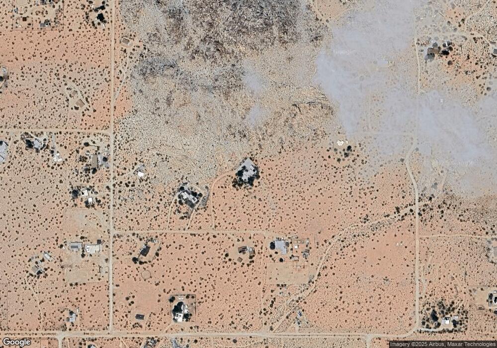
Map
Nearby Homes
- 8388 Old Vine Rd
- 8729 Rock Haven Rd
- 63576 Single Tree Rd
- 8776 Uphill Rd
- 63131 Rocking Chair Rd
- 8520 Purple Sage Rd
- 62570 Turtle Rd
- 0 Desert Air St Unit OC26017264
- 8825 Lilley Rd
- 8256 Quail Springs Rd
- 7122 Sunkist Rd
- 31 Sullivan Rd
- 9 Stoney Crest Dr
- 62200 Skyline Dr
- 5737 Mojave Ranch Rd
- 64760 Cottonwood Dr
- 63317 Cottonwood Dr
- 0 Arizona Ave Unit 239939
- 0 Arizona Ave Unit 238696
- 0 Arizona Ave Unit Lot 15 24-454369
- 63776 Roadrunner Ln
- 63821 Roadrunner Rd
- 63899 Roadrunner Rd
- 8633 Old Vine Rd
- 8633 Old Vine Rd
- 63926 Rocking Chair Rd
- 63852 Singletree Rd
- 8526 Old Vine Rd
- 8562 Old Vine Rd
- 63947 Cholla Trail
- 63734 Single Tree Rd
- 343 Rock Haven Rd
- 63722 Rocking Chair Rd
- 8626 Old Vine Rd
- 8636 Rock Haven Rd
- 63777 Single Tree Rd
- 8368 Cholla
- 8547 Rock Haven Rd
- 63625 Rocking Chair Rd
- 0 Rock Haven Unit DC21127387
Your Personal Tour Guide
Ask me questions while you tour the home.