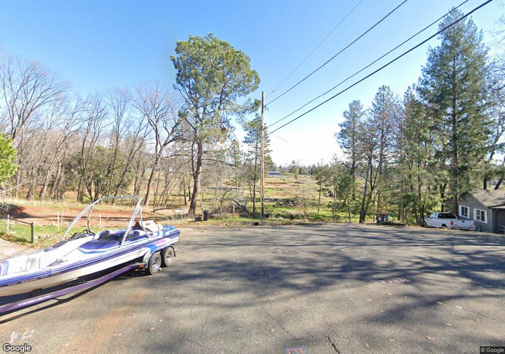
6386 Simonson Ct Unit 4 Magalia, CA 95954
Magalia NeighborhoodEstimated Value: $18,000 - $370,527
3
Beds
2
Baths
1,490
Sq Ft
$130/Sq Ft
Est. Value
About This Home
This home is located at 6386 Simonson Ct Unit 4, Magalia, CA 95954 and is currently estimated at $194,264, approximately $130 per square foot. 6386 Simonson Ct Unit 4 is a home located in Butte County with nearby schools including Pine Ridge, Paradise Senior High School, and Children's Community Charter School.
Ownership History
Date
Name
Owned For
Owner Type
Purchase Details
Closed on
Nov 4, 2019
Sold by
Joulian Debora
Bought by
Joulian Debora R
Current Estimated Value
Purchase Details
Closed on
Jan 26, 2005
Sold by
Sanders Frank K and Sanders Helen M
Bought by
Joulian Debora
Home Financials for this Owner
Home Financials are based on the most recent Mortgage that was taken out on this home.
Original Mortgage
$162,000
Outstanding Balance
$81,908
Interest Rate
5.67%
Mortgage Type
Purchase Money Mortgage
Estimated Equity
$112,356
Purchase Details
Closed on
Sep 14, 2000
Sold by
Hoerner Ronald Clifford
Bought by
Sanders Frank K and Sanders Helen M
Home Financials for this Owner
Home Financials are based on the most recent Mortgage that was taken out on this home.
Original Mortgage
$55,000
Interest Rate
8.11%
Mortgage Type
Purchase Money Mortgage
Create a Home Valuation Report for This Property
The Home Valuation Report is an in-depth analysis detailing your home's value as well as a comparison with similar homes in the area
Home Values in the Area
Average Home Value in this Area
Purchase History
| Date | Buyer | Sale Price | Title Company |
|---|---|---|---|
| Joulian Debora R | -- | None Available | |
| Joulian Debora | $233,000 | Mid Valley Title & Escrow Co | |
| Sanders Frank K | $125,000 | Bidwell Title & Escrow Compa | |
| Hoerner Ronald Clifford | -- | Bidwell Title & Escrow Compa |
Source: Public Records
Mortgage History
| Date | Status | Borrower | Loan Amount |
|---|---|---|---|
| Open | Joulian Debora | $162,000 | |
| Previous Owner | Sanders Frank K | $55,000 |
Source: Public Records
Tax History Compared to Growth
Tax History
| Year | Tax Paid | Tax Assessment Tax Assessment Total Assessment is a certain percentage of the fair market value that is determined by local assessors to be the total taxable value of land and additions on the property. | Land | Improvement |
|---|---|---|---|---|
| 2025 | $168 | $12,000 | $12,000 | -- |
| 2024 | $168 | $15,000 | $15,000 | $0 |
| 2023 | $225 | $20,000 | $20,000 | $0 |
| 2022 | $193 | $17,000 | $17,000 | $0 |
| 2021 | $170 | $15,000 | $15,000 | $0 |
| 2020 | $164 | $15,000 | $15,000 | $0 |
| 2019 | $143 | $20,000 | $20,000 | $0 |
| 2018 | $2,182 | $215,000 | $70,000 | $145,000 |
| 2017 | $2,035 | $200,000 | $50,000 | $150,000 |
| 2016 | $1,781 | $180,000 | $45,000 | $135,000 |
| 2015 | $1,730 | $175,000 | $45,000 | $130,000 |
| 2014 | $1,577 | $160,000 | $40,000 | $120,000 |
Source: Public Records
Map
Nearby Homes
- 6377 Simonson Ct
- 6367 Simonson Ct
- 6366 Scripps Ct
- 6451 Ranger Ct
- 6379 Zuckerman Ct
- 6382 Molinari Ct
- 6383 Molinari Ct
- 13505 Adrian Dr
- 6394 Glendale Ct
- 13630 S Park Dr
- 6468 Altus Ct
- 6356 Zuckerman Ct
- 6485 Boone Ct
- 13566 Wichita Dr
- 6487 Ridgeside Ct
- 6301 6301 Janine Ct
- 13581 Wichita Dr
- 13579 Wichita Dr
- 13562 S Park Dr
- 6292 Dimitri Ct
- 6382 Simonson Ct
- 13567 Andover Dr
- 13563 Andover Dr Unit 4
- 6434 Ranger Ct
- 6371 Simonson Ct
- 6388 Scripps Ct
- 6370 Simonson Ct
- 13577 Andover Dr
- 6382 Scripps Ct
- 13553 Andover Dr
- 6440 Ranger Ct
- 6376 Scripps Ct
- 6362 Simonson Ct
- 13581 Andover Dr
- 6370 Scripps Ct Unit 178
- 6370 Scripps Ct
- 13549 Andover Dr
- 6444 Ranger Ct
- 13558 Andover Dr
- 0 Simonson Ct
