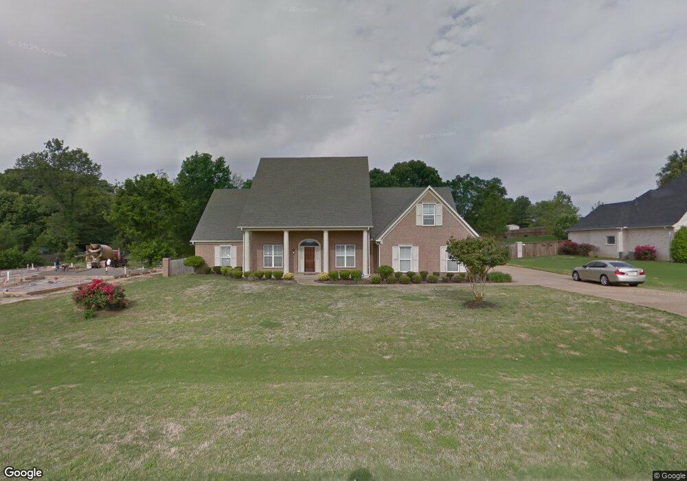
6387 Carson Dr Olive Branch, MS 38654
Pleasant Hill NeighborhoodEstimated Value: $374,000 - $449,000
4
Beds
3
Baths
2,612
Sq Ft
$155/Sq Ft
Est. Value
About This Home
This home is located at 6387 Carson Dr, Olive Branch, MS 38654 and is currently estimated at $405,351, approximately $155 per square foot. 6387 Carson Dr is a home located in DeSoto County with nearby schools including Pleasant Hill Elementary School, DeSoto Central Middle School, and DeSoto Central High School.
Ownership History
Date
Name
Owned For
Owner Type
Purchase Details
Closed on
Dec 17, 2020
Sold by
Stewart Carol Lindsey
Bought by
Blackmond Joyce
Current Estimated Value
Home Financials for this Owner
Home Financials are based on the most recent Mortgage that was taken out on this home.
Original Mortgage
$243,508
Outstanding Balance
$214,788
Interest Rate
2.7%
Mortgage Type
FHA
Estimated Equity
$190,563
Purchase Details
Closed on
Jun 22, 2018
Sold by
Quinn Daniel L
Bought by
Stewart Carol L
Purchase Details
Closed on
May 16, 2013
Sold by
Lindsey Carol
Bought by
Quinn Daniel L
Purchase Details
Closed on
Jun 2, 2009
Sold by
Lindsey Clinton and Lindsey Carol
Bought by
Lindsey Carol
Create a Home Valuation Report for This Property
The Home Valuation Report is an in-depth analysis detailing your home's value as well as a comparison with similar homes in the area
Home Values in the Area
Average Home Value in this Area
Purchase History
We collect this data history from publicly available records. To have your information removed, we recommend requesting removal directly through your county’s website.
| Date | Buyer | Sale Price | Title Company |
|---|---|---|---|
| Blackmond Joyce | -- | Sure Title Company Llc | |
| Stewart Carol L | -- | None Available | |
| Quinn Daniel L | -- | None Available | |
| Lindsey Carol | -- | None Available |
Source: Public Records
Mortgage History
We collect this data history from publicly available records. To have your information removed, we recommend requesting removal directly through your county’s website.
| Date | Status | Borrower | Loan Amount |
|---|---|---|---|
| Open | Blackmond Joyce | $243,508 |
Source: Public Records
Tax History
| Year | Tax Paid | Tax Assessment Tax Assessment Total Assessment is a certain percentage of the fair market value that is determined by local assessors to be the total taxable value of land and additions on the property. | Land | Improvement |
|---|---|---|---|---|
| 2025 | $2,994 | $28,448 | $4,500 | $23,948 |
| 2024 | $2,573 | $21,048 | $4,500 | $16,548 |
| 2023 | $2,573 | $21,048 | $0 | $0 |
| 2022 | $2,573 | $21,048 | $4,500 | $16,548 |
| 2021 | $2,573 | $21,048 | $4,500 | $16,548 |
| 2020 | $4,037 | $29,577 | $6,750 | $22,827 |
| 2019 | $4,037 | $29,577 | $6,750 | $22,827 |
| 2017 | $3,976 | $51,210 | $28,980 | $22,230 |
| 2016 | $3,976 | $30,210 | $6,750 | $23,460 |
| 2015 | $4,145 | $53,670 | $30,210 | $23,460 |
| 2014 | $4,145 | $30,210 | $0 | $0 |
| 2013 | $4,153 | $30,210 | $0 | $0 |
Source: Public Records
Map
Nearby Homes
- 6459 Carson Dr
- 4860 Wedgewood Dr
- 6835 Lindsey Ann Cove
- 4981 Waterstone Cove
- 4891 Fleur de Lis N
- 6490 Malone Rd
- 5045 Saint Andrews Cove
- 4130 Aberleigh Ln
- 5915 Roman Hill Dr
- 4055 Kayley Ln
- 6826 Monica Ln
- 4721 Stone Cross Dr
- 4773 Stone Cross Dr
- 4628 Stone Cross Dr
- 6555 Masters Dr
- 6675 Masters Dr
- 4528 Stone Cross Dr
- 4472 Stone Cross Dr
- 4845 Stone Cross Dr
- 4456 Stone Cross Dr
- 6405 Carson Dr
- 6405 Carson Dr Unit LOT 126
- 6369 Carson Dr
- 6351 Carson Dr
- 6423 Carson Dr
- 6396 Carson Dr
- 6414 Carson Dr
- 6408 Nellwood Dr
- 6333 Carson Dr
- 6432 Carson Dr
- 6441 Carson Dr
- 4611 Bobo Place
- 4620 Bobo Place
- 6468 Nellwood Dr
- 6450 Carson Dr
- 4610 Nance Place
- 6315 Carson Dr
- 6490 Nellwood Dr
- 4629 Bobo Place
- 4638 Bobo Place
Your Personal Tour Guide
Ask me questions while you tour the home.