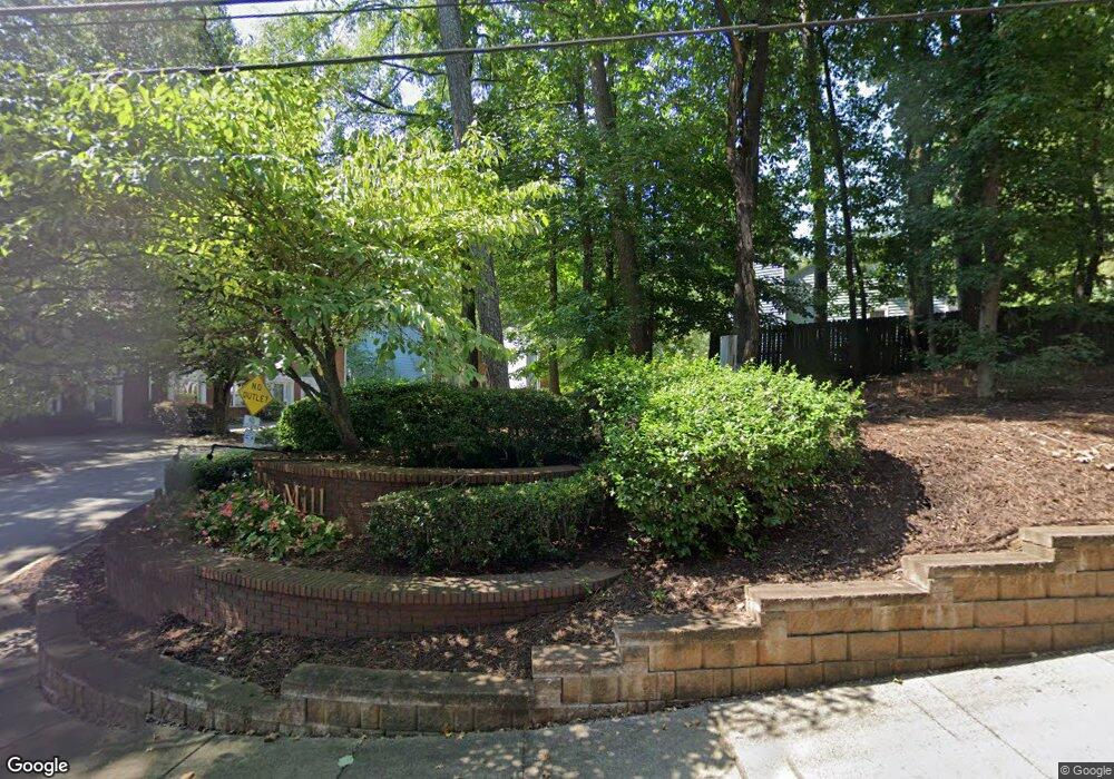
639 Anderson Walk Marietta, GA 30062
Estimated Value: $276,988 - $316,000
3
Beds
3
Baths
1,400
Sq Ft
$214/Sq Ft
Est. Value
About This Home
This home is located at 639 Anderson Walk, Marietta, GA 30062 and is currently estimated at $298,997, approximately $213 per square foot. 639 Anderson Walk is a home located in Cobb County with nearby schools including Lockheed Elementary School, Marietta Sixth Grade Academy, and Marietta Middle School.
Ownership History
Date
Name
Owned For
Owner Type
Purchase Details
Closed on
Apr 21, 1998
Sold by
Simonette Nicholas I and Simonette Marcel D
Bought by
Debary Ronald O
Current Estimated Value
Home Financials for this Owner
Home Financials are based on the most recent Mortgage that was taken out on this home.
Original Mortgage
$80,000
Outstanding Balance
$15,093
Interest Rate
7.03%
Mortgage Type
New Conventional
Estimated Equity
$283,904
Purchase Details
Closed on
Apr 24, 1997
Sold by
Hud
Bought by
Simonette Nicholas and Simonette Marcel
Home Financials for this Owner
Home Financials are based on the most recent Mortgage that was taken out on this home.
Original Mortgage
$87,358
Interest Rate
7.98%
Mortgage Type
FHA
Create a Home Valuation Report for This Property
The Home Valuation Report is an in-depth analysis detailing your home's value as well as a comparison with similar homes in the area
Home Values in the Area
Average Home Value in this Area
Purchase History
| Date | Buyer | Sale Price | Title Company |
|---|---|---|---|
| Debary Ronald O | $100,000 | -- | |
| Simonette Nicholas | -- | -- |
Source: Public Records
Mortgage History
| Date | Status | Borrower | Loan Amount |
|---|---|---|---|
| Open | Debary Ronald O | $80,000 | |
| Previous Owner | Simonette Nicholas | $87,358 |
Source: Public Records
Tax History Compared to Growth
Tax History
| Year | Tax Paid | Tax Assessment Tax Assessment Total Assessment is a certain percentage of the fair market value that is determined by local assessors to be the total taxable value of land and additions on the property. | Land | Improvement |
|---|---|---|---|---|
| 2024 | $948 | $112,104 | $34,000 | $78,104 |
| 2023 | $948 | $112,104 | $34,000 | $78,104 |
| 2022 | $718 | $84,864 | $12,000 | $72,864 |
| 2021 | $663 | $77,208 | $12,000 | $65,208 |
| 2020 | $631 | $73,468 | $12,000 | $61,468 |
| 2019 | $631 | $73,468 | $12,000 | $61,468 |
| 2018 | $511 | $59,496 | $10,000 | $49,496 |
| 2017 | $410 | $59,496 | $10,000 | $49,496 |
| 2016 | $344 | $49,908 | $10,000 | $39,908 |
| 2015 | $374 | $49,908 | $10,000 | $39,908 |
| 2014 | $209 | $26,920 | $0 | $0 |
Source: Public Records
Map
Nearby Homes
- 679 Anderson Walk
- 1234 Barnes Mill Rd
- 755 Bonnie Dell Dr
- 706 Coventry Township Ln
- 741 Soaring Dr
- 881 Soaring Dr
- 785 Soaring Cir
- 1186 Beech St
- 874 Soaring Cir Unit 2
- 1145 Mountain View Dr
- 1657 Cedar Bluff Way
- 794 Barnes Mill Trace NE
- 149 Bankston Rd
- 1548 Cedar Bluff Trail
- 1056 Azalea Cir
- 1080 Soaring Way NE
- 0 Shadowbrook Dr Unit 10506866
- 0 Shadowbrook Dr Unit 7564152
- 637 Anderson Walk
- 641 Anderson Walk
- 635 Anderson Walk
- 635 Anderson Walk Unit 635
- 645 Anderson Walk
- 645 Anderson Walk Unit 645
- 633 Anderson Walk
- 633 Anderson Walk Unit 633
- 649 Anderson Walk
- 636 Anderson Walk Unit 636
- 636 Anderson Walk
- 631 Anderson Walk
- 655 Anderson Walk Unit 125
- 655 Anderson Walk
- 640 Anderson Walk
- 640 Anderson Walk
- 657 Anderson Walk
- 627 Anderson Walk
- 661 Anderson Walk
- 632 Anderson Walk
