Estimated Value: $649,000 - $745,000
5
Beds
5
Baths
3,049
Sq Ft
$229/Sq Ft
Est. Value
About This Home
This home is located at 639 Country Side Ln, Pella, IA 50219 and is currently estimated at $698,840, approximately $229 per square foot. 639 Country Side Ln is a home with nearby schools including Pella High School, Pella Christian Grade School, and Peoria Christian School.
Ownership History
Date
Name
Owned For
Owner Type
Purchase Details
Closed on
Aug 8, 2022
Sold by
Reid Evans
Bought by
Mpg Investments Llc
Current Estimated Value
Purchase Details
Closed on
Aug 29, 2016
Sold by
Weaver Wade W and Weaver Tiffany J
Bought by
Evans Reid C and Evans Elizabeth A
Purchase Details
Closed on
Mar 19, 2014
Sold by
Vanvark Dennis D and Vanvark Van Vark
Bought by
Weaver Wade W and Weaver Tiffany J
Purchase Details
Closed on
Jul 27, 2013
Sold by
Anderson Scott C and Anderson Jill M
Bought by
Vanvark Dennis D and Vanvark Van Vark
Purchase Details
Closed on
Jul 27, 2010
Sold by
Midwestone Bank
Bought by
Heinen David J
Create a Home Valuation Report for This Property
The Home Valuation Report is an in-depth analysis detailing your home's value as well as a comparison with similar homes in the area
Home Values in the Area
Average Home Value in this Area
Purchase History
| Date | Buyer | Sale Price | Title Company |
|---|---|---|---|
| Mpg Investments Llc | -- | -- | |
| Evans Reid C | $39,000 | None Available | |
| Weaver Wade W | $34,000 | None Available | |
| Vanvark Dennis D | $33,500 | None Available | |
| Heinen David J | $33,500 | None Available |
Source: Public Records
Tax History Compared to Growth
Tax History
| Year | Tax Paid | Tax Assessment Tax Assessment Total Assessment is a certain percentage of the fair market value that is determined by local assessors to be the total taxable value of land and additions on the property. | Land | Improvement |
|---|---|---|---|---|
| 2025 | $10,482 | $695,750 | $75,000 | $620,750 |
| 2024 | $10,482 | $688,860 | $47,180 | $641,680 |
| 2023 | $10,076 | $688,860 | $47,180 | $641,680 |
| 2022 | $8,756 | $518,350 | $45,010 | $473,340 |
| 2021 | $8,756 | $489,010 | $42,460 | $446,550 |
| 2020 | $8,650 | $492,640 | $42,460 | $450,180 |
Source: Public Records
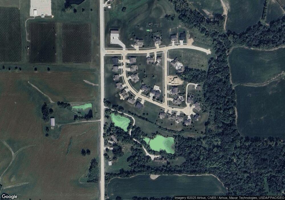
Map
Nearby Homes
- 1714 Neil Dr
- 2129 Idaho Dr
- 2312 Drenthe Laan
- 2123 Idaho Dr
- 2506 Scholte Straat
- 505 Vintage Ln Unit 8
- 505 Vintage Ln Unit 15
- 415 Main St Unit 2B
- 2905 Bos Landen Dr
- 2885 Bos Landen Dr
- 3080 Bos Landen Dr
- 708 & 710 Independence St
- 1112 Liberty St
- 304 E 3rd St Unit 9
- 511 Union St
- 1211 Columbus St
- 2900 Bos Landen Dr
- 2921 Bos Landen Dr
- 301 Union St
- TBD Washington St
- 0 Country Side Ln
- 631 Country Side Ln
- 625 Country Side Ln
- 630 Country Side Ln
- 713 Country Side Ln
- 700 Country Side Ln
- 612 Country Side Ln
- 619 Country Side Ln
- 719 Country Side Ln
- - 218th Ave
- 613 Country Side Ln
- 946 218th Ave
- 718 Country Ln
- 606 Country Side Ln
- 607 Country Side Ln
- 1531 Shady Brook Ln
- 725 Country Side Ln
- 1527 Shady Brook Ln
- 950 218th Ave
- 600 Country Side Ln