Estimated Value: $198,282 - $211,000
4
Beds
2
Baths
1,299
Sq Ft
$156/Sq Ft
Est. Value
About This Home
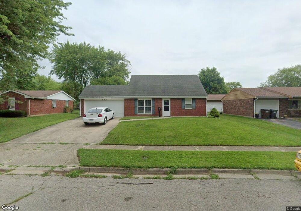
This home is located at 639 Dakota Dr, Xenia, OH 45385 and is currently estimated at $202,821, approximately $156 per square foot. 639 Dakota Dr is a home located in Greene County with nearby schools including Xenia High School and Summit Academy Community School for Alternative Learners - Xenia.
Ownership History
Date
Name
Owned For
Owner Type
Purchase Details
Closed on
Nov 20, 2006
Sold by
Brownlee Lori
Bought by
Montano Louis
Current Estimated Value
Home Financials for this Owner
Home Financials are based on the most recent Mortgage that was taken out on this home.
Original Mortgage
$112,900
Outstanding Balance
$67,530
Interest Rate
6.41%
Mortgage Type
Unknown
Estimated Equity
$135,291
Purchase Details
Closed on
Sep 25, 2000
Sold by
Kendrick James M and Kendrick Tegwen N
Bought by
Gill Elsworth E
Create a Home Valuation Report for This Property
The Home Valuation Report is an in-depth analysis detailing your home's value as well as a comparison with similar homes in the area
Home Values in the Area
Average Home Value in this Area
Purchase History
| Date | Buyer | Sale Price | Title Company |
|---|---|---|---|
| Montano Louis | $112,900 | Midwest Title Company | |
| Gill Elsworth E | $88,000 | -- |
Source: Public Records
Mortgage History
| Date | Status | Borrower | Loan Amount |
|---|---|---|---|
| Open | Montano Louis | $112,900 |
Source: Public Records
Tax History Compared to Growth
Tax History
| Year | Tax Paid | Tax Assessment Tax Assessment Total Assessment is a certain percentage of the fair market value that is determined by local assessors to be the total taxable value of land and additions on the property. | Land | Improvement |
|---|---|---|---|---|
| 2024 | $2,186 | $51,080 | $10,680 | $40,400 |
| 2023 | $2,186 | $51,080 | $10,680 | $40,400 |
| 2022 | $1,830 | $36,470 | $6,280 | $30,190 |
| 2021 | $1,854 | $36,470 | $6,280 | $30,190 |
| 2020 | $1,777 | $36,470 | $6,280 | $30,190 |
| 2019 | $1,628 | $31,470 | $6,260 | $25,210 |
| 2018 | $1,635 | $31,470 | $6,260 | $25,210 |
| 2017 | $1,508 | $31,470 | $6,260 | $25,210 |
| 2016 | $1,508 | $28,490 | $6,260 | $22,230 |
| 2015 | $1,512 | $28,490 | $6,260 | $22,230 |
| 2014 | $1,448 | $28,490 | $6,260 | $22,230 |
Source: Public Records
Map
Nearby Homes
- 2142 Michigan Dr
- 2545 Harmony Dr
- 2257 Maryland Dr
- 414 Whisper Ln
- 1769 Gayhart Dr
- 1829 Gayhart Dr
- 2758 Wyoming Dr
- 219 Kansas Dr
- 1908 Whitt St
- 1653 Seneca Dr
- 1107 Arkansas Dr
- 1403 Texas Dr
- 161 Montana Dr
- 2345 Tennessee Dr
- 1255 Colorado Dr
- 1618 Navajo Dr
- 1866 Roxbury Dr
- 1778 Arapaho Dr
- 2499 Jenny Marie Dr
- 2421 Louisiana Dr