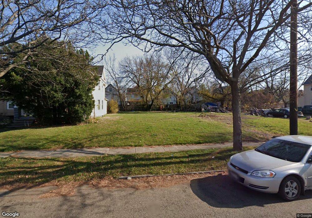
639 E 113th St Cleveland, OH 44108
Forest Hills NeighborhoodEstimated Value: $54,000
4
Beds
1
Bath
1,547
Sq Ft
$35/Sq Ft
Est. Value
About This Home
This home is located at 639 E 113th St, Cleveland, OH 44108 and is currently priced at $54,000, approximately $34 per square foot. 639 E 113th St is a home located in Cuyahoga County with nearby schools including Citizens Academy and St. Aloysius - St. Agatha School.
Ownership History
Date
Name
Owned For
Owner Type
Purchase Details
Closed on
Jun 29, 2021
Sold by
Cuyahoga County Land Reutilization Corp
Bought by
City Of Cleveland Land Reutilization Pro
Current Estimated Value
Purchase Details
Closed on
Apr 18, 2017
Sold by
Woodward Barbara
Bought by
Cuyahoga County Land Reutilization
Purchase Details
Closed on
Apr 21, 2000
Sold by
Estate Of Bobby Woodard
Bought by
Woodard Barbara
Purchase Details
Closed on
Feb 2, 1978
Sold by
Sulak Jennie
Bought by
Woodard Bobby J
Purchase Details
Closed on
Jan 1, 1975
Bought by
Sulak Jennie
Create a Home Valuation Report for This Property
The Home Valuation Report is an in-depth analysis detailing your home's value as well as a comparison with similar homes in the area
Home Values in the Area
Average Home Value in this Area
Purchase History
| Date | Buyer | Sale Price | Title Company |
|---|---|---|---|
| City Of Cleveland Land Reutilization Pro | -- | None Available | |
| Cuyahoga County Land Reutilization | -- | None Available | |
| Woodard Barbara | -- | -- | |
| Woodard Bobby J | $17,000 | -- | |
| Sulak Jennie | -- | -- |
Source: Public Records
Tax History
| Year | Tax Paid | Tax Assessment Tax Assessment Total Assessment is a certain percentage of the fair market value that is determined by local assessors to be the total taxable value of land and additions on the property. | Land | Improvement |
|---|---|---|---|---|
| 2024 | -- | $700 | $700 | -- |
| 2022 | $0 | $1,400 | $1,400 | $0 |
| 2021 | $0 | $1,400 | $1,400 | $0 |
| 2020 | $0 | $1,400 | $1,400 | $0 |
| 2019 | $19,391 | $0 | $0 | $0 |
| 2018 | $666 | $1,400 | $1,400 | $0 |
| 2017 | $0 | $0 | $0 | $0 |
| 2016 | $638 | $5,050 | $670 | $4,380 |
| 2015 | $15,817 | $5,050 | $670 | $4,380 |
| 2014 | $15,817 | $5,610 | $740 | $4,870 |
Source: Public Records
Map
Nearby Homes
- 680 E 115th St
- 571 E 115th St
- 521 E 112th St
- 554 Eddy Rd
- 753 E 118th St
- 10811 Sprague Ave
- 10724 Sprague Ave
- 742 Linn Dr
- 528 E 109th St
- 512 Eddy Rd
- 475 E 118th St
- 472 E 110th St
- 639 E 124th St
- 667 E 124th St
- 550 E 107th St
- 718 E 124th St
- 662 E 125th St
- 786 Parkwood Dr
- 10703 Kimberley Ave
- 660 E 126th St
Your Personal Tour Guide
Ask me questions while you tour the home.