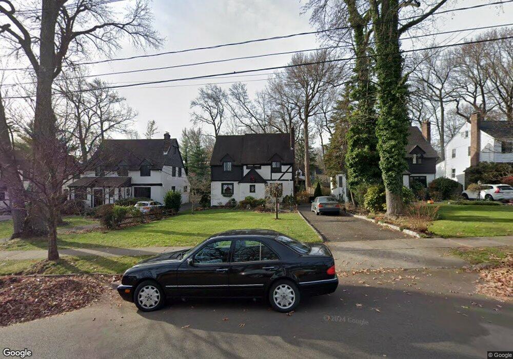
639 Forest Ave Westfield, NJ 07090
Estimated Value: $1,001,882 - $1,123,000
--
Bed
--
Bath
1,962
Sq Ft
$547/Sq Ft
Est. Value
About This Home
This home is located at 639 Forest Ave, Westfield, NJ 07090 and is currently estimated at $1,073,471, approximately $547 per square foot. 639 Forest Ave is a home located in Union County with nearby schools including Franklin Elementary School, Roosevelt Intermediate School, and Westfield Senior High School.
Ownership History
Date
Name
Owned For
Owner Type
Purchase Details
Closed on
Jul 11, 1997
Sold by
The Chase Manhattan Bank
Bought by
Jones Kelwin and Jones Maureen F
Current Estimated Value
Home Financials for this Owner
Home Financials are based on the most recent Mortgage that was taken out on this home.
Original Mortgage
$207,000
Interest Rate
7.79%
Purchase Details
Closed on
Oct 4, 1996
Sold by
Froehlich Ralph
Bought by
Chemical Bank
Home Financials for this Owner
Home Financials are based on the most recent Mortgage that was taken out on this home.
Original Mortgage
$217,274
Interest Rate
7.98%
Create a Home Valuation Report for This Property
The Home Valuation Report is an in-depth analysis detailing your home's value as well as a comparison with similar homes in the area
Home Values in the Area
Average Home Value in this Area
Purchase History
| Date | Buyer | Sale Price | Title Company |
|---|---|---|---|
| Jones Kelwin | $259,000 | -- | |
| Chemical Bank | $38,245 | -- |
Source: Public Records
Mortgage History
| Date | Status | Borrower | Loan Amount |
|---|---|---|---|
| Closed | Jones Kelwin | $207,000 | |
| Previous Owner | Chemical Bank | $217,274 |
Source: Public Records
Tax History Compared to Growth
Tax History
| Year | Tax Paid | Tax Assessment Tax Assessment Total Assessment is a certain percentage of the fair market value that is determined by local assessors to be the total taxable value of land and additions on the property. | Land | Improvement |
|---|---|---|---|---|
| 2025 | $15,604 | $692,900 | $460,300 | $232,600 |
| 2024 | $15,285 | $692,900 | $460,300 | $232,600 |
| 2023 | $15,285 | $692,900 | $460,300 | $232,600 |
| 2022 | $14,967 | $692,900 | $460,300 | $232,600 |
| 2021 | $14,987 | $692,900 | $460,300 | $232,600 |
| 2020 | $14,953 | $692,900 | $460,300 | $232,600 |
| 2019 | $14,897 | $692,900 | $460,300 | $232,600 |
| 2018 | $14,113 | $151,800 | $65,600 | $86,200 |
| 2017 | $14,035 | $151,800 | $65,600 | $86,200 |
| 2016 | $13,706 | $151,800 | $65,600 | $86,200 |
| 2015 | $13,433 | $151,800 | $65,600 | $86,200 |
| 2014 | $12,990 | $151,800 | $65,600 | $86,200 |
Source: Public Records
Map
Nearby Homes
- 629 Clark St
- 143 Stanmore Place
- 2314 Longfellow Ave
- 608 Hort St
- 2359 Morse Ave
- 869 Ternay Ave
- 724 South Ave W Unit 724A
- 2286 Stocker Ln
- 303 Prospect St
- 2219 North Ave Unit 6
- 2116 Newark Ave
- 559 Lawrence Ave
- 740 Lawrence Ave
- 525 Edgar Rd
- 119 Lamberts Mill Rd
- 2154 W Broad St
- 415 Highland Ave
- 2269 Redwood Rd
- 538 Westfield Ave
- 2588 Liberty Ave