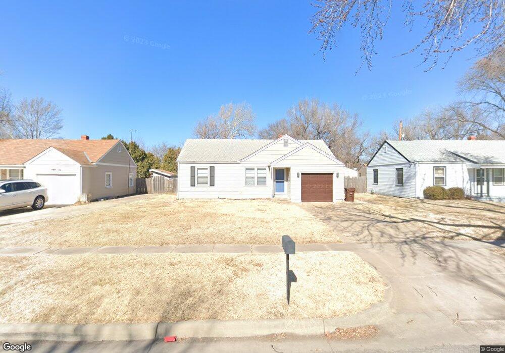
639 S Barlow St Wichita, KS 67207
Eastridge NeighborhoodEstimated Value: $119,303 - $127,000
3
Beds
1
Bath
892
Sq Ft
$138/Sq Ft
Est. Value
About This Home
This home is located at 639 S Barlow St, Wichita, KS 67207 and is currently estimated at $123,152, approximately $138 per square foot. 639 S Barlow St is a home located in Sedgwick County with nearby schools including Clark Elementary School, Curtis Middle School, and Wichita Southeast High School.
Ownership History
Date
Name
Owned For
Owner Type
Purchase Details
Closed on
Dec 14, 2011
Sold by
U S Bank National Association
Bought by
Millis Martin A and Agnew Antoine L
Current Estimated Value
Home Financials for this Owner
Home Financials are based on the most recent Mortgage that was taken out on this home.
Original Mortgage
$28,600
Outstanding Balance
$19,583
Interest Rate
4.03%
Mortgage Type
Future Advance Clause Open End Mortgage
Estimated Equity
$103,569
Purchase Details
Closed on
Nov 2, 2006
Sold by
Arment Lp
Bought by
Alcorn Robert J
Home Financials for this Owner
Home Financials are based on the most recent Mortgage that was taken out on this home.
Original Mortgage
$63,500
Interest Rate
6.37%
Mortgage Type
New Conventional
Purchase Details
Closed on
Feb 22, 2001
Sold by
Va
Bought by
Bankers Trust Company Of California Na
Purchase Details
Closed on
Jan 14, 2000
Sold by
Bailey Heather C
Bought by
Va
Create a Home Valuation Report for This Property
The Home Valuation Report is an in-depth analysis detailing your home's value as well as a comparison with similar homes in the area
Home Values in the Area
Average Home Value in this Area
Purchase History
| Date | Buyer | Sale Price | Title Company |
|---|---|---|---|
| Millis Martin A | -- | Mokan Title Services Llc | |
| Alcorn Robert J | -- | None Available | |
| Bankers Trust Company Of California Na | -- | -- | |
| Va | $28,171 | -- |
Source: Public Records
Mortgage History
| Date | Status | Borrower | Loan Amount |
|---|---|---|---|
| Open | Millis Martin A | $28,600 | |
| Previous Owner | Alcorn Robert J | $63,500 |
Source: Public Records
Tax History Compared to Growth
Tax History
| Year | Tax Paid | Tax Assessment Tax Assessment Total Assessment is a certain percentage of the fair market value that is determined by local assessors to be the total taxable value of land and additions on the property. | Land | Improvement |
|---|---|---|---|---|
| 2025 | $915 | $10,408 | $2,542 | $7,866 |
| 2023 | $915 | $8,764 | $1,714 | $7,050 |
| 2022 | $786 | $7,556 | $1,622 | $5,934 |
| 2021 | $755 | $6,832 | $978 | $5,854 |
| 2020 | $758 | $6,832 | $978 | $5,854 |
| 2019 | $707 | $6,383 | $978 | $5,405 |
| 2018 | $686 | $6,199 | $1,035 | $5,164 |
| 2017 | $687 | $0 | $0 | $0 |
| 2016 | $685 | $0 | $0 | $0 |
| 2015 | $702 | $0 | $0 | $0 |
| 2014 | $711 | $0 | $0 | $0 |
Source: Public Records
Map
Nearby Homes
- 650 S Drury Ln
- 626 S Drury Ln
- 709 S Drury Ln
- 6605 & 6607 E Cottonwood
- 747 S Eastridge St
- 807 San Pablo St
- 6718 E Orme St
- 930 Lexington Rd
- 1038 S Fabrique Dr
- 1123 S Woodlawn Blvd
- 1205 S Governeour Rd
- 1033 S Doreen St
- 1221 S Governeour Rd
- 5732 Castle Dr
- 7915 E Watson Ln
- 1134 S Fabrique Dr
- 418 S Waverly Dr
- 6163 E Boston St
- 8026 E Gilbert St
- 0 S Woodlawn Blvd
- 633 S Barlow St
- 645 S Barlow St
- 627 S Barlow St
- 651 S Barlow St
- 638 S Drury Ln
- 662 S Barlow St
- 632 S Drury Ln
- 658 S Barlow St
- 666 S Barlow St
- 644 S Drury Ln
- 621 S Barlow St
- 654 S Barlow St
- 657 S Barlow St
- 670 S Barlow St
- 650 S Barlow St
- 620 S Drury Ln
- 656 S Drury Ln
- 674 S Barlow St
- 615 S Barlow St
- 646 S Barlow St