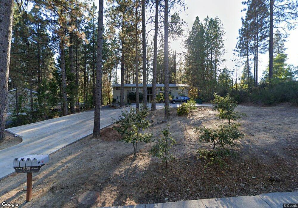
639 W Broad St Nevada City, CA 95959
Estimated Value: $809,000 - $1,002,000
--
Bed
--
Bath
--
Sq Ft
0.5
Acres
About This Home
This home is located at 639 W Broad St, Nevada City, CA 95959 and is currently estimated at $892,667. 639 W Broad St is a home located in Nevada County with nearby schools including Deer Creek Elementary School, Seven Hills Intermediate School, and Forest Charter School.
Ownership History
Date
Name
Owned For
Owner Type
Purchase Details
Closed on
Sep 22, 2009
Sold by
Okeeffe Brendan and Brendan Okeeffe Trust
Bought by
Switzer Steven Allen Joseph and Switzer Edith Ann
Current Estimated Value
Purchase Details
Closed on
May 10, 2006
Sold by
Okeeffe Brendan
Bought by
Okeeffe Brendan and The Brendan Okeeffe Trust
Home Financials for this Owner
Home Financials are based on the most recent Mortgage that was taken out on this home.
Original Mortgage
$476,250
Interest Rate
2.5%
Mortgage Type
Fannie Mae Freddie Mac
Create a Home Valuation Report for This Property
The Home Valuation Report is an in-depth analysis detailing your home's value as well as a comparison with similar homes in the area
Home Values in the Area
Average Home Value in this Area
Purchase History
| Date | Buyer | Sale Price | Title Company |
|---|---|---|---|
| Switzer Steven Allen Joseph | $475,000 | Placer Title Company | |
| Okeeffe Brendan | -- | Placer Title Company | |
| Okeeffe Brendan | $635,000 | Placer Title Company |
Source: Public Records
Mortgage History
| Date | Status | Borrower | Loan Amount |
|---|---|---|---|
| Previous Owner | Okeeffe Brendan | $476,250 |
Source: Public Records
Tax History Compared to Growth
Tax History
| Year | Tax Paid | Tax Assessment Tax Assessment Total Assessment is a certain percentage of the fair market value that is determined by local assessors to be the total taxable value of land and additions on the property. | Land | Improvement |
|---|---|---|---|---|
| 2025 | $6,509 | $613,124 | $354,969 | $258,155 |
| 2024 | $6,393 | $601,103 | $348,009 | $253,094 |
| 2023 | $6,393 | $589,318 | $341,186 | $248,132 |
| 2022 | $6,267 | $577,764 | $334,497 | $243,267 |
| 2021 | $6,081 | $566,437 | $327,939 | $238,498 |
| 2020 | $6,072 | $560,630 | $324,577 | $236,053 |
| 2019 | $5,954 | $549,638 | $318,213 | $231,425 |
| 2018 | $0 | $538,862 | $311,974 | $226,888 |
| 2017 | $5,735 | $528,297 | $305,857 | $222,440 |
| 2016 | $5,529 | $517,939 | $299,860 | $218,079 |
| 2015 | $5,454 | $510,160 | $295,356 | $214,804 |
| 2014 | $5,454 | $500,168 | $289,571 | $210,597 |
Source: Public Records
Map
Nearby Homes
- 140 Redbud Way
- 520 Lost Hill Ct
- 708 W Broad St
- 660 Chief Kelly Dr
- 661 Chief Kelly Dr
- 651 Chief Kelly Dr
- 631 Chief Kelly Dr
- 327 Drummond St
- 500 Factory St
- 214 Mill St
- 210 Mill St
- 421 Broad St
- 16970 Old Downieville Hwy
- 439 Washington St
- 447 Zion St
- 134 Boulder St
- 157 Grove St
- 342 Bridge Way
- 327 Bridge Way
- 336 Bridge Way
- 637 W Broad St
- 641 W Broad St
- 0 W Broad St Unit 16604097
- 0 W Broad St
- 633 W Broad St
- 656 W Broad St
- 611 Redbud Way Unit 15
- 507 Redbud Way Unit 30
- 160 Redbud Way
- 627 W Broad St
- 609 Redbud Way Unit 13
- 606 Redbud Way
- 607 Redbud Way
- 121 Orchard St
- 506 Redbud Way
- 604 Redbud Way Unit 17
- 503 Redbud Way Unit 28
- 605 Redbud Way