639 Wildcat Canyon Rd Unit 61 Sutherlin, OR 97479
Estimated Value: $454,000 - $545,000
3
Beds
3
Baths
2,082
Sq Ft
$246/Sq Ft
Est. Value
About This Home
This home is located at 639 Wildcat Canyon Rd Unit 61, Sutherlin, OR 97479 and is currently estimated at $511,287, approximately $245 per square foot. 639 Wildcat Canyon Rd Unit 61 is a home located in Douglas County with nearby schools including East Sutherlin Primary School, West Sutherlin Intermediate School, and Sutherlin Middle School.
Ownership History
Date
Name
Owned For
Owner Type
Purchase Details
Closed on
Jan 3, 2024
Sold by
Dw & S Llc
Bought by
Hibbs Susan C
Current Estimated Value
Home Financials for this Owner
Home Financials are based on the most recent Mortgage that was taken out on this home.
Original Mortgage
$460,750
Outstanding Balance
$450,914
Interest Rate
5.88%
Mortgage Type
New Conventional
Estimated Equity
$60,373
Purchase Details
Closed on
Aug 29, 2018
Sold by
Vase Llc
Bought by
Russi Joseph and Russi Joe
Home Financials for this Owner
Home Financials are based on the most recent Mortgage that was taken out on this home.
Original Mortgage
$205,000
Interest Rate
4.5%
Mortgage Type
New Conventional
Create a Home Valuation Report for This Property
The Home Valuation Report is an in-depth analysis detailing your home's value as well as a comparison with similar homes in the area
Home Values in the Area
Average Home Value in this Area
Purchase History
| Date | Buyer | Sale Price | Title Company |
|---|---|---|---|
| Hibbs Susan C | $485,000 | First American Title | |
| Russi Joseph | $80,000 | First American Title |
Source: Public Records
Mortgage History
| Date | Status | Borrower | Loan Amount |
|---|---|---|---|
| Open | Hibbs Susan C | $460,750 | |
| Previous Owner | Russi Joseph | $205,000 |
Source: Public Records
Tax History Compared to Growth
Tax History
| Year | Tax Paid | Tax Assessment Tax Assessment Total Assessment is a certain percentage of the fair market value that is determined by local assessors to be the total taxable value of land and additions on the property. | Land | Improvement |
|---|---|---|---|---|
| 2024 | $4,950 | $413,839 | -- | -- |
| 2023 | $4,809 | $401,786 | $0 | $0 |
| 2022 | $4,670 | $390,084 | $0 | $0 |
| 2021 | $4,050 | $338,102 | $0 | $0 |
| 2020 | $3,931 | $328,255 | $0 | $0 |
| 2019 | $2,451 | $204,621 | $0 | $0 |
| 2018 | $1,089 | $90,908 | $0 | $0 |
| 2017 | $949 | $75,460 | $0 | $0 |
| 2016 | $949 | $75,460 | $0 | $0 |
| 2015 | $1,116 | $88,261 | $0 | $0 |
| 2014 | $1,083 | $85,691 | $0 | $0 |
| 2013 | -- | $83,196 | $0 | $0 |
Source: Public Records
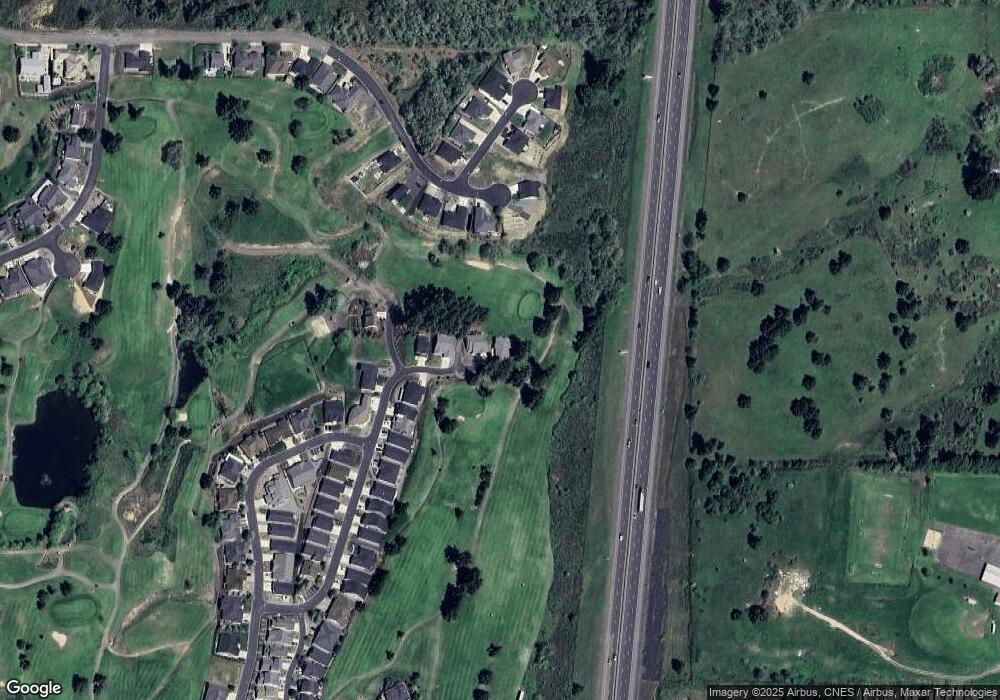
Map
Nearby Homes
- 1660 Scardi Blvd
- 1716 Scardi Blvd Unit 174
- 420 Backwater Loop
- 702 Divot Loop
- 0 Dakota St Unit B 500248401
- 832 Sand Pines Ave
- 881 Medina Ave
- 890 Durham Ave
- 1688 W Central Ave
- 181 SW Hutchins St
- 165 Robinson St
- 279 Grant St
- 910 Swallow Ave
- 135 Elkton St
- 126 Coles Valley St
- 154 Coles Valley St
- 149 Coles Valley St
- 226 Miller St
- 220 Miller St
- 1223 Duke Ave
- 639 Wildcat Canyon Rd
- 633 Wildcat Canyon Rd
- 633 Wildcat Canyon Rd Unit 62
- 627 Wildcat Canyon Rd
- 618 Bunker Rd
- 604 Wildcat Canyon Rd Unit 60
- 604 Wildcat Canyon Rd
- 602 Wildcat Canyon Rd Unit 59
- 602 Wildcat Canyon Rd
- 592 Wildcat Canyon Rd Unit 58
- 592 Wildcat Canyon Rd
- 613 Bunker Rd
- 607 Wildcat Canyon Rd
- 1660 Scardi Blvd Unit 151
- 586 Wildcat Canyon Rd
- 1668 Scardi Blvd
- 623 Bunker Rd
- 1676 Scardi Blvd
- 580 Wildcat Canyon Rd
- 591 Wildcat Canyon Rd