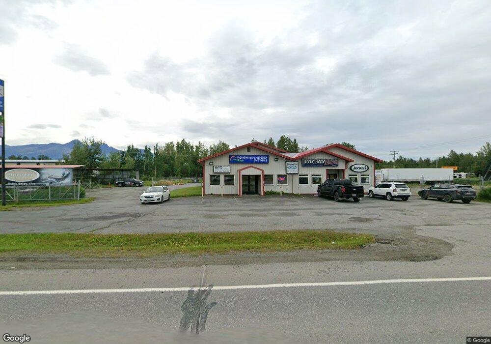
6390 E Fireweed Rd Palmer, AK 99645
Gateway Neighborhood
--
Bed
--
Bath
2,608
Sq Ft
1.42
Acres
About This Home
This home is located at 6390 E Fireweed Rd, Palmer, AK 99645. 6390 E Fireweed Rd is a home located in Matanuska-Susitna Borough with nearby schools including Fred & Sara Machetanz Elementary School, Colony Middle School, and Colony High School.
Ownership History
Date
Name
Owned For
Owner Type
Purchase Details
Closed on
Jul 9, 2012
Sold by
Last Frontier Development Llc
Bought by
C5 Llc
Home Financials for this Owner
Home Financials are based on the most recent Mortgage that was taken out on this home.
Original Mortgage
$427,725
Outstanding Balance
$250,331
Interest Rate
3.7%
Mortgage Type
Commercial
Purchase Details
Closed on
Jun 17, 2004
Sold by
Little Norman R and Little Katherine
Bought by
Last Frontier Development Llc
Create a Home Valuation Report for This Property
The Home Valuation Report is an in-depth analysis detailing your home's value as well as a comparison with similar homes in the area
Home Values in the Area
Average Home Value in this Area
Purchase History
| Date | Buyer | Sale Price | Title Company |
|---|---|---|---|
| C5 Llc | -- | Mat Su Title Ins Agency Inc | |
| Last Frontier Development Llc | -- | -- |
Source: Public Records
Mortgage History
| Date | Status | Borrower | Loan Amount |
|---|---|---|---|
| Open | C5 Llc | $427,725 |
Source: Public Records
Tax History Compared to Growth
Tax History
| Year | Tax Paid | Tax Assessment Tax Assessment Total Assessment is a certain percentage of the fair market value that is determined by local assessors to be the total taxable value of land and additions on the property. | Land | Improvement |
|---|---|---|---|---|
| 2025 | $6,191 | $550,200 | $216,700 | $333,500 |
| 2024 | $6,191 | $483,300 | $216,700 | $266,600 |
| 2023 | $6,240 | $495,900 | $216,700 | $279,200 |
| 2022 | $6,425 | $462,800 | $216,700 | $246,100 |
| 2021 | $5,797 | $378,800 | $216,700 | $162,100 |
| 2020 | $6,182 | $392,200 | $216,700 | $175,500 |
| 2019 | $6,403 | $403,000 | $216,700 | $186,300 |
| 2018 | $6,452 | $408,100 | $216,700 | $191,400 |
| 2017 | $6,596 | $417,200 | $216,700 | $200,500 |
| 2016 | $6,640 | $430,100 | $216,700 | $213,400 |
| 2015 | $5,963 | $427,600 | $216,700 | $210,900 |
| 2014 | $5,963 | $424,700 | $216,700 | $208,000 |
Source: Public Records
Map
Nearby Homes
- 2206 S Sanctuary Dr
- 2154 S Sanctuary Dr
- 2330 S Star View Cir
- 6645 E Gateway Dr
- 2317 S Sanctuary Dr
- 6675 E Gateway Dr
- 2445 S Sanctuary Dr
- 1571 S Middle Mesa Dr
- 6730 E Exquisite Dr
- 2425 S Sunrise View Cir
- 3261 S Charming Valley Loop
- 6628 E Preservation Dr
- 6779 E Preservation Dr
- 2600 S Sanctuary Dr
- 6991 E Connect Ct
- 2540 S Sunrise View Cir
- 5740 E Blue Lupine Dr
- 2545 S Sunrise View Cir
- 2176 S Skyward View Cir
- L7 B1 S Skyward View Cir
- 6341 Larson Way
- Lot 5 Larson Way Unit 3
- 6391 Larson Way
- L5 Larson Way Unit 3
- 1985 S Church St Unit 8
- 1985 S Church St Unit 6
- 1985 S Church St Unit 3
- 6340 Larson Way
- 1980 S Church St
- 1910 S Terrace Ct
- 6623 E Blue Lupine Dr
- 2010 S Church St
- 6445 E Blue Lupine Dr
- 2027 S Church St
- 6491 E Blue Lupine Dr
- L1 E Wycoff Dr
- 6445 E Blue Lupine Dr
- 2040 S Church St
- 6151 E Paige Cir
- 6151 E Paige Cir Unit 10