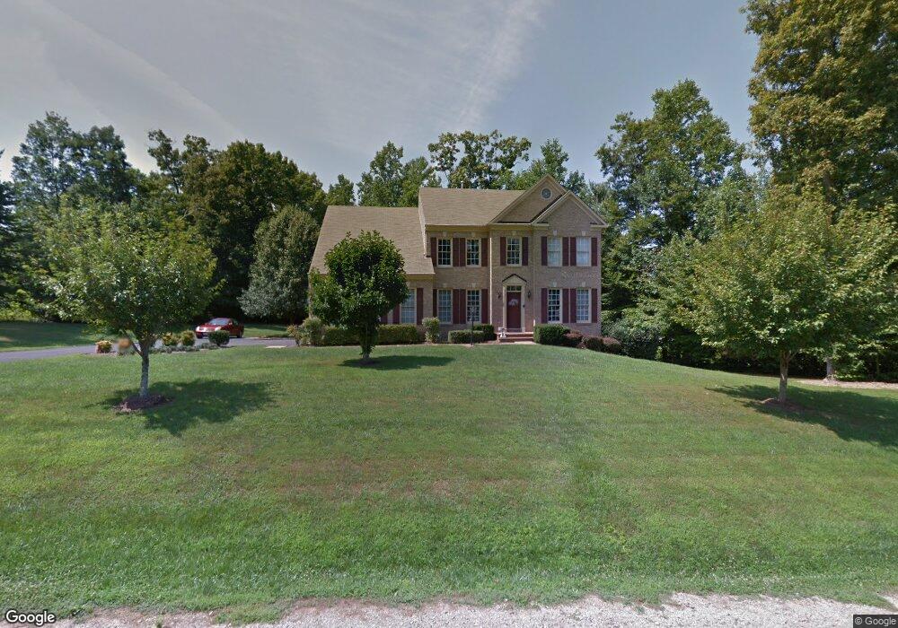
6391 Acer Ct Manassas, VA 20112
Estimated Value: $807,145 - $963,000
4
Beds
4
Baths
3,208
Sq Ft
$283/Sq Ft
Est. Value
About This Home
This home is located at 6391 Acer Ct, Manassas, VA 20112 and is currently estimated at $908,786, approximately $283 per square foot. 6391 Acer Ct is a home located in Prince William County with nearby schools including Coles Elementary School, Charles J. Colgan Senior High School, and Louise A. Benton Middle School.
Ownership History
Date
Name
Owned For
Owner Type
Purchase Details
Closed on
Apr 19, 2019
Sold by
Hairston Veronica
Bought by
Hairston Michael
Current Estimated Value
Purchase Details
Closed on
Aug 2, 2000
Sold by
Haddon Group Inc
Bought by
Hairston Michael D
Home Financials for this Owner
Home Financials are based on the most recent Mortgage that was taken out on this home.
Original Mortgage
$334,935
Interest Rate
8.1%
Create a Home Valuation Report for This Property
The Home Valuation Report is an in-depth analysis detailing your home's value as well as a comparison with similar homes in the area
Home Values in the Area
Average Home Value in this Area
Purchase History
| Date | Buyer | Sale Price | Title Company |
|---|---|---|---|
| Hairston Michael | -- | None Available | |
| Hairston Michael D | $372,150 | -- |
Source: Public Records
Mortgage History
| Date | Status | Borrower | Loan Amount |
|---|---|---|---|
| Previous Owner | Hairston Michael D | $334,935 |
Source: Public Records
Tax History Compared to Growth
Tax History
| Year | Tax Paid | Tax Assessment Tax Assessment Total Assessment is a certain percentage of the fair market value that is determined by local assessors to be the total taxable value of land and additions on the property. | Land | Improvement |
|---|---|---|---|---|
| 2025 | $7,224 | $798,500 | $294,500 | $504,000 |
| 2024 | $7,224 | $726,400 | $267,700 | $458,700 |
| 2023 | $6,620 | $636,200 | $233,000 | $403,200 |
| 2022 | $6,822 | $616,000 | $223,900 | $392,100 |
| 2021 | $7,160 | $588,800 | $213,000 | $375,800 |
| 2020 | $8,902 | $574,300 | $206,800 | $367,500 |
| 2019 | $8,705 | $561,600 | $200,500 | $361,100 |
| 2018 | $6,725 | $556,900 | $200,500 | $356,400 |
| 2017 | $6,858 | $559,300 | $200,500 | $358,800 |
| 2016 | $6,507 | $535,400 | $190,800 | $344,600 |
| 2015 | $6,582 | $528,100 | $186,900 | $341,200 |
| 2014 | $6,582 | $530,100 | $186,900 | $343,200 |
Source: Public Records
Map
Nearby Homes
- 14452 Alps Dr
- 6435 Apple Tree Ct
- 5833 Rhode Island Dr
- 5886 Rhode Island Dr
- 5850 Anthony Dr
- 13528 Persian Ct
- 13660 Van Doren Rd
- 13647 Van Doren Rd
- 6131 Lost Colony Dr
- 13454 Princedale Dr
- 5710 Rhode Island Dr
- 14612 Bridle Creek Rd
- 6013 Pepco Ct
- 13501 Photo Dr
- 13750 Ensenada Ct
- 5678 Roundtree Dr
- 14371 Salsbury Ct
- 5611 Roundtree Dr
- 6757 John Mallard Dr
- 5655 Roundtree Dr
- 6390 Acer Ct
- 14020 Holly Forest Dr
- 14031 Holly Forest Dr
- 6361 Acer Ct
- 6470 Passage Creek Ln
- 14030 Holly Forest Dr
- 6405 Lindera Ct
- 6380 Acer Ct
- 14001 Holly Forest Dr
- 14041 Holly Forest Dr
- 14000 Holly Forest Dr
- 14040 Holly Forest Dr
- 6495 Passage Creek Ln
- 6351 Acer Ct
- 14060 Aris Ct
- 6412 Lindera Ct
- 6490 Passage Creek Ln
- 6360 Acer Ct
- 6420 Lindera Ct
- 6544 Manet Ct