6392 State Route 305 Fowler, OH 44418
Estimated Value: $285,000 - $298,167
3
Beds
2
Baths
1,479
Sq Ft
$196/Sq Ft
Est. Value
About This Home
This home is located at 6392 State Route 305, Fowler, OH 44418 and is currently estimated at $289,292, approximately $195 per square foot. 6392 State Route 305 is a home located in Trumbull County with nearby schools including Badger Elementary School, Badger Middle School, and Badger High School.
Ownership History
Date
Name
Owned For
Owner Type
Purchase Details
Closed on
Apr 21, 2011
Sold by
Humenik Diane M
Bought by
Haun James W and Haun Janine M
Current Estimated Value
Home Financials for this Owner
Home Financials are based on the most recent Mortgage that was taken out on this home.
Original Mortgage
$141,324
Interest Rate
4.87%
Mortgage Type
FHA
Purchase Details
Closed on
Apr 20, 2011
Sold by
Humenik Diane M
Bought by
Haun James W and Haun Janine M
Home Financials for this Owner
Home Financials are based on the most recent Mortgage that was taken out on this home.
Original Mortgage
$141,324
Interest Rate
4.87%
Mortgage Type
FHA
Create a Home Valuation Report for This Property
The Home Valuation Report is an in-depth analysis detailing your home's value as well as a comparison with similar homes in the area
Home Values in the Area
Average Home Value in this Area
Purchase History
| Date | Buyer | Sale Price | Title Company |
|---|---|---|---|
| Haun James W | $145,000 | Attorney | |
| Haun James W | $145,000 | Attorney |
Source: Public Records
Mortgage History
| Date | Status | Borrower | Loan Amount |
|---|---|---|---|
| Closed | Haun James W | $141,324 | |
| Closed | Haun James W | $141,324 |
Source: Public Records
Tax History Compared to Growth
Tax History
| Year | Tax Paid | Tax Assessment Tax Assessment Total Assessment is a certain percentage of the fair market value that is determined by local assessors to be the total taxable value of land and additions on the property. | Land | Improvement |
|---|---|---|---|---|
| 2024 | $3,235 | $75,430 | $9,910 | $65,520 |
| 2023 | $3,235 | $75,430 | $9,910 | $65,520 |
| 2022 | $2,936 | $61,820 | $9,000 | $52,820 |
| 2021 | $2,936 | $61,820 | $9,000 | $52,820 |
| 2020 | $2,956 | $61,820 | $9,000 | $52,820 |
| 2019 | $2,758 | $54,250 | $8,330 | $45,920 |
| 2018 | $2,764 | $54,250 | $8,330 | $45,920 |
| 2017 | $2,757 | $54,250 | $8,330 | $45,920 |
| 2016 | $2,585 | $51,140 | $8,330 | $42,810 |
| 2015 | $2,481 | $51,140 | $8,330 | $42,810 |
| 2014 | $2,479 | $51,140 | $8,330 | $42,810 |
| 2013 | $2,603 | $51,140 | $8,330 | $42,810 |
Source: Public Records
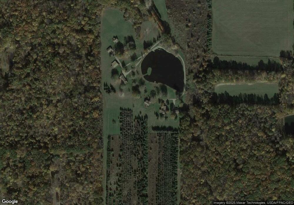
Map
Nearby Homes
- 3164 Ohio 7
- 4016 State Route 7
- 7131 Drake Stateline Rd NE
- 7155 Drake State Line Rd
- 2486 Waynewood Dr NE
- 2728 Sodom Hutchings Rd
- 4875 Cadwallader-Sonk Rd
- 7974 Thompson Sharpsville Rd
- 8038 Thompson Sharpsville Rd
- 1921 Custer Orangeville Rd
- 2009 Sodom Hutchings Rd NE
- 8274 Thompson Sharpsville Rd
- 0 Albright McKay Rd NE
- 8084 State Route 609
- 5329 Tamarack Dr
- 1565 Sodom Hutchings Rd NE
- 1555 Sodom Hutchings Rd NE
- 1212 State Route 7 NE
- 4274 Cadwallader-Sonk Rd
- 2601 Orangeville Rd
- 6392 Wilson Sharpsville Rd
- 6416 State Route 305
- 6406 Wilson Sharpsville Rd
- 6406 State Route 305
- 6426 State Route 305
- 1 Wilson Sharpsville
- 6436 State Route 305
- 6385 State Route 305
- 6456 State Route 305
- 6464 State Route 305
- 6490 State Route 305
- 3090 Bushnell Campbell Rd
- 6293 State Route 305
- 6293 Wilson Sharpsville Rd
- 3130 Bushnell Campbell Rd
- 6522 State Route 305
- 3342 Bushnell Campbell Rd
- 3180 Bushnell Campbell Rd
- 3102 Bushnell Campbell Rd
- 3201 Bushnell Campbell Rd