6393 Colombe Rd Chisholm, MN 55719
Estimated Value: $186,000 - $235,000
3
Beds
1
Bath
1,050
Sq Ft
$199/Sq Ft
Est. Value
About This Home
This home is located at 6393 Colombe Rd, Chisholm, MN 55719 and is currently estimated at $209,017, approximately $199 per square foot. 6393 Colombe Rd is a home located in St. Louis County with nearby schools including Vaughan Elementary School, Chisholm Elementary School, and Chisholm Secondary School.
Ownership History
Date
Name
Owned For
Owner Type
Purchase Details
Closed on
May 21, 2021
Sold by
Preston Gary C and Preston Michaelene
Bought by
Lockwood Michael Earl
Current Estimated Value
Home Financials for this Owner
Home Financials are based on the most recent Mortgage that was taken out on this home.
Original Mortgage
$147,283
Outstanding Balance
$132,979
Interest Rate
3%
Mortgage Type
FHA
Estimated Equity
$76,038
Create a Home Valuation Report for This Property
The Home Valuation Report is an in-depth analysis detailing your home's value as well as a comparison with similar homes in the area
Home Values in the Area
Average Home Value in this Area
Purchase History
| Date | Buyer | Sale Price | Title Company |
|---|---|---|---|
| Lockwood Michael Earl | $154,000 | Midland Title | |
| Lockwood Michael Michael | $150,000 | -- |
Source: Public Records
Mortgage History
| Date | Status | Borrower | Loan Amount |
|---|---|---|---|
| Open | Lockwood Michael Earl | $147,283 | |
| Closed | Lockwood Michael Michael | $147,283 |
Source: Public Records
Tax History Compared to Growth
Tax History
| Year | Tax Paid | Tax Assessment Tax Assessment Total Assessment is a certain percentage of the fair market value that is determined by local assessors to be the total taxable value of land and additions on the property. | Land | Improvement |
|---|---|---|---|---|
| 2024 | $1,750 | $184,600 | $31,400 | $153,200 |
| 2023 | $1,750 | $171,600 | $31,400 | $140,200 |
| 2022 | $584 | $142,700 | $28,300 | $114,400 |
| 2021 | $594 | $89,400 | $26,200 | $63,200 |
| 2020 | $538 | $84,800 | $26,200 | $58,600 |
| 2019 | $566 | $84,800 | $26,200 | $58,600 |
| 2018 | $520 | $84,800 | $26,200 | $58,600 |
| 2017 | $672 | $82,900 | $26,200 | $56,700 |
| 2016 | $688 | $95,800 | $25,000 | $70,800 |
| 2015 | $678 | $57,700 | $17,000 | $40,700 |
| 2014 | $678 | $57,700 | $17,000 | $40,700 |
Source: Public Records
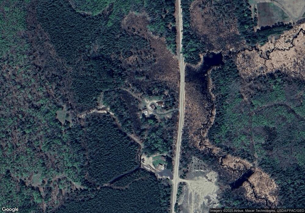
Map
Nearby Homes
- 6821 Barrett Rd
- 11452 Cooper Rd
- TBD French Rd
- Tbd French Rd Unit LotWP001
- TBD Sherwood Anderson Rd
- TBD NE 3rd St
- 6592 Dewey Point Rd
- 103 Sharon St
- 401 Memorial Dr
- 609 8th St NW
- 808 Center Dr NW
- 197 Jefferson St
- 203 Jefferson St
- 205 Jefferson St
- 514 4th St NW
- 600 4th St NW
- 217 3rd Ave NW
- 500 10th Ave NW
- 13 1st St SW
- 757 3rd St NW