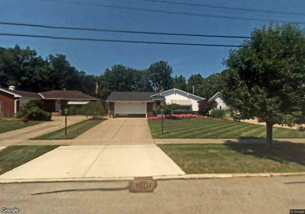
6395 Longridge Rd Cleveland, OH 44124
Estimated Value: $275,695 - $332,000
3
Beds
2
Baths
1,365
Sq Ft
$230/Sq Ft
Est. Value
About This Home
This home is located at 6395 Longridge Rd, Cleveland, OH 44124 and is currently estimated at $313,924, approximately $229 per square foot. 6395 Longridge Rd is a home located in Cuyahoga County with nearby schools including Mayfield High School, Gilmour Academy, and University School.
Ownership History
Date
Name
Owned For
Owner Type
Purchase Details
Closed on
Oct 7, 2025
Sold by
Pawlowski Margaret M and Pawlowski Adam
Bought by
Pawlowski Adam
Current Estimated Value
Purchase Details
Closed on
Jul 22, 2004
Sold by
Montani Raymond R and Montani Mary Ann
Bought by
Pawlowski Adam and Pawlowski Margaret
Home Financials for this Owner
Home Financials are based on the most recent Mortgage that was taken out on this home.
Original Mortgage
$90,000
Interest Rate
5.93%
Mortgage Type
New Conventional
Purchase Details
Closed on
May 29, 2003
Sold by
Montani Raymond R and Montani Mary Ann
Bought by
Montani Raymond R and Montani Mary Ann
Purchase Details
Closed on
Nov 8, 1985
Sold by
Tomaselli Mary A
Bought by
Montani Mary A and Montani Raymond R
Purchase Details
Closed on
Jan 1, 1975
Bought by
Tomaselli Mary A
Create a Home Valuation Report for This Property
The Home Valuation Report is an in-depth analysis detailing your home's value as well as a comparison with similar homes in the area
Home Values in the Area
Average Home Value in this Area
Purchase History
| Date | Buyer | Sale Price | Title Company |
|---|---|---|---|
| Pawlowski Adam | -- | None Listed On Document | |
| Pawlowski Adam | $219,000 | Surety Title Agency Inc | |
| Montani Raymond R | -- | -- | |
| Montani Mary A | -- | -- | |
| Tomaselli Mary A | -- | -- |
Source: Public Records
Mortgage History
| Date | Status | Borrower | Loan Amount |
|---|---|---|---|
| Previous Owner | Pawlowski Adam | $90,000 |
Source: Public Records
Tax History Compared to Growth
Tax History
| Year | Tax Paid | Tax Assessment Tax Assessment Total Assessment is a certain percentage of the fair market value that is determined by local assessors to be the total taxable value of land and additions on the property. | Land | Improvement |
|---|---|---|---|---|
| 2024 | $4,736 | $81,900 | $18,935 | $62,965 |
| 2023 | $3,554 | $59,160 | $14,670 | $44,490 |
| 2022 | $3,719 | $59,150 | $14,670 | $44,490 |
| 2021 | $3,898 | $62,270 | $14,670 | $47,600 |
| 2020 | $3,541 | $53,200 | $12,530 | $40,670 |
| 2019 | $3,432 | $152,000 | $35,800 | $116,200 |
| 2018 | $3,413 | $53,200 | $12,530 | $40,670 |
| 2017 | $3,673 | $53,660 | $11,340 | $42,320 |
| 2016 | $3,645 | $53,660 | $11,340 | $42,320 |
| 2015 | $3,370 | $53,660 | $11,340 | $42,320 |
| 2014 | $3,370 | $53,660 | $11,340 | $42,320 |
Source: Public Records
Map
Nearby Homes
- 6419 Longridge Rd
- 6344 Woodhawk Dr
- 6464 Woodhawk Dr
- 140 Fox Hollow Dr Unit 201A
- 220 Fox Hollow Dr Unit 308
- 180 Fox Hollow Dr Unit 105
- 200 Fox Hollow Dr Unit 100
- 200 Fox Hollow Dr Unit 104
- 210 Teal Trace Unit 210
- 6578 Gates Mills Blvd
- 6132 Westerham Rd
- VL Som Center Rd
- 1604 Fruitland Ave
- 1593 Woodhurst Ave
- 46 Bridgeport Way
- 31799 Gates Mills Blvd
- 2565 Cedarwood Rd
- 43 Bridgeport Way
- 31000 Cedar Rd
- 2437 Cedarwood Rd
- 6401 Longridge Rd
- 6389 Longridge Rd
- 6407 Longridge Rd
- 6383 Longridge Rd
- 6400 Woodhawk Dr
- 6404 Woodhawk Dr
- 6413 Longridge Rd
- 6408 Woodhawk Dr
- 6392 Woodhawk Dr
- 6377 Longridge Rd
- 6394 Longridge Rd
- 6400 Longridge Rd
- 6384 Longridge Rd
- 6386 Woodhawk Dr
- 6406 Longridge Rd
- 6416 Woodhawk Dr
- 6378 Longridge Rd
- 6371 Longridge Rd
- 6380 Woodhawk Dr
- 6412 Longridge Rd