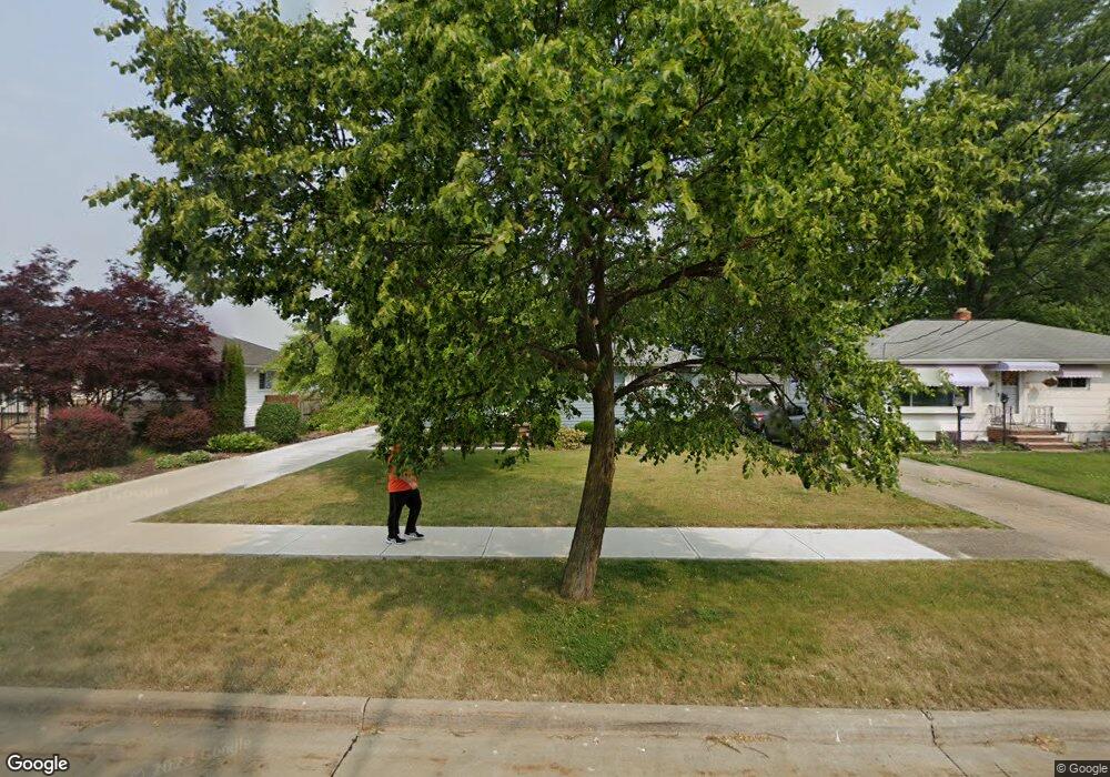
6396 Michael Dr Brookpark, OH 44142
Estimated Value: $190,000 - $216,000
3
Beds
2
Baths
988
Sq Ft
$205/Sq Ft
Est. Value
About This Home
This home is located at 6396 Michael Dr, Brookpark, OH 44142 and is currently estimated at $202,414, approximately $204 per square foot. 6396 Michael Dr is a home located in Cuyahoga County with nearby schools including Berea-Midpark Middle School, Berea-Midpark High School, and Huber Heights Preparatory Academy Parma Academy.
Ownership History
Date
Name
Owned For
Owner Type
Purchase Details
Closed on
Feb 27, 2020
Sold by
Spilker Martin F and Spilker Judith M
Bought by
Spilker Martin F and Spilker Judith M
Current Estimated Value
Purchase Details
Closed on
Jul 3, 2000
Sold by
Uhas William J
Bought by
Spilker Martin F
Home Financials for this Owner
Home Financials are based on the most recent Mortgage that was taken out on this home.
Original Mortgage
$89,000
Outstanding Balance
$29,787
Interest Rate
8.55%
Mortgage Type
Purchase Money Mortgage
Estimated Equity
$172,627
Purchase Details
Closed on
Aug 25, 1986
Sold by
Uhas William A and Uhas Mary A
Bought by
Uhas Mary A
Purchase Details
Closed on
Apr 2, 1985
Sold by
Uhas William A and Uhas Mary A
Bought by
Uhas William A and Uhas Mary A
Purchase Details
Closed on
Jan 1, 1975
Bought by
Uhas William A and Uhas Mary A
Create a Home Valuation Report for This Property
The Home Valuation Report is an in-depth analysis detailing your home's value as well as a comparison with similar homes in the area
Home Values in the Area
Average Home Value in this Area
Purchase History
| Date | Buyer | Sale Price | Title Company |
|---|---|---|---|
| Spilker Martin F | -- | None Available | |
| Spilker Martin F | $117,000 | City Title Company Agency In | |
| Uhas Mary A | -- | -- | |
| Uhas William A | -- | -- | |
| Uhas William A | -- | -- |
Source: Public Records
Mortgage History
| Date | Status | Borrower | Loan Amount |
|---|---|---|---|
| Open | Spilker Martin F | $89,000 |
Source: Public Records
Tax History
| Year | Tax Paid | Tax Assessment Tax Assessment Total Assessment is a certain percentage of the fair market value that is determined by local assessors to be the total taxable value of land and additions on the property. | Land | Improvement |
|---|---|---|---|---|
| 2025 | $2,550 | $61,005 | $13,580 | $47,425 |
| 2024 | $2,583 | $61,005 | $13,580 | $47,425 |
| 2023 | $2,371 | $48,090 | $10,220 | $37,870 |
| 2022 | $2,379 | $48,090 | $10,220 | $37,870 |
| 2021 | $2,365 | $48,090 | $10,220 | $37,870 |
| 2020 | $2,011 | $38,190 | $8,120 | $30,070 |
| 2019 | $1,951 | $109,100 | $23,200 | $85,900 |
| 2018 | $1,810 | $38,190 | $8,120 | $30,070 |
| 2017 | $1,816 | $34,160 | $7,210 | $26,950 |
| 2016 | $1,801 | $34,160 | $7,210 | $26,950 |
| 2015 | $1,690 | $34,160 | $7,210 | $26,950 |
| 2014 | $1,690 | $34,160 | $7,210 | $26,950 |
Source: Public Records
Map
Nearby Homes
- 14396 Park Dr
- 6386 Sandfield Dr
- 14801 Larkfield Dr
- 6330 Sandfield Dr
- 14761 Larkfield Dr
- 6377 Ledgebrook Dr
- 6330 Ledgebrook Dr
- 6448 Delores Blvd
- 6095 Stark Dr
- 6065 Mercer Dr
- 15496 Shaleside Ct
- 6707 Woodruff Ct
- 6103 Westbrook Dr
- 6759 Quarrystone Ln
- 6749 Rockridge Ct
- 14024 Donald Dr
- 6188 Barbara Ln
- 6771 Wood Creek Dr
- 6815 Middlebrook Blvd
- 15995 Paulding Blvd
- 6400 Michael Dr
- 6392 Michael Dr
- 6404 Michael Dr
- 6388 Michael Dr
- 14973 Lindmont Dr
- 15036 Montvale Dr
- 14995 Lindmont Dr
- 6408 Michael Dr
- 15048 Montvale Dr
- 15017 Lindmont Dr
- 6397 Michael Dr
- 6393 Michael Dr
- 6401 Michael Dr
- 6378 Michael Dr
- 6389 Michael Dr
- 6405 Michael Dr
- 15039 Lindmont Dr
- 14966 Lindmont Dr
- 6385 Michael Dr
- 15060 Montvale Dr
Your Personal Tour Guide
Ask me questions while you tour the home.