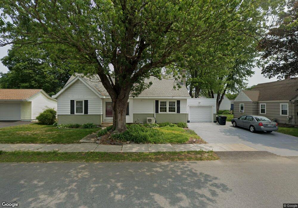
64 Almont St Unit 141 Nashua, NH 03060
South End Nashua NeighborhoodEstimated Value: $472,000 - $537,000
4
Beds
2
Baths
1,579
Sq Ft
$317/Sq Ft
Est. Value
About This Home
This home is located at 64 Almont St Unit 141, Nashua, NH 03060 and is currently estimated at $500,354, approximately $316 per square foot. 64 Almont St Unit 141 is a home located in Hillsborough County with nearby schools including Fairgrounds Elementary School, Fairgrounds Middle School, and Nashua High School South.
Ownership History
Date
Name
Owned For
Owner Type
Purchase Details
Closed on
Dec 6, 2022
Sold by
Crosby Stephen J and Crosby Gail A
Bought by
S J & Gail A Crosby Ret and Crosby
Current Estimated Value
Purchase Details
Closed on
Oct 5, 1976
Bought by
Crosby Stephen J and Crosby Gail A
Create a Home Valuation Report for This Property
The Home Valuation Report is an in-depth analysis detailing your home's value as well as a comparison with similar homes in the area
Home Values in the Area
Average Home Value in this Area
Purchase History
| Date | Buyer | Sale Price | Title Company |
|---|---|---|---|
| S J & Gail A Crosby Ret | -- | None Available | |
| Crosby Stephen J | -- | -- |
Source: Public Records
Mortgage History
| Date | Status | Borrower | Loan Amount |
|---|---|---|---|
| Previous Owner | Crosby Stephen J | $150,000 | |
| Previous Owner | Crosby Stephen J | $20,000 | |
| Previous Owner | Crosby Stephen J | $50,000 |
Source: Public Records
Tax History Compared to Growth
Tax History
| Year | Tax Paid | Tax Assessment Tax Assessment Total Assessment is a certain percentage of the fair market value that is determined by local assessors to be the total taxable value of land and additions on the property. | Land | Improvement |
|---|---|---|---|---|
| 2024 | $7,250 | $456,000 | $146,400 | $309,600 |
| 2023 | $6,811 | $373,600 | $117,100 | $256,500 |
| 2022 | $6,751 | $373,600 | $117,100 | $256,500 |
| 2021 | $5,909 | $254,500 | $78,100 | $176,400 |
| 2020 | $5,763 | $254,900 | $78,100 | $176,800 |
| 2019 | $5,547 | $254,900 | $78,100 | $176,800 |
| 2018 | $5,406 | $254,900 | $78,100 | $176,800 |
| 2017 | $4,725 | $183,200 | $67,200 | $116,000 |
| 2016 | $4,593 | $183,200 | $67,200 | $116,000 |
| 2015 | $4,494 | $183,200 | $67,200 | $116,000 |
| 2014 | $4,401 | $183,000 | $67,200 | $115,800 |
Source: Public Records
Map
Nearby Homes
- 97 Linwood St
- 63 Dexter St
- 22 Kern Dr
- 15 Lovell St Unit 3
- 15 Lovell St Unit 7
- 15 Lovell St Unit 10
- 11 Bordeaux St
- 6 Hayden St
- 17 Herrick St
- 15 Learned St Unit 123
- 22 New Dunstable Rd Unit 132133
- 169A W Hollis St Unit 193
- 22 Wilder St
- 41 New Dunstable Rd Unit 371
- 4 Badger St
- 29 Greenwood Dr
- 36 Eastman St Unit 26
- 8 Buck St Unit 10
- 2 Wakefield Dr
- 27 Fifield St Unit 13
- 58 Almont St Unit 137
- 66 Almont St Unit 303
- 16 Cleveland St Unit 136
- 61 Almont St
- 111 Monroe St Unit 309
- 63 Almont St
- 68 Almont St
- 117 Monroe St
- 69 Almont St Unit 36
- 119 Monroe St
- 72 Almont St
- 112 Monroe St
- 56 Almont St Unit 133
- 6 Cleveland St
- 116 Monroe St Unit 169
- 15 Cleveland St Unit 17
- 108 Monroe St Unit 110
- 55 Almont St Unit 30
- 3 Wilson St Unit 311
- 73 Almont St Unit 38