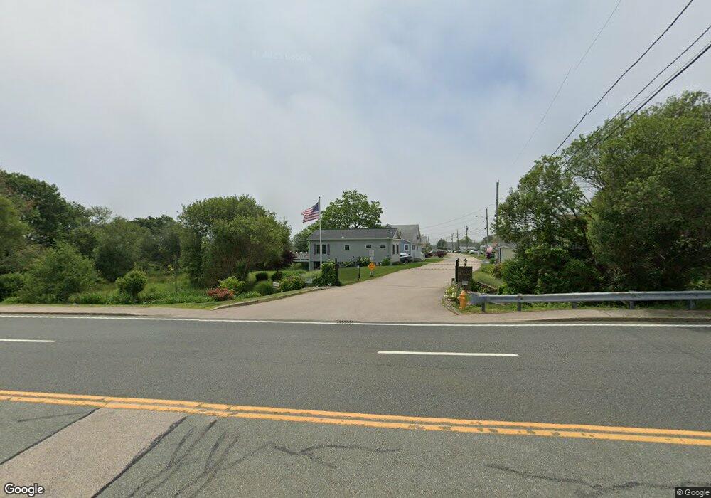
64 Burnside Ave Narragansett, RI 02882
1
Bed
1
Bath
316
Sq Ft
11.53
Acres
About This Home
This home is located at 64 Burnside Ave, Narragansett, RI 02882. 64 Burnside Ave is a home located in Washington County with nearby schools including Narragansett Elementary School, Narragansett Pier Middle School, and Narragansett High School.
Ownership History
Date
Name
Owned For
Owner Type
Purchase Details
Closed on
Apr 26, 2011
Sold by
Descoteaux Ernest A
Bought by
Descoteaux Ft and Descoteaux
Purchase Details
Closed on
Mar 10, 2011
Sold by
Russon Ronald J
Bought by
Knowles Camp Inc
Purchase Details
Closed on
Jun 11, 1993
Sold by
Lamontagne Doris
Bought by
Bouvier David and Bouvier Kate
Create a Home Valuation Report for This Property
The Home Valuation Report is an in-depth analysis detailing your home's value as well as a comparison with similar homes in the area
Home Values in the Area
Average Home Value in this Area
Purchase History
| Date | Buyer | Sale Price | Title Company |
|---|---|---|---|
| Descoteaux Ft | -- | -- | |
| Descoteaux Ft | -- | -- | |
| Knowles Camp Inc | -- | -- | |
| Knowles Camp Inc | -- | -- | |
| Bouvier David | $19,000 | -- | |
| Bouvier David | $19,000 | -- |
Source: Public Records
Tax History Compared to Growth
Tax History
| Year | Tax Paid | Tax Assessment Tax Assessment Total Assessment is a certain percentage of the fair market value that is determined by local assessors to be the total taxable value of land and additions on the property. | Land | Improvement |
|---|---|---|---|---|
| 2025 | $43,753 | $4,771,300 | $4,767,300 | $4,000 |
| 2024 | $42,178 | $4,771,300 | $4,767,300 | $4,000 |
| 2023 | $53,161 | $4,229,200 | $4,226,400 | $2,800 |
| 2022 | $51,342 | $4,229,200 | $4,226,400 | $2,800 |
| 2021 | $50,581 | $4,229,200 | $4,226,400 | $2,800 |
| 2020 | $57,334 | $4,051,900 | $4,049,100 | $2,800 |
| 2019 | $58,064 | $4,051,900 | $4,049,100 | $2,800 |
| 2018 | $56,443 | $4,051,900 | $4,049,100 | $2,800 |
| 2017 | $63,062 | $3,981,200 | $3,978,100 | $3,100 |
| 2016 | $60,196 | $3,981,200 | $3,978,100 | $3,100 |
| 2015 | $59,360 | $3,981,200 | $3,978,100 | $3,100 |
| 2014 | $58,826 | $3,906,100 | $3,903,000 | $3,100 |
Source: Public Records
Map
Nearby Homes
- 64 Burnside Ave
- 18 Greenbrier Rd
- 2 Bristol Rd
- 27 Foster Ln
- 8 Knowlesway
- 3 Fox Dr
- 41 Fox Dr
- 660 Point Judith Rd Unit D2
- 45 Durkin Dr
- 1044 Ocean Rd
- 1046 Ocean Rd
- 576 Point Judith Rd
- 31 E Pond Rd
- 8 Pocono Rd
- 0 Point Judith Rd
- 17 Goose Island Rd
- 0 Houston Ave
- 20 Marine Dr
- 0 Hemlock Ave
- 1125 Point Judith Rd Unit B6