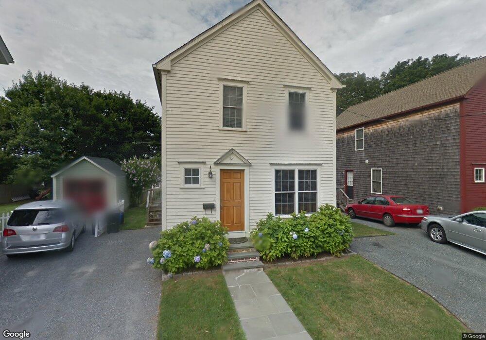
64 Burnside Ave Newport, RI 02840
Estimated Value: $878,000 - $1,213,000
2
Beds
1
Bath
1,512
Sq Ft
$676/Sq Ft
Est. Value
About This Home
This home is located at 64 Burnside Ave, Newport, RI 02840 and is currently estimated at $1,022,503, approximately $676 per square foot. 64 Burnside Ave is a home located in Newport County with nearby schools including Rogers High School, St Michael's Country Day School, and St George's School.
Ownership History
Date
Name
Owned For
Owner Type
Purchase Details
Closed on
Feb 22, 2023
Sold by
Callahan Thomas P and Callahan Faith C
Bought by
Callahan Fret and Callahan C
Current Estimated Value
Create a Home Valuation Report for This Property
The Home Valuation Report is an in-depth analysis detailing your home's value as well as a comparison with similar homes in the area
Home Values in the Area
Average Home Value in this Area
Purchase History
| Date | Buyer | Sale Price | Title Company |
|---|---|---|---|
| Callahan Fret | -- | None Available |
Source: Public Records
Tax History Compared to Growth
Tax History
| Year | Tax Paid | Tax Assessment Tax Assessment Total Assessment is a certain percentage of the fair market value that is determined by local assessors to be the total taxable value of land and additions on the property. | Land | Improvement |
|---|---|---|---|---|
| 2025 | $5,497 | $765,600 | $184,100 | $581,500 |
| 2024 | $5,336 | $765,600 | $184,100 | $581,500 |
| 2023 | $5,088 | $512,900 | $119,400 | $393,500 |
| 2022 | $4,929 | $512,900 | $119,400 | $393,500 |
| 2021 | $4,785 | $512,900 | $119,400 | $393,500 |
| 2020 | $4,285 | $416,800 | $97,700 | $319,100 |
| 2019 | $4,285 | $416,800 | $97,700 | $319,100 |
| 2018 | $4,164 | $416,800 | $97,700 | $319,100 |
| 2017 | $4,355 | $388,500 | $75,100 | $313,400 |
| 2016 | $4,246 | $388,500 | $75,100 | $313,400 |
| 2015 | $4,145 | $388,500 | $75,100 | $313,400 |
| 2014 | $4,626 | $383,600 | $67,200 | $316,400 |
Source: Public Records
Map
Nearby Homes
- 5 Bowser Ct
- 44 Warner St
- 53 Warner St
- 31 Coddington St Unit 24
- 102 Broadway Unit 2B
- 27 Soar Way
- 3 Vicksburg Place
- 43 Poplar St
- 11 Willow St Unit 5
- 44 Third St
- 51 Poplar St Unit 2
- 23 Mann Ave Unit 4
- 6 Sunshine Ct
- 35 Second St
- 23 Willow St
- 10 Barney St Unit 102
- 10 Barney St Unit 107
- 10 Barney St Unit 101
- 10 Barney St Unit U106
- 4 Newport Ave Unit B2
- 68 Burnside Ave
- 60 Burnside Ave
- 69 Tilden Ave
- 71 Tilden Ave
- 75 Tilden Ave
- 70 Burnside Ave
- 56 Burnside Ave
- 65 Burnside Ave
- 65 Burnside Ave Unit 2
- 65 Tilden Ave
- 63 Burnside Ave
- 78 Burnside Ave
- 79 Tilden Ave Unit 1S
- 79 Tilden Ave Unit 1N
- 79 Tilden Ave Unit 2S
- 79 Tilden Ave
- 73 Burnside Ave
- 0 Burnside Ave
- 59 Burnside Ave
- 49 Burnside Ave