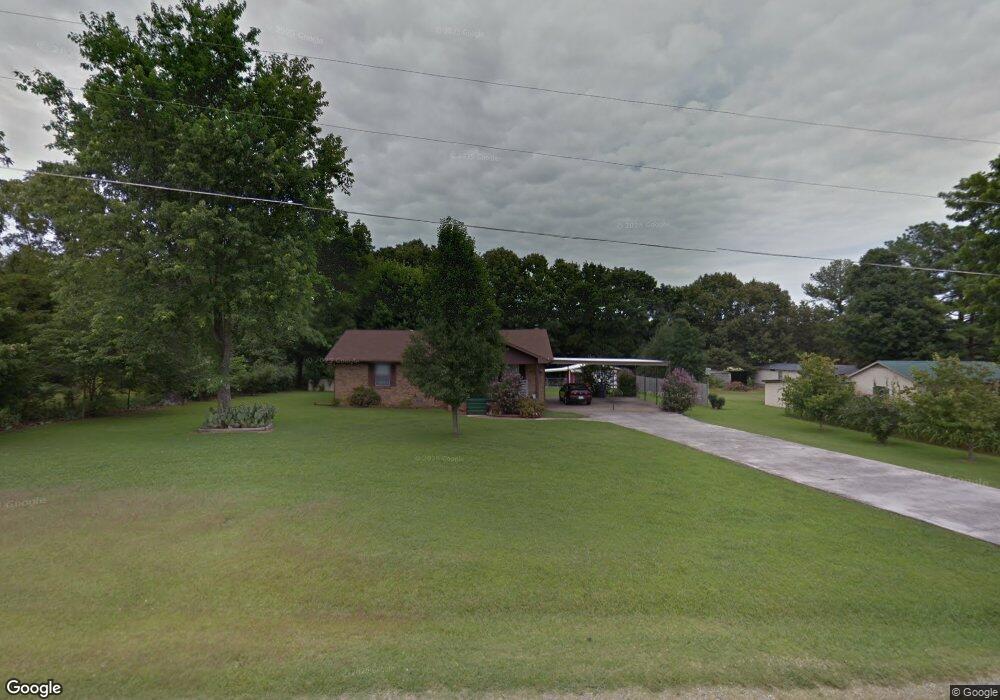
64 Freeman Sherrill Rd Manchester, TN 37355
Estimated Value: $186,477 - $270,000
--
Bed
1
Bath
1,305
Sq Ft
$172/Sq Ft
Est. Value
About This Home
This home is located at 64 Freeman Sherrill Rd, Manchester, TN 37355 and is currently estimated at $224,869, approximately $172 per square foot. 64 Freeman Sherrill Rd is a home located in Coffee County with nearby schools including East Coffee Elementary School, Coffee County Middle School, and Coffee County Central High School.
Ownership History
Date
Name
Owned For
Owner Type
Purchase Details
Closed on
Jul 15, 2016
Sold by
Harrell Bernice Clark Esta
Bought by
Tobitt Lauren M
Current Estimated Value
Home Financials for this Owner
Home Financials are based on the most recent Mortgage that was taken out on this home.
Original Mortgage
$81,748
Outstanding Balance
$65,175
Interest Rate
3.54%
Mortgage Type
New Conventional
Estimated Equity
$159,694
Purchase Details
Closed on
Jan 2, 1984
Bought by
Harrell Buford and Harrell Bernice
Create a Home Valuation Report for This Property
The Home Valuation Report is an in-depth analysis detailing your home's value as well as a comparison with similar homes in the area
Home Values in the Area
Average Home Value in this Area
Purchase History
| Date | Buyer | Sale Price | Title Company |
|---|---|---|---|
| Tobitt Lauren M | $79,500 | -- | |
| Harrell Buford | $38,000 | -- |
Source: Public Records
Mortgage History
| Date | Status | Borrower | Loan Amount |
|---|---|---|---|
| Open | Tobitt Lauren M | $81,748 |
Source: Public Records
Tax History Compared to Growth
Tax History
| Year | Tax Paid | Tax Assessment Tax Assessment Total Assessment is a certain percentage of the fair market value that is determined by local assessors to be the total taxable value of land and additions on the property. | Land | Improvement |
|---|---|---|---|---|
| 2024 | $690 | $29,600 | $3,250 | $26,350 |
| 2023 | $690 | $29,600 | $0 | $0 |
| 2022 | $690 | $29,600 | $3,250 | $26,350 |
| 2021 | $660 | $22,500 | $2,500 | $20,000 |
| 2020 | $660 | $22,500 | $2,500 | $20,000 |
| 2019 | $660 | $22,500 | $2,500 | $20,000 |
| 2018 | $660 | $22,500 | $2,500 | $20,000 |
| 2017 | $665 | $20,375 | $2,500 | $17,875 |
| 2016 | $580 | $20,375 | $2,500 | $17,875 |
| 2015 | $580 | $17,775 | $2,500 | $15,275 |
| 2014 | $580 | $17,771 | $0 | $0 |
Source: Public Records
Map
Nearby Homes
- 676 Riddle Rd
- 166 Keele Rd
- 304 W Lynn Dr
- 216 Stonehenge Cir
- 133 Stonehenge Cir
- 153 Stonehenge Cir
- 58 Stonehenge Ln
- 97 Stonehenge Ln
- 499 Ridgewood Dr
- 67 Stonehenge Ln
- 49 Stonehenge
- 215 Wellington Dr
- 31 Stonehenge Ln
- 76 Stonehenge Ln N
- 31 Stonehenge Ln S
- 19 Stonehenge
- 110 Phillips Dr
- 143 Stonehenge Cir
- 54 Stonehenge Ln E
- 100 Phillips Dr
- 658 Keele Rd
- 25 Leslie Jamie Rd
- 69 Freeman Sherrill Rd
- 75 Leslie Jamie Rd
- 53 Freeman Sherrill Rd
- 89 Freeman Sherrill Rd
- 134 Freeman Sherrill Rd
- 105 Freeman Sherrill Rd
- 27 Freeman Sherrill Rd
- 99 Leslie Jamie Rd
- 145 Freeman Sherrill Rd
- 141 Leslie Jamie Rd
- 165 Freeman Sherrill Rd
- 536 Keele Rd
- 184 Freeman Sherrill Rd
- 130 Leslie Jamie Rd
- 165 Leslie Jamie Rd
- 760 Keele Rd
- 203 Freeman Sherrill Rd
- 160 Leslie Jamie Rd