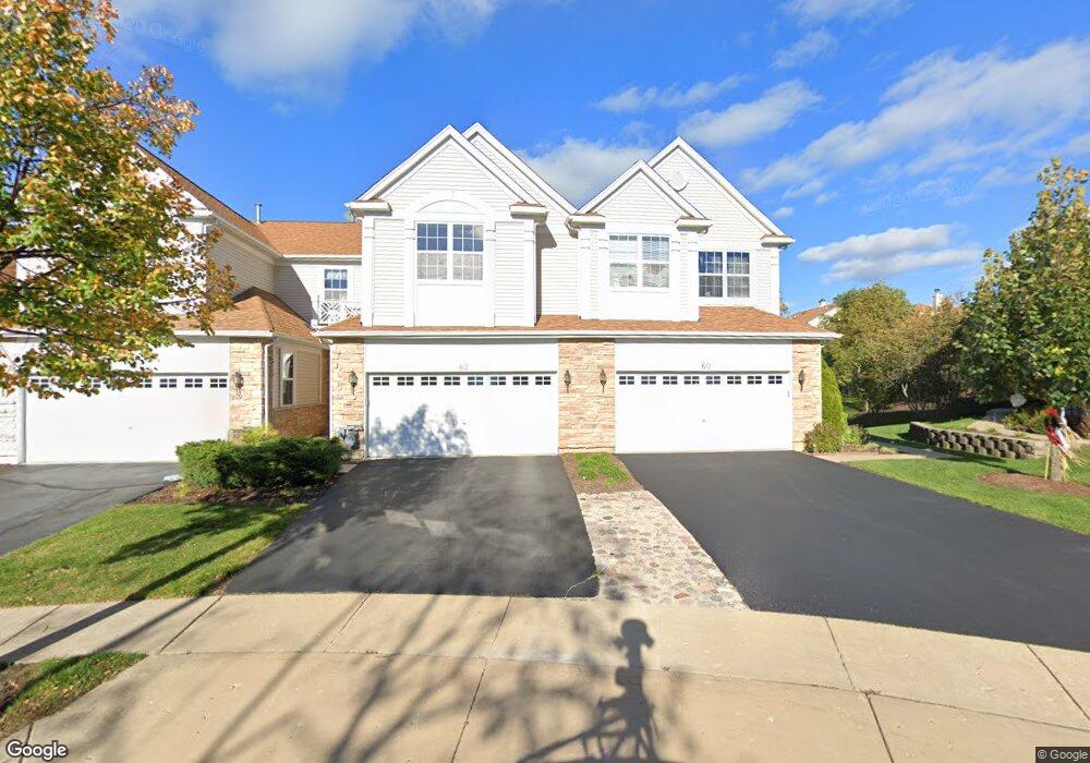
64 Kelsey Ct Algonquin, IL 60102
Far West Algonquin NeighborhoodEstimated Value: $353,000 - $356,000
3
Beds
3
Baths
1,733
Sq Ft
$205/Sq Ft
Est. Value
About This Home
This home is located at 64 Kelsey Ct, Algonquin, IL 60102 and is currently estimated at $354,643, approximately $204 per square foot. 64 Kelsey Ct is a home located in McHenry County with nearby schools including Westfield Community School, Lincoln Prairie Elementary School, and Harry D Jacobs High School.
Ownership History
Date
Name
Owned For
Owner Type
Purchase Details
Closed on
Sep 23, 2004
Sold by
Drh Cambridge Homes Inc
Bought by
Lauritzen Jeffrey W and Lauritzen Mary Beth
Current Estimated Value
Home Financials for this Owner
Home Financials are based on the most recent Mortgage that was taken out on this home.
Original Mortgage
$175,000
Outstanding Balance
$47,757
Interest Rate
5.93%
Mortgage Type
Stand Alone First
Estimated Equity
$306,886
Create a Home Valuation Report for This Property
The Home Valuation Report is an in-depth analysis detailing your home's value as well as a comparison with similar homes in the area
Home Values in the Area
Average Home Value in this Area
Purchase History
| Date | Buyer | Sale Price | Title Company |
|---|---|---|---|
| Lauritzen Jeffrey W | $255,070 | First American Title |
Source: Public Records
Mortgage History
| Date | Status | Borrower | Loan Amount |
|---|---|---|---|
| Open | Lauritzen Jeffrey W | $175,000 | |
| Closed | Lauritzen Jeffrey W | $29,000 |
Source: Public Records
Tax History
| Year | Tax Paid | Tax Assessment Tax Assessment Total Assessment is a certain percentage of the fair market value that is determined by local assessors to be the total taxable value of land and additions on the property. | Land | Improvement |
|---|---|---|---|---|
| 2024 | $6,455 | $98,511 | $18,583 | $79,928 |
| 2023 | $6,036 | $88,106 | $16,620 | $71,486 |
| 2022 | $5,535 | $81,090 | $14,925 | $66,165 |
| 2021 | $6,171 | $75,545 | $13,904 | $61,641 |
| 2020 | $6,005 | $72,871 | $13,412 | $59,459 |
| 2019 | $5,853 | $69,746 | $12,837 | $56,909 |
| 2018 | $5,569 | $64,431 | $11,859 | $52,572 |
| 2017 | $5,447 | $60,698 | $11,172 | $49,526 |
| 2016 | $5,356 | $56,929 | $10,478 | $46,451 |
| 2013 | -- | $63,986 | $9,774 | $54,212 |
Source: Public Records
Map
Nearby Homes
- 601 Woods Creek Ln
- 16 Springbrook Ln
- 432 Thunder Ridge
- 3260 Nottingham Dr
- 305 Harvest Gate
- 4 Greenbrier Ct
- 74 Harvest Gate
- 101 Oakleaf Rd
- 2380 Dawson Ln Unit 165
- 2660 Harnish Dr
- 531 Alpine Dr
- 4241 Wanderlust Dr
- 113 Pheasant Trail
- 3610 Lakeview Dr
- 145 S Oakleaf Rd
- 14 Wander Way
- 1920 Jester Ln
- 940 Treeline Dr
- 1157 Sawmill Ln
- 895 Eineke Blvd
Your Personal Tour Guide
Ask me questions while you tour the home.