64 Laurel St Gloucester, MA 01930
West Gloucester NeighborhoodEstimated Value: $729,000 - $784,000
3
Beds
3
Baths
1,960
Sq Ft
$383/Sq Ft
Est. Value
About This Home
This home is located at 64 Laurel St, Gloucester, MA 01930 and is currently estimated at $751,344, approximately $383 per square foot. 64 Laurel St is a home located in Essex County with nearby schools including West Parish, Ralph B O'maley Middle School, and Gloucester High School.
Ownership History
Date
Name
Owned For
Owner Type
Purchase Details
Closed on
Nov 9, 2007
Sold by
Lucido John S
Bought by
Parisi Nikki R
Current Estimated Value
Purchase Details
Closed on
Aug 30, 2000
Sold by
Cape Ann Sb
Bought by
Lucido John S and Lucido Nikki R
Home Financials for this Owner
Home Financials are based on the most recent Mortgage that was taken out on this home.
Original Mortgage
$150,000
Interest Rate
7.88%
Create a Home Valuation Report for This Property
The Home Valuation Report is an in-depth analysis detailing your home's value as well as a comparison with similar homes in the area
Home Values in the Area
Average Home Value in this Area
Purchase History
| Date | Buyer | Sale Price | Title Company |
|---|---|---|---|
| Parisi Nikki R | -- | -- | |
| Lucido John S | $75,000 | -- |
Source: Public Records
Mortgage History
| Date | Status | Borrower | Loan Amount |
|---|---|---|---|
| Open | Lucido John S | $50,000 | |
| Previous Owner | Lucido John S | $20,000 | |
| Previous Owner | Lucido John S | $145,500 | |
| Previous Owner | Lucido John S | $150,000 |
Source: Public Records
Tax History
| Year | Tax Paid | Tax Assessment Tax Assessment Total Assessment is a certain percentage of the fair market value that is determined by local assessors to be the total taxable value of land and additions on the property. | Land | Improvement |
|---|---|---|---|---|
| 2025 | $6,479 | $666,600 | $220,000 | $446,600 |
| 2024 | $6,624 | $680,800 | $209,500 | $471,300 |
| 2023 | $6,428 | $607,000 | $187,100 | $419,900 |
| 2022 | $5,816 | $495,800 | $162,600 | $333,200 |
| 2021 | $5,877 | $472,400 | $147,900 | $324,500 |
| 2020 | $5,719 | $463,800 | $147,900 | $315,900 |
| 2019 | $5,694 | $448,700 | $147,900 | $300,800 |
| 2018 | $5,590 | $432,300 | $147,900 | $284,400 |
| 2017 | $5,364 | $406,700 | $140,800 | $265,900 |
| 2016 | $5,331 | $391,700 | $146,900 | $244,800 |
| 2015 | $5,091 | $373,000 | $146,900 | $226,100 |
Source: Public Records
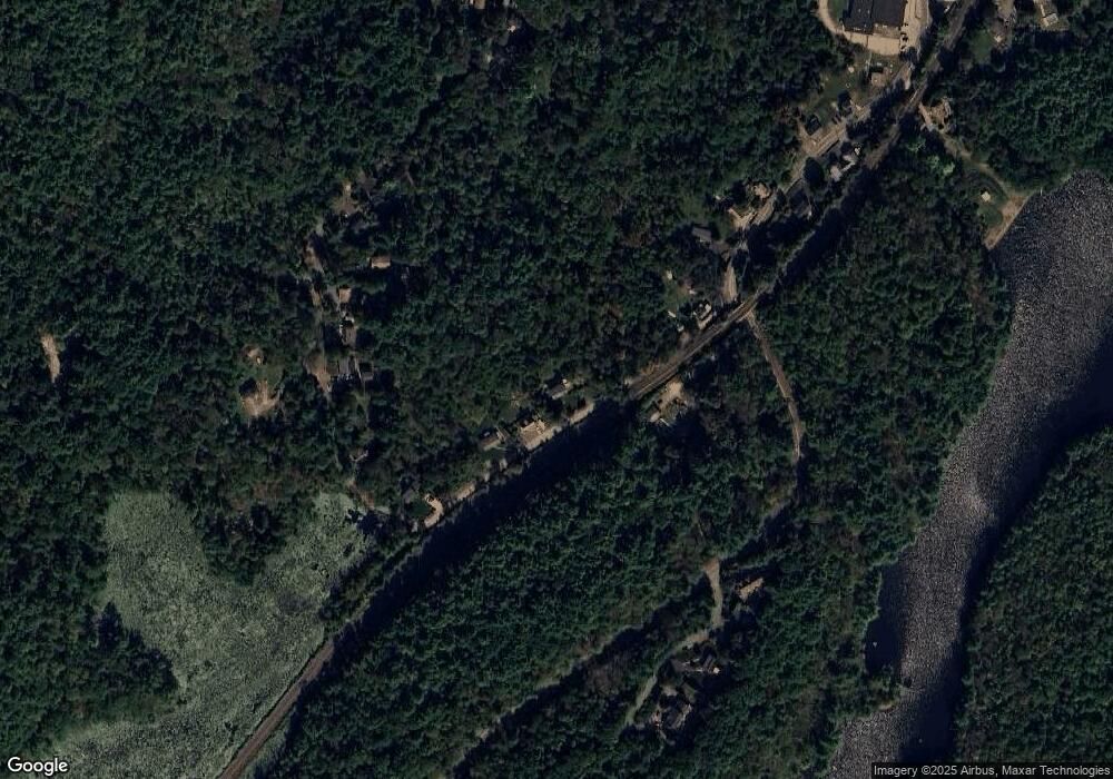
Map
Nearby Homes
- 368 Essex Ave
- 18 Lyndale Ave
- 5 Samoset Rd Unit B
- 5 Lepage Ln
- 24 Cobblestone Ln Unit 603
- 145 Essex Ave Unit 402
- 5 Marshfield St
- 587 Essex Ave
- 13 Leslie o Johnson Rd
- 450 Summer St
- 15 Harvard St
- 468 Summer St
- 53 Raymond St
- 2 Ocean Ave Unit 2K
- 3 Rockland St
- 24 Flume Rd
- 7 Leaman Dr
- 20 Beacon St
- 20 Beacon St Unit 2
- 20 Beacon St Unit 1
Your Personal Tour Guide
Ask me questions while you tour the home.