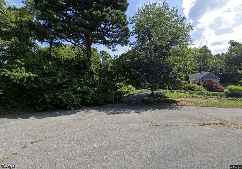
64 Linda Cir Brewster, MA 02631
Estimated Value: $403,000 - $520,000
2
Beds
2
Baths
1,348
Sq Ft
$339/Sq Ft
Est. Value
About This Home
This home is located at 64 Linda Cir, Brewster, MA 02631 and is currently estimated at $457,140, approximately $339 per square foot. 64 Linda Cir is a home located in Barnstable County with nearby schools including Stony Brook Elementary School, Eddy Elementary School, and Nauset Regional Middle School.
Ownership History
Date
Name
Owned For
Owner Type
Purchase Details
Closed on
Jan 24, 2021
Sold by
Harring Ardith K Est and Down
Bought by
Ardith K Harring T K and Ardith Hampson
Current Estimated Value
Purchase Details
Closed on
Jan 5, 2005
Sold by
Katko Stephen A
Bought by
S A Katko Lt and Katko
Purchase Details
Closed on
Nov 18, 2004
Sold by
Zurakowski Paul R and Zurakowski Suzanne T
Bought by
Arboit Mary Ann and Arboit Thomas M
Purchase Details
Closed on
Oct 1, 2004
Sold by
Clarke Eunice M
Bought by
Katko Stephen A
Create a Home Valuation Report for This Property
The Home Valuation Report is an in-depth analysis detailing your home's value as well as a comparison with similar homes in the area
Home Values in the Area
Average Home Value in this Area
Purchase History
| Date | Buyer | Sale Price | Title Company |
|---|---|---|---|
| Ardith K Harring T K | -- | None Available | |
| S A Katko Lt | -- | -- | |
| Arboit Mary Ann | $2,000 | -- | |
| Katko Stephen A | $9,800 | -- |
Source: Public Records
Tax History Compared to Growth
Tax History
| Year | Tax Paid | Tax Assessment Tax Assessment Total Assessment is a certain percentage of the fair market value that is determined by local assessors to be the total taxable value of land and additions on the property. | Land | Improvement |
|---|---|---|---|---|
| 2025 | $2,431 | $353,300 | $0 | $353,300 |
| 2024 | $2,273 | $333,800 | $0 | $333,800 |
| 2023 | $2,114 | $302,500 | $0 | $302,500 |
| 2022 | $1,915 | $243,900 | $0 | $243,900 |
| 2021 | $1,909 | $222,500 | $0 | $222,500 |
| 2020 | $1,886 | $218,800 | $0 | $218,800 |
| 2019 | $1,827 | $212,900 | $0 | $212,900 |
| 2018 | $1,678 | $203,200 | $0 | $203,200 |
| 2017 | $1,615 | $192,500 | $0 | $192,500 |
| 2016 | $1,593 | $189,000 | $0 | $189,000 |
| 2015 | $1,524 | $184,500 | $0 | $184,500 |
Source: Public Records
Map
Nearby Homes
- 81 Fletcher Ln Unit I
- 81 Fletcher Ln Unit C
- 60 Fletcher Ln Unit H
- 60 Fletcher Ln Unit C
- 61 Fletcher Ln Unit H
- 62 Fletcher Ln Unit N
- 80 Fletcher Ln Unit E
- 100 Fletcher Ln Unit E
- 82 Fletcher Ln Unit I
- 277 Lund Farm Way
- 105 Middlecott Ln Unit 105
- 104 Howland Cir Unit 104
- 82 Middlecott Ln
- 38 Eaton Ln Unit 38
- 137 Eaton Ln
- 28 Middlecott Ln
- 88 Eaton Ln Unit 88
- 144 Eaton Ln
- 150 Eaton Ln