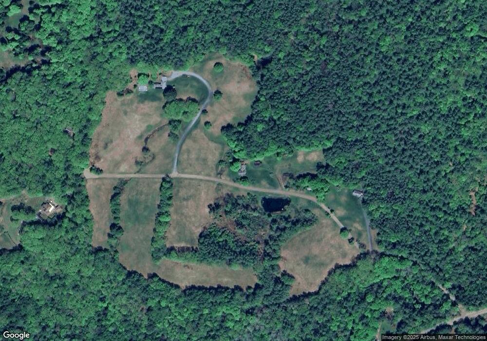
64 Littell Rd Cornish, NH 03745
Cornish Colony NeighborhoodEstimated Value: $531,000 - $743,485
4
Beds
2
Baths
2,695
Sq Ft
$232/Sq Ft
Est. Value
About This Home
This home is located at 64 Littell Rd, Cornish, NH 03745 and is currently estimated at $625,371, approximately $232 per square foot. 64 Littell Rd is a home with nearby schools including Cornish Elementary School and Foundations Upper Valley.
Create a Home Valuation Report for This Property
The Home Valuation Report is an in-depth analysis detailing your home's value as well as a comparison with similar homes in the area
Home Values in the Area
Average Home Value in this Area
Tax History
| Year | Tax Paid | Tax Assessment Tax Assessment Total Assessment is a certain percentage of the fair market value that is determined by local assessors to be the total taxable value of land and additions on the property. | Land | Improvement |
|---|---|---|---|---|
| 2025 | $9,576 | $553,533 | $277,633 | $275,900 |
| 2024 | $8,954 | $553,064 | $277,164 | $275,900 |
| 2023 | $8,838 | $336,928 | $158,428 | $178,500 |
| 2022 | $7,995 | $337,761 | $159,161 | $178,600 |
| 2021 | $7,687 | $338,487 | $159,887 | $178,600 |
| 2020 | $7,206 | $338,481 | $159,881 | $178,600 |
| 2019 | $6,605 | $338,383 | $159,783 | $178,600 |
| 2018 | $7,203 | $327,562 | $162,562 | $165,000 |
| 2017 | $7,044 | $327,324 | $162,324 | $165,000 |
| 2016 | $7,002 | $327,214 | $162,214 | $165,000 |
| 2015 | $7,516 | $326,927 | $161,927 | $165,000 |
| 2014 | $7,428 | $326,950 | $176,950 | $150,000 |
| 2013 | $7,632 | $363,955 | $202,155 | $161,800 |
Source: Public Records
Map
Nearby Homes
- 19 Spruce Park Dr
- 223 Taylor Dr
- 273 Route 5 N
- 64 State St
- 763 Center Rd
- 00 New Hampshire 12a Unit 7
- 74 Union St
- 528 Town House Rd
- 3 Cherry St
- 846 Route 12a
- 579 Town House Rd
- 30 Vermont Route 12
- 00 Tandy Brook Rd Unit 12
- 00 Barber Ln
- 14 Summarsell Dr Unit 16
- 89 Route 12
- 56 Mount Hunger Rd
- 5 Brownsville Rd
- 11 Cubb Ct
- 23 Cubb Ct
Your Personal Tour Guide
Ask me questions while you tour the home.