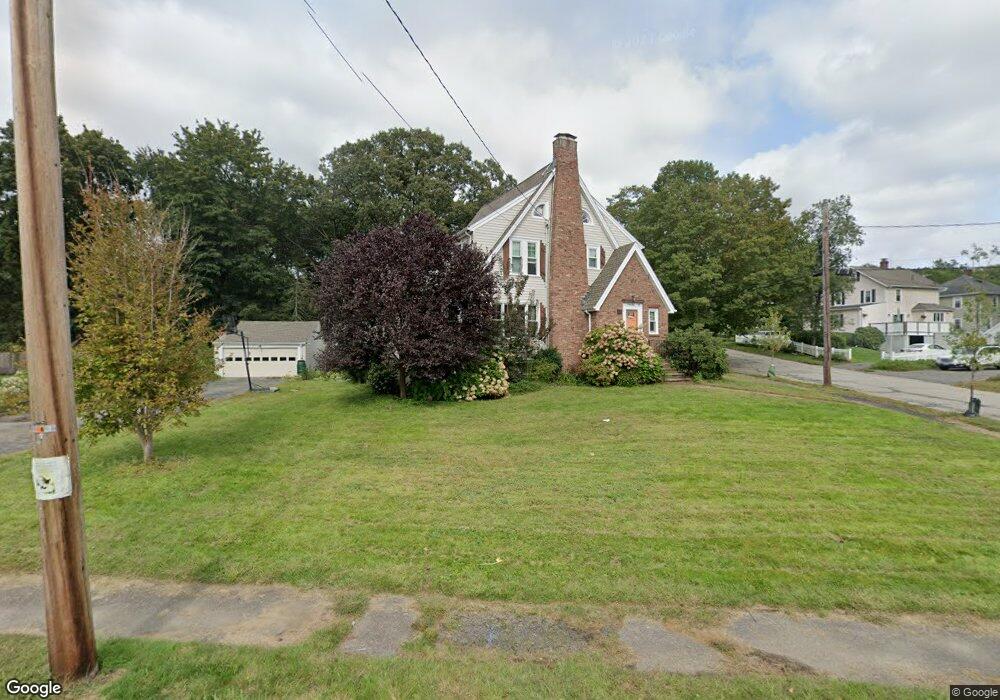
64 Lorimer Rd Belmont, MA 02478
Belmont Hill NeighborhoodEstimated Value: $1,222,000 - $2,179,000
4
Beds
4
Baths
2,100
Sq Ft
$848/Sq Ft
Est. Value
About This Home
This home is located at 64 Lorimer Rd, Belmont, MA 02478 and is currently estimated at $1,780,845, approximately $848 per square foot. 64 Lorimer Rd is a home located in Middlesex County with nearby schools including Roger Wellington Elementary School, Winthrop L Chenery Middle School, and Belmont High School.
Ownership History
Date
Name
Owned For
Owner Type
Purchase Details
Closed on
Dec 17, 2010
Sold by
Slusher Jason and Slusher Karen L
Bought by
Etkind Michael
Current Estimated Value
Home Financials for this Owner
Home Financials are based on the most recent Mortgage that was taken out on this home.
Original Mortgage
$417,000
Outstanding Balance
$275,644
Interest Rate
4.23%
Mortgage Type
Purchase Money Mortgage
Estimated Equity
$1,505,201
Purchase Details
Closed on
Jan 31, 2006
Sold by
Surabian Mary S
Bought by
Slusher Jason A
Home Financials for this Owner
Home Financials are based on the most recent Mortgage that was taken out on this home.
Original Mortgage
$400,000
Interest Rate
6.34%
Mortgage Type
Purchase Money Mortgage
Create a Home Valuation Report for This Property
The Home Valuation Report is an in-depth analysis detailing your home's value as well as a comparison with similar homes in the area
Home Values in the Area
Average Home Value in this Area
Purchase History
| Date | Buyer | Sale Price | Title Company |
|---|---|---|---|
| Etkind Michael | $676,000 | -- | |
| Slusher Jason A | $612,500 | -- |
Source: Public Records
Mortgage History
| Date | Status | Borrower | Loan Amount |
|---|---|---|---|
| Open | Etkind Michael | $417,000 | |
| Previous Owner | Slusher Jason A | $400,000 |
Source: Public Records
Tax History Compared to Growth
Tax History
| Year | Tax Paid | Tax Assessment Tax Assessment Total Assessment is a certain percentage of the fair market value that is determined by local assessors to be the total taxable value of land and additions on the property. | Land | Improvement |
|---|---|---|---|---|
| 2025 | $22,598 | $1,984,000 | $830,000 | $1,154,000 |
| 2024 | $19,240 | $1,822,000 | $891,000 | $931,000 |
| 2023 | $18,906 | $1,682,000 | $841,000 | $841,000 |
| 2022 | $16,860 | $1,549,000 | $769,000 | $780,000 |
| 2021 | $16,860 | $1,461,000 | $737,000 | $724,000 |
| 2020 | $16,577 | $1,507,000 | $779,000 | $728,000 |
| 2019 | $4,470 | $1,307,000 | $604,000 | $703,000 |
| 2018 | $14,373 | $1,183,000 | $491,000 | $692,000 |
| 2017 | $12,474 | $983,000 | $398,000 | $585,000 |
| 2016 | $9,809 | $781,000 | $398,000 | $383,000 |
| 2015 | $8,759 | $679,000 | $331,000 | $348,000 |
Source: Public Records
Map
Nearby Homes
- 9 Stanley Rd
- 14 Mallard Way
- 38 Van Vechten St
- 51 S Cottage Rd Unit 112
- 5 Meadows Ln Unit 105
- 100 Shirley Rd
- 26 Brookfield Rd
- 34 Woodbine Rd
- 135 Marsh St
- 25 Moraine St Unit 25
- 53 Crestview Rd
- 23 Centre Ave
- 560 Concord Ave
- 26 Centre Ave
- 77 Wellesley Rd
- 160 Waverley St
- 70A Thomas St
- 15 Ash St
- 220 Sycamore St
- 1 Bridgham Ave