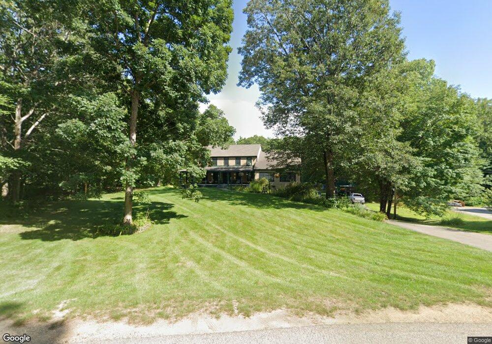
64 Lynette Ln Fremont, NH 03044
Estimated Value: $703,000 - $728,000
3
Beds
2
Baths
2,724
Sq Ft
$263/Sq Ft
Est. Value
About This Home
This home is located at 64 Lynette Ln, Fremont, NH 03044 and is currently estimated at $717,481, approximately $263 per square foot. 64 Lynette Ln is a home located in Rockingham County with nearby schools including Ellis School.
Ownership History
Date
Name
Owned For
Owner Type
Purchase Details
Closed on
Jan 27, 1999
Sold by
Gould & Kelley Bldrs L
Bought by
Begley Peter T and Begley Lisa R
Current Estimated Value
Home Financials for this Owner
Home Financials are based on the most recent Mortgage that was taken out on this home.
Original Mortgage
$163,050
Interest Rate
6.67%
Create a Home Valuation Report for This Property
The Home Valuation Report is an in-depth analysis detailing your home's value as well as a comparison with similar homes in the area
Home Values in the Area
Average Home Value in this Area
Purchase History
| Date | Buyer | Sale Price | Title Company |
|---|---|---|---|
| Begley Peter T | $159,900 | -- |
Source: Public Records
Mortgage History
| Date | Status | Borrower | Loan Amount |
|---|---|---|---|
| Open | Begley Peter T | $20,000 | |
| Open | Begley Peter T | $192,000 | |
| Closed | Begley Peter T | $30,000 | |
| Closed | Begley Peter T | $163,050 |
Source: Public Records
Tax History Compared to Growth
Tax History
| Year | Tax Paid | Tax Assessment Tax Assessment Total Assessment is a certain percentage of the fair market value that is determined by local assessors to be the total taxable value of land and additions on the property. | Land | Improvement |
|---|---|---|---|---|
| 2024 | $10,266 | $389,300 | $120,200 | $269,100 |
| 2023 | $9,184 | $389,300 | $120,200 | $269,100 |
| 2022 | $9,028 | $389,300 | $120,200 | $269,100 |
| 2021 | $8,689 | $389,300 | $120,200 | $269,100 |
| 2020 | $9,051 | $391,300 | $120,200 | $271,100 |
| 2019 | $7,332 | $275,800 | $89,600 | $186,200 |
| 2018 | $7,982 | $271,500 | $89,600 | $181,900 |
| 2017 | $7,300 | $290,600 | $89,600 | $201,000 |
| 2016 | $7,300 | $244,300 | $89,600 | $154,700 |
| 2015 | $7,085 | $244,300 | $89,600 | $154,700 |
| 2014 | $7,032 | $249,200 | $85,400 | $163,800 |
| 2013 | $7,105 | $249,200 | $85,400 | $163,800 |
Source: Public Records
Map
Nearby Homes
- 28 Leavitt Rd
- 38 Bluefish Dr
- 266 Route 125
- 1 Annika Lee Dr Unit B
- 62 Lyford Ln
- 454 Main St
- 564 Main St
- 98 Copp Dr
- 164 Hall Rd
- 8 Taylor Cir Unit 12
- 308 Main St
- 40 Depot Rd
- 60 Copp Dr
- The Laurel Plan at Pleasant View Farm
- The Ridgemont Plan at Pleasant View Farm
- The Leyland Plan at Pleasant View Farm
- The Rosewood Plan at Pleasant View Farm
- 9 Byrne Cir Unit 65
- 11 Walker Rd Unit 11B
- 3 Walker Rd Unit 3A
- 66 Lynette Ln
- 52 Lynette Ln
- 55 Lynette Ln
- 50 Lynette Ln
- 70 Lynette Ln
- 76 Lynette Ln
- 33 Lynette Ln
- 38 Lynette Ln
- 80 Lynette Ln
- 113 Old Ridge Rd
- 49 Risloves Way Unit 50-2
- 47 Risloves Way Unit 47
- 26 Lynette Ln
- 145 Gristmill Rd
- 92 Lynette Ln
- 135 Old Ridge Rd
- 16 Lynette Ln
- 2-1 Risloves Way
- 2-1 Risloves Way
- 2-1 Risloves Way Unit 2