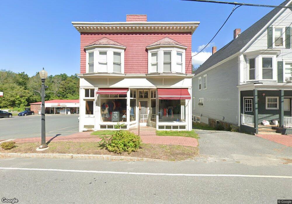
64 Main St Enfield, NH 03748
Estimated Value: $610,994
3
Beds
3
Baths
5,715
Sq Ft
$107/Sq Ft
Est. Value
About This Home
This home is located at 64 Main St, Enfield, NH 03748 and is currently estimated at $610,994, approximately $106 per square foot. 64 Main St is a home located in Grafton County with nearby schools including Enfield Village School, Indian River School, and Mascoma Valley Regional High School.
Ownership History
Date
Name
Owned For
Owner Type
Purchase Details
Closed on
Dec 23, 2021
Sold by
64 Main Llc
Bought by
Acorn To Sky Invs Llc
Current Estimated Value
Home Financials for this Owner
Home Financials are based on the most recent Mortgage that was taken out on this home.
Original Mortgage
$333,750
Outstanding Balance
$303,844
Interest Rate
2.98%
Mortgage Type
Purchase Money Mortgage
Estimated Equity
$307,150
Purchase Details
Closed on
Oct 18, 2004
Sold by
Loupis Mark L
Bought by
64 Main Llc
Create a Home Valuation Report for This Property
The Home Valuation Report is an in-depth analysis detailing your home's value as well as a comparison with similar homes in the area
Home Values in the Area
Average Home Value in this Area
Purchase History
We collect this data history from publicly available records. To have your information removed, we recommend requesting removal directly through your county’s website.
| Date | Buyer | Sale Price | Title Company |
|---|---|---|---|
| Acorn To Sky Invs Llc | $445,000 | None Available | |
| Acorn To Sky Invs Llc | $445,000 | None Available | |
| 64 Main Llc | $140,000 | -- |
Source: Public Records
Mortgage History
We collect this data history from publicly available records. To have your information removed, we recommend requesting removal directly through your county’s website.
| Date | Status | Borrower | Loan Amount |
|---|---|---|---|
| Open | Acorn To Sky Invs Llc | $333,750 | |
| Closed | Acorn To Sky Invs Llc | $333,750 | |
| Previous Owner | 64 Main Llc | $99,900 |
Source: Public Records
Tax History
| Year | Tax Paid | Tax Assessment Tax Assessment Total Assessment is a certain percentage of the fair market value that is determined by local assessors to be the total taxable value of land and additions on the property. | Land | Improvement |
|---|---|---|---|---|
| 2025 | $7,039 | $394,800 | $136,600 | $258,200 |
| 2024 | $6,676 | $394,800 | $136,600 | $258,200 |
| 2023 | $6,907 | $254,300 | $90,600 | $163,700 |
| 2022 | $6,486 | $251,900 | $90,600 | $161,300 |
| 2021 | $6,325 | $251,900 | $90,600 | $161,300 |
| 2020 | $6,411 | $251,900 | $90,600 | $161,300 |
| 2015 | $5,515 | $219,900 | $83,400 | $136,500 |
| 2014 | $6,100 | $263,400 | $83,400 | $180,000 |
| 2013 | $5,616 | $263,400 | $83,400 | $180,000 |
| 2012 | $5,347 | $263,400 | $83,400 | $180,000 |
Source: Public Records
Map
Nearby Homes
- 278 U S 4
- 25 Union St
- 0 US Route 4 Unit 36
- 347 U S 4
- 10 Chester Ln Unit 4
- 135 Maple St
- 176 Shaker Hill Rd
- 0 Lovejoy Brook Rd Unit 5001320
- 56 Daniels Dr
- 695 Dartmouth College Hwy Unit 15
- 41 Chosen Vale Ln
- 92 Moose Mountain Rd
- 49 Chosen Vale Ln
- 93 Chosen Vale Ln
- 86 Route 4a Unit 19U
- 86 Nh Route 4a Unit 8L
- 86 Nh Route 4a Unit 5U
- 200 Shaker Blvd
- 0 Manchester Dr Unit 26
- 503 Dartmouth College Hwy
Your Personal Tour Guide
Ask me questions while you tour the home.