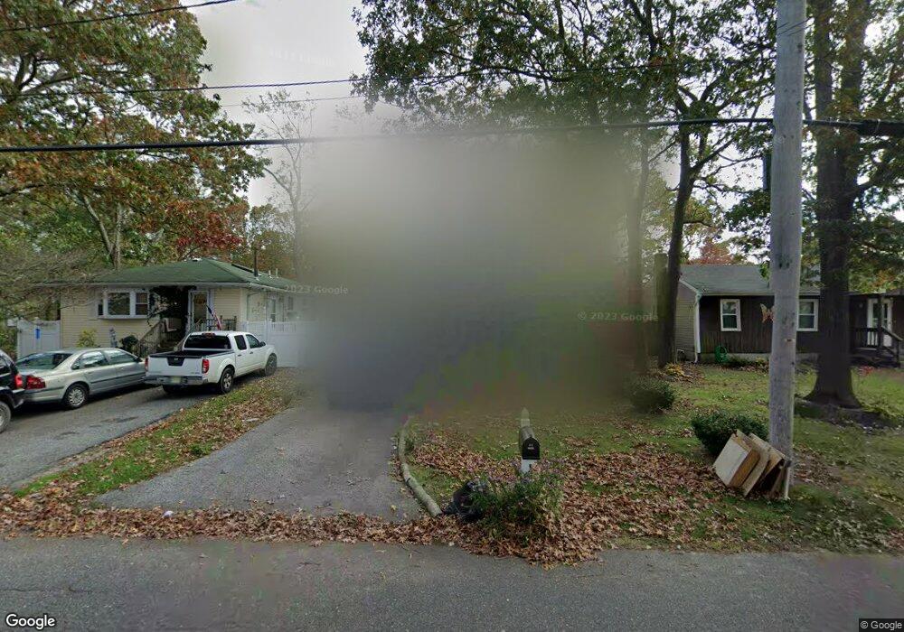
64 Mastic Blvd Mastic, NY 11950
Estimated Value: $418,000 - $502,000
3
Beds
2
Baths
1,144
Sq Ft
$399/Sq Ft
Est. Value
About This Home
This home is located at 64 Mastic Blvd, Mastic, NY 11950 and is currently estimated at $456,923, approximately $399 per square foot. 64 Mastic Blvd is a home located in Suffolk County with nearby schools including Moriches Elementary School, William Floyd Middle School, and William Floyd High School.
Ownership History
Date
Name
Owned For
Owner Type
Purchase Details
Closed on
Jul 26, 2006
Sold by
Desrouilleres Yves
Bought by
Principal Ladonya C
Current Estimated Value
Purchase Details
Closed on
Oct 2, 2001
Sold by
Horan James P and Horan Janet D
Bought by
Desrouilleres Yves and Desrouilleres Regine
Home Financials for this Owner
Home Financials are based on the most recent Mortgage that was taken out on this home.
Original Mortgage
$110,229
Interest Rate
6.66%
Mortgage Type
FHA
Create a Home Valuation Report for This Property
The Home Valuation Report is an in-depth analysis detailing your home's value as well as a comparison with similar homes in the area
Home Values in the Area
Average Home Value in this Area
Purchase History
| Date | Buyer | Sale Price | Title Company |
|---|---|---|---|
| Principal Ladonya C | $286,200 | Grace M. Morales | |
| Desrouilleres Yves | $116,600 | -- |
Source: Public Records
Mortgage History
| Date | Status | Borrower | Loan Amount |
|---|---|---|---|
| Previous Owner | Desrouilleres Yves | $110,229 |
Source: Public Records
Tax History Compared to Growth
Tax History
| Year | Tax Paid | Tax Assessment Tax Assessment Total Assessment is a certain percentage of the fair market value that is determined by local assessors to be the total taxable value of land and additions on the property. | Land | Improvement |
|---|---|---|---|---|
| 2024 | $8,215 | $2,040 | $80 | $1,960 |
| 2023 | $8,215 | $2,040 | $80 | $1,960 |
| 2022 | $9,140 | $2,040 | $80 | $1,960 |
| 2021 | $9,140 | $2,040 | $80 | $1,960 |
| 2020 | $9,335 | $2,040 | $80 | $1,960 |
| 2019 | $9,335 | $0 | $0 | $0 |
| 2018 | $8,977 | $2,040 | $80 | $1,960 |
| 2017 | $8,977 | $2,040 | $80 | $1,960 |
| 2016 | $8,978 | $2,040 | $80 | $1,960 |
| 2015 | -- | $2,040 | $80 | $1,960 |
| 2014 | -- | $2,040 | $80 | $1,960 |
Source: Public Records
Map
Nearby Homes
- 66 Wood Ave
- 114 Bedford Ave
- 29 Bedford Ave
- 72 Clinton Ave
- 0 Bedford Ave Unit KEYL3488158
- 14 Hawthorne St
- 43 Hampton Ave
- 123 Patchogue Ave
- 1287 Montauk Hwy
- 1397 Montauk Hwy
- 29 Wood Ave
- 5 Ormond Place
- 6 Bonny Dr
- 111 A Wood Ave
- 123 Hawthorne St
- 0 Carlton Ave Unit KEY853013
- 8 Paul Dr
- 1467 Montauk Hwy
- 150 Moriches Ave
- 3 Hoover Ct