64 Mayflower Ridge Dr Wareham, MA 02571
Estimated Value: $403,000 - $451,000
2
Beds
2
Baths
1,000
Sq Ft
$430/Sq Ft
Est. Value
About This Home
This home is located at 64 Mayflower Ridge Dr, Wareham, MA 02571 and is currently estimated at $429,682, approximately $429 per square foot. 64 Mayflower Ridge Dr is a home located in Plymouth County.
Ownership History
Date
Name
Owned For
Owner Type
Purchase Details
Closed on
Oct 11, 2007
Sold by
Almquist Eric T
Bought by
Dangora Kendra
Current Estimated Value
Home Financials for this Owner
Home Financials are based on the most recent Mortgage that was taken out on this home.
Original Mortgage
$247,500
Interest Rate
6.39%
Purchase Details
Closed on
Oct 23, 2003
Sold by
Almquist Karen G
Bought by
Almquist Eric T
Purchase Details
Closed on
Oct 24, 1997
Sold by
Suddard Joan M
Bought by
Almquist Eric T and Almquist Karen G
Create a Home Valuation Report for This Property
The Home Valuation Report is an in-depth analysis detailing your home's value as well as a comparison with similar homes in the area
Home Values in the Area
Average Home Value in this Area
Purchase History
| Date | Buyer | Sale Price | Title Company |
|---|---|---|---|
| Dangora Kendra | -- | -- | |
| Almquist Eric T | $94,300 | -- | |
| Almquist Eric T | $93,000 | -- | |
| Dangora Kendra | -- | -- | |
| Almquist Eric T | $94,300 | -- | |
| Almquist Eric T | $93,000 | -- |
Source: Public Records
Mortgage History
| Date | Status | Borrower | Loan Amount |
|---|---|---|---|
| Open | Almquist Eric T | $241,500 | |
| Closed | Almquist Eric T | $247,500 |
Source: Public Records
Tax History Compared to Growth
Tax History
| Year | Tax Paid | Tax Assessment Tax Assessment Total Assessment is a certain percentage of the fair market value that is determined by local assessors to be the total taxable value of land and additions on the property. | Land | Improvement |
|---|---|---|---|---|
| 2025 | $3,638 | $349,100 | $137,300 | $211,800 |
| 2024 | $3,491 | $310,900 | $108,700 | $202,200 |
| 2023 | $3,389 | $272,900 | $98,800 | $174,100 |
| 2022 | $3,389 | $257,100 | $98,800 | $158,300 |
| 2021 | $3,036 | $225,700 | $98,800 | $126,900 |
| 2020 | $2,843 | $214,400 | $98,800 | $115,600 |
| 2019 | $2,734 | $205,700 | $99,700 | $106,000 |
| 2018 | $2,804 | $205,700 | $99,700 | $106,000 |
| 2017 | $2,678 | $199,100 | $99,700 | $99,400 |
| 2016 | $2,530 | $187,000 | $99,700 | $87,300 |
| 2015 | $2,487 | $190,300 | $99,700 | $90,600 |
| 2014 | $2,461 | $191,500 | $99,700 | $91,800 |
Source: Public Records
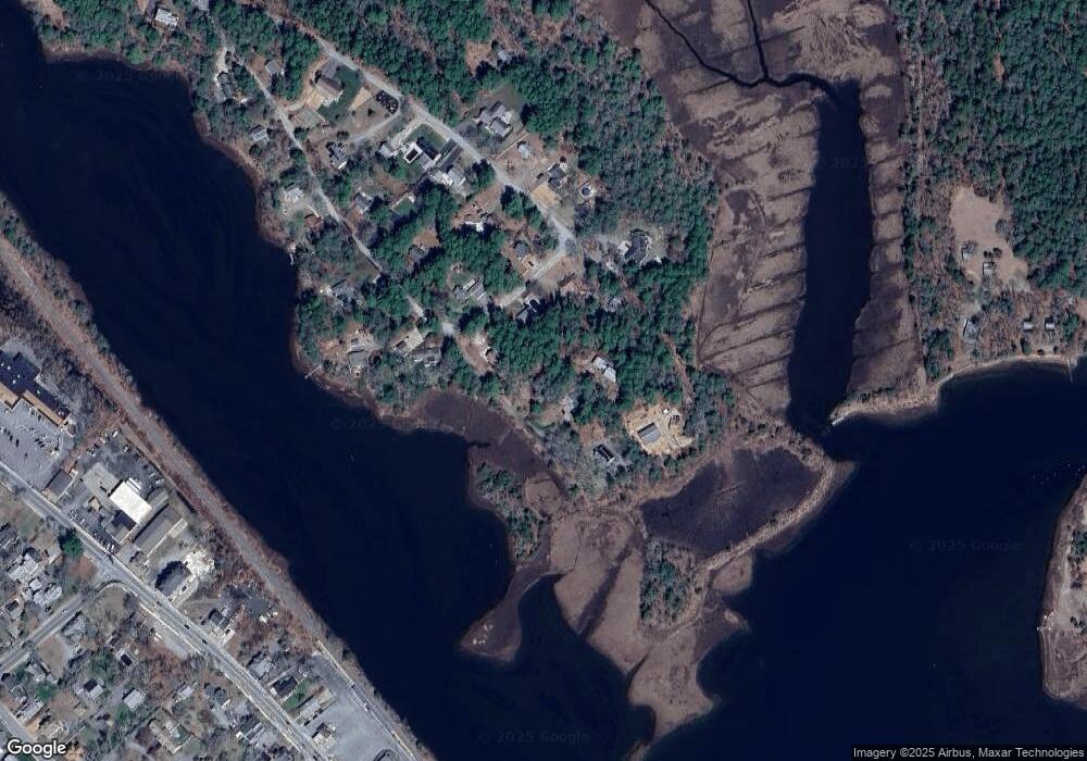
Map
Nearby Homes
- 110 Mayflower Ridge Dr
- 425 Main St Unit E
- 437 Main St
- 50 Avenue A St
- 2596 Cranberry Hwy
- 39 Highland Rd
- 125 Jeffreys Path
- 3 Cedar St
- 13 Cherry St
- 5 Oak Hill Rd
- 10 Nimrod Way
- 67 Swifts Beach Rd
- 2731 Cranberry Hwy
- 8 Cottage St
- 8 Woodland Cir
- 6 Back St
- 51 Minot Ave Unit 1
- 687 Main St
- 261 Marion Rd
- 15 Broadmarsh Ave
- 66 Mayflower Ridge Dr
- 60 Mayflower Ridge Dr
- 3 Heather Hill Rd
- 94 Mayflower Ridge Dr
- 96 Mayflower Ridge Dr
- 68 Mayflower Ridge Dr
- 5 Heather Hill Rd
- 1 Heather Hill Rd
- 56 Mayflower Ridge Dr
- 55 Mayflower Ridge Dr
- 55 Mayflower Ridge Dr Unit 1
- 102 Mayflower Ridge Dr
- 80 Mayflower Ridge Dr
- 80 Mayflower Ridge
- 99 Mayflower Ridge Dr
- 104 Mayflower Ridge Dr
- 53 Mayflower Ridge Dr
- 52 Mayflower Ridge Dr
- 103 Mayflower Ridge Dr
- 105 Mayflower Ridge Dr