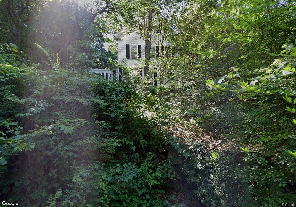
64 Mianus Rd Cos Cob, CT 06807
Westover NeighborhoodEstimated Value: $1,195,000 - $1,674,000
4
Beds
3
Baths
2,516
Sq Ft
$555/Sq Ft
Est. Value
About This Home
This home is located at 64 Mianus Rd, Cos Cob, CT 06807 and is currently estimated at $1,397,427, approximately $555 per square foot. 64 Mianus Rd is a home with nearby schools including Stillmeadow Elementary School, Cloonan School, and Westhill High School.
Ownership History
Date
Name
Owned For
Owner Type
Purchase Details
Closed on
Mar 22, 2018
Sold by
Salmon Stephen A and Salmon Elizabeth K
Bought by
Dip Deborah and Dip Guillermo
Current Estimated Value
Home Financials for this Owner
Home Financials are based on the most recent Mortgage that was taken out on this home.
Original Mortgage
$453,100
Outstanding Balance
$387,717
Interest Rate
4.32%
Mortgage Type
New Conventional
Estimated Equity
$1,009,710
Purchase Details
Closed on
Oct 10, 1990
Sold by
Mech & Farm Svg Bk
Bought by
Salmon Stephen
Create a Home Valuation Report for This Property
The Home Valuation Report is an in-depth analysis detailing your home's value as well as a comparison with similar homes in the area
Home Values in the Area
Average Home Value in this Area
Purchase History
| Date | Buyer | Sale Price | Title Company |
|---|---|---|---|
| Dip Deborah | $659,500 | -- | |
| Salmon Stephen | $215,000 | -- |
Source: Public Records
Mortgage History
| Date | Status | Borrower | Loan Amount |
|---|---|---|---|
| Open | Dip Deborah | $453,100 | |
| Previous Owner | Salmon Stephen | $560,000 | |
| Previous Owner | Salmon Stephen | $417,000 | |
| Previous Owner | Salmon Stephen | $300,000 |
Source: Public Records
Tax History Compared to Growth
Tax History
| Year | Tax Paid | Tax Assessment Tax Assessment Total Assessment is a certain percentage of the fair market value that is determined by local assessors to be the total taxable value of land and additions on the property. | Land | Improvement |
|---|---|---|---|---|
| 2025 | $13,014 | $559,270 | $274,830 | $284,440 |
| 2024 | $12,729 | $559,270 | $274,830 | $284,440 |
| 2023 | $13,680 | $559,270 | $274,830 | $284,440 |
| 2022 | $12,064 | $458,170 | $208,350 | $249,820 |
| 2021 | $11,899 | $458,170 | $208,350 | $249,820 |
| 2020 | $11,605 | $458,170 | $208,350 | $249,820 |
| 2019 | $11,605 | $458,170 | $208,350 | $249,820 |
| 2018 | $10,709 | $437,980 | $208,350 | $229,630 |
| 2017 | $10,929 | $406,440 | $196,090 | $210,350 |
| 2016 | $10,088 | $406,440 | $196,090 | $210,350 |
| 2015 | $9,811 | $406,440 | $196,090 | $210,350 |
| 2014 | $9,474 | $406,440 | $196,090 | $210,350 |
Source: Public Records
Map
Nearby Homes
- 75 W Glen Dr
- 9 Walnut St
- 60 Greenleaf Dr
- 92 Hillcrest Park Rd
- 887 Westover Rd
- 116 Hillcrest Park Rd
- 124 Wyndover Ln
- 177 Long Close Rd
- 333 Palmer Hill Rd Unit 2E
- 1011 Stillwater Rd
- 303 Bridge St
- 36 Old Barn Rd S
- 6 Fox Hollow Ln
- 17 Old Barn Rd S
- 85 Riverside Ave Unit E8
- 77 Havemeyer Ln Unit 420
- 77 Havemeyer Ln Unit 46
- 7 Pleasant View Place
- 28 N Ridge Rd
- 48 Randall Ave Unit 3