Estimated Value: $602,052 - $786,000
4
Beds
3
Baths
2,355
Sq Ft
$291/Sq Ft
Est. Value
About This Home
This home is located at 64 Mine Rd, Oley, PA 19547 and is currently estimated at $684,513, approximately $290 per square foot. 64 Mine Rd is a home located in Berks County with nearby schools including Oley Valley Elementary School, Oley Valley Middle School, and Oley Valley Senior High School.
Ownership History
Date
Name
Owned For
Owner Type
Purchase Details
Closed on
Jul 28, 2006
Sold by
Kuri Philip and Roytman Polina
Bought by
Palmiotti Andrew G and Palmiotti Diane
Current Estimated Value
Home Financials for this Owner
Home Financials are based on the most recent Mortgage that was taken out on this home.
Original Mortgage
$250,000
Interest Rate
6.71%
Mortgage Type
New Conventional
Purchase Details
Closed on
May 17, 2001
Sold by
Moser Gregory J and Moser Kathleen M
Bought by
Moser Kathleen M
Home Financials for this Owner
Home Financials are based on the most recent Mortgage that was taken out on this home.
Original Mortgage
$98,000
Interest Rate
7.2%
Create a Home Valuation Report for This Property
The Home Valuation Report is an in-depth analysis detailing your home's value as well as a comparison with similar homes in the area
Home Values in the Area
Average Home Value in this Area
Purchase History
| Date | Buyer | Sale Price | Title Company |
|---|---|---|---|
| Palmiotti Andrew G | $385,000 | None Available | |
| Moser Kathleen M | -- | -- |
Source: Public Records
Mortgage History
| Date | Status | Borrower | Loan Amount |
|---|---|---|---|
| Previous Owner | Palmiotti Andrew G | $250,000 | |
| Previous Owner | Moser Kathleen M | $98,000 |
Source: Public Records
Tax History
| Year | Tax Paid | Tax Assessment Tax Assessment Total Assessment is a certain percentage of the fair market value that is determined by local assessors to be the total taxable value of land and additions on the property. | Land | Improvement |
|---|---|---|---|---|
| 2025 | $1,905 | $173,000 | $48,300 | $124,700 |
| 2024 | $6,951 | $173,000 | $48,300 | $124,700 |
| 2023 | $6,694 | $173,000 | $48,300 | $124,700 |
| 2022 | $6,608 | $173,000 | $48,300 | $124,700 |
| 2021 | $6,521 | $173,000 | $48,300 | $124,700 |
| 2020 | $6,418 | $173,000 | $48,300 | $124,700 |
| 2019 | $6,314 | $173,000 | $48,300 | $124,700 |
| 2018 | $6,243 | $173,000 | $48,300 | $124,700 |
| 2017 | $6,090 | $173,000 | $48,300 | $124,700 |
| 2016 | $1,397 | $173,000 | $48,300 | $124,700 |
| 2015 | $1,397 | $173,000 | $48,300 | $124,700 |
| 2014 | $1,397 | $173,000 | $48,300 | $124,700 |
Source: Public Records
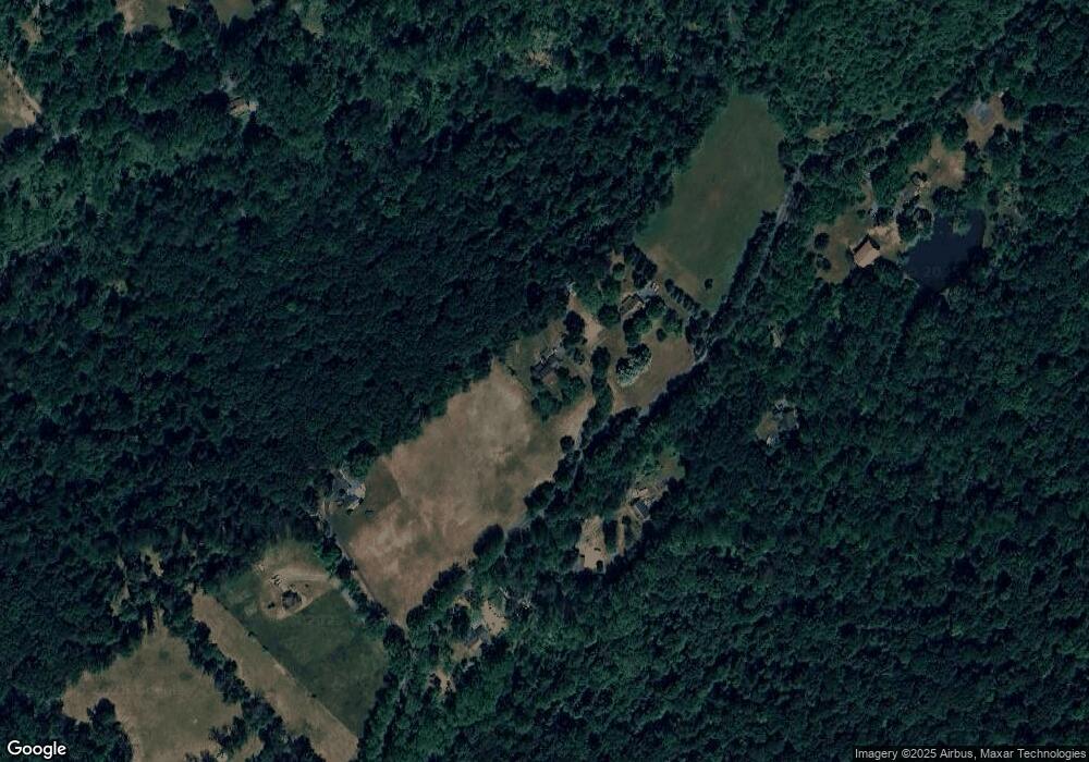
Map
Nearby Homes
- 405 Oysterdale Rd
- 148 Five Points Rd
- 4 Baldy Hill Rd
- 38 Lutz Rd
- 220 Landis Store Rd
- 18 Essig Dr
- 120 Deysher Rd
- 28 High View Ln
- 149 Bitting Rd
- 275 Sally Ann Furnace Rd
- 0 Hill Rd
- 33 Squaw Cir
- 20 Highland Dr
- 22 Apache Run
- 120 Benfield Rd
- 728 Mountain Rd
- 112 Orchard Rd
- 1970 Weisstown Rd
- 202 Water St
- 211 Orchard Rd
Your Personal Tour Guide
Ask me questions while you tour the home.