Estimated Value: $354,536
2
Beds
1
Bath
900
Sq Ft
$394/Sq Ft
Est. Value
About This Home
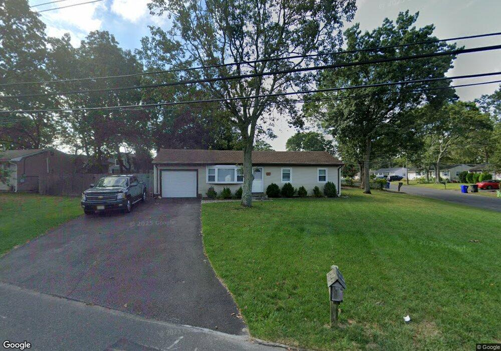
This home is located at 64 Neil Ave, Brick, NJ 08724 and is currently priced at $354,536, approximately $393 per square foot. 64 Neil Ave is a home located in Ocean County with nearby schools including Lanes Mill Elementary School, Veterans Memorial Middle School, and Brick Township Memorial High School.
Ownership History
Date
Name
Owned For
Owner Type
Purchase Details
Closed on
Aug 22, 2001
Sold by
Brandon Reo
Bought by
Bobzin William
Current Estimated Value
Home Financials for this Owner
Home Financials are based on the most recent Mortgage that was taken out on this home.
Original Mortgage
$143,850
Outstanding Balance
$56,357
Interest Rate
7.21%
Mortgage Type
VA
Create a Home Valuation Report for This Property
The Home Valuation Report is an in-depth analysis detailing your home's value as well as a comparison with similar homes in the area
Home Values in the Area
Average Home Value in this Area
Purchase History
| Date | Buyer | Sale Price | Title Company |
|---|---|---|---|
| Bobzin William | $140,000 | -- | |
| Bobzin William | $140,000 | -- |
Source: Public Records
Mortgage History
| Date | Status | Borrower | Loan Amount |
|---|---|---|---|
| Open | Bobzin William | $143,850 | |
| Closed | Bobzin William | $143,850 |
Source: Public Records
Map
Nearby Homes
- 00 Larchmont Ave
- 49 Markham Rd
- 1416 Isabella Ct Unit D3
- 34 Clark Dr
- 17 Clark Dr
- 202 Samantha Ct
- 6 Hardy Ct
- 1728 Burrsville Rd
- 802 Sandra Place
- 17 Markham Rd
- 23 Higgins Ct
- 1557 Alamitos Dr
- 47 Cherrywood Cir Unit 147
- 35 Vivian Ct
- 5 Cherrywood Cir Unit 105
- 24 Netty St
- 24 Clay Cir
- 20 Netty St
- 1575 Alamitos Dr
- 1418 Forest Ave
Your Personal Tour Guide
Ask me questions while you tour the home.