64 Platt Farm Rd Morris, CT 06763
Estimated Value: $590,000 - $913,000
4
Beds
4
Baths
2,675
Sq Ft
$294/Sq Ft
Est. Value
About This Home
This home is located at 64 Platt Farm Rd, Morris, CT 06763 and is currently estimated at $786,468, approximately $294 per square foot. 64 Platt Farm Rd is a home located in Litchfield County with nearby schools including Lakeview High School, The Woodhall School, and Arch Bridge School.
Ownership History
Date
Name
Owned For
Owner Type
Purchase Details
Closed on
Apr 9, 2019
Sold by
Gnidula Tadeusz and Gnidula Sophie
Bought by
Micci Rosanne M
Current Estimated Value
Home Financials for this Owner
Home Financials are based on the most recent Mortgage that was taken out on this home.
Original Mortgage
$420,000
Outstanding Balance
$368,502
Interest Rate
4.4%
Mortgage Type
Construction
Estimated Equity
$417,966
Purchase Details
Closed on
Dec 23, 1986
Bought by
Gnidula Tadeusz and Gnidula Sophie
Create a Home Valuation Report for This Property
The Home Valuation Report is an in-depth analysis detailing your home's value as well as a comparison with similar homes in the area
Home Values in the Area
Average Home Value in this Area
Purchase History
| Date | Buyer | Sale Price | Title Company |
|---|---|---|---|
| Micci Rosanne M | $100,000 | -- | |
| Gnidula Tadeusz | -- | -- |
Source: Public Records
Mortgage History
| Date | Status | Borrower | Loan Amount |
|---|---|---|---|
| Open | Micci Rosanne M | $420,000 |
Source: Public Records
Tax History Compared to Growth
Tax History
| Year | Tax Paid | Tax Assessment Tax Assessment Total Assessment is a certain percentage of the fair market value that is determined by local assessors to be the total taxable value of land and additions on the property. | Land | Improvement |
|---|---|---|---|---|
| 2025 | $8,797 | $452,740 | $51,130 | $401,610 |
| 2024 | $7,959 | $452,740 | $51,130 | $401,610 |
| 2023 | $8,285 | $452,740 | $51,130 | $401,610 |
| 2022 | $7,984 | $332,800 | $43,590 | $289,210 |
| 2021 | $8,197 | $332,800 | $43,590 | $289,210 |
| 2020 | $3,792 | $150,670 | $43,590 | $107,080 |
| 2019 | $1,157 | $43,590 | $43,590 | $0 |
| 2018 | $1,158 | $43,590 | $43,590 | $0 |
| 2017 | $1,305 | $45,530 | $45,530 | $0 |
| 2016 | $1,267 | $45,530 | $45,530 | $0 |
| 2015 | $1,180 | $45,530 | $45,530 | $0 |
| 2014 | $1,487 | $66,450 | $66,450 | $0 |
Source: Public Records
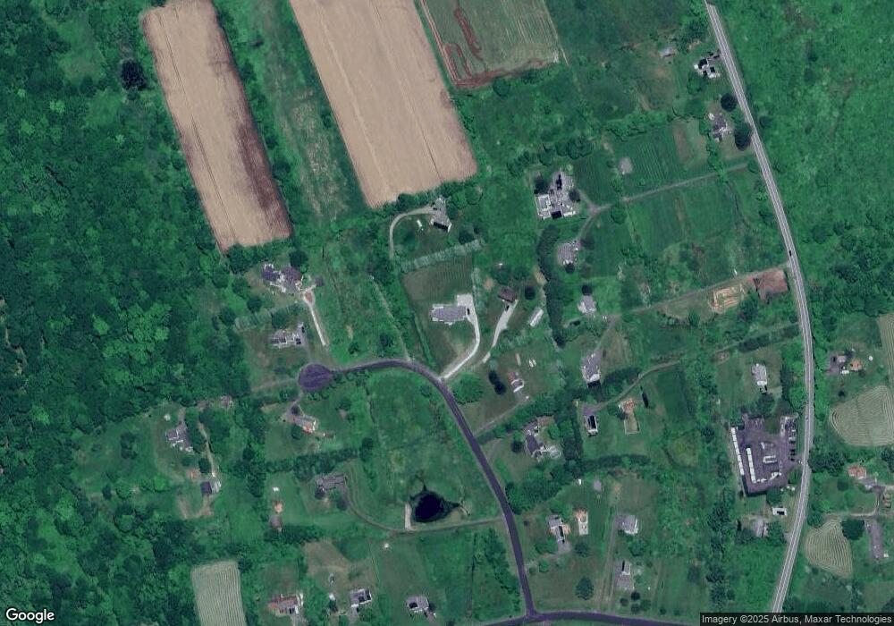
Map
Nearby Homes
- 21 Long Meadow Rd
- 169 E Shore Rd
- 23 Kenyon Rd
- 159 Main St N
- 98 Island Trail
- 107 Island Trail
- 17 Marsh Point
- 44 Bantam Lake Heights
- 181 Stoddard Rd
- 165 Stoddard Rd
- 187 Stoddard Rd
- 262 Stoddard Rd
- 25 East St
- 8 Main St N
- 208 Wood Creek Rd
- 298 Kenyon Rd
- 176 Hidden Pond Dr
- 1543 Litchfield Rd
- Lot 20 Bassett Rd
- 161 Circle Dr
- 60 Platt Farm Rd
- 68 Platt Farm Rd
- 56 Platt Farm Rd
- 35A Platt Farm Rd
- 78 Platt Farm Rd
- 35 Platt Farm Rd
- 46 Platt Farm Rd
- 82 Platt Farm Rd
- 13 Platt Farm Rd
- 84 South St
- 94 South St
- 86 South St
- 100 South St
- 8 Platt Farm Rd
- 72 South St
- 40 N Terrell Farm Rd
- 52 N Terrell Farm Rd
- 134 South St
- 108 South St
- 80 South St