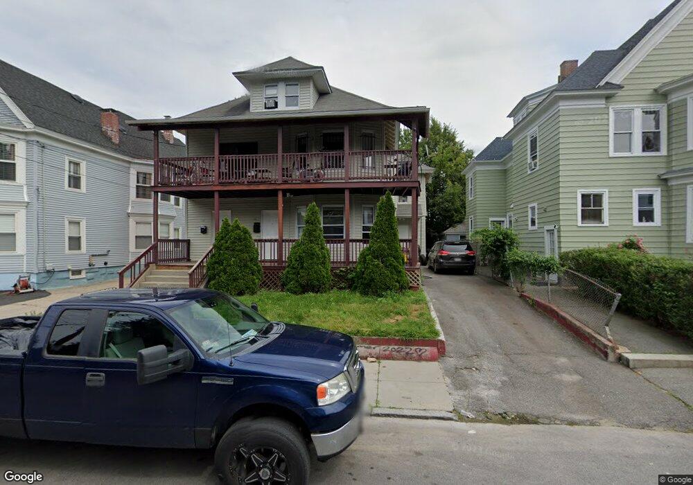
64 Saunders St Unit 66 Lawrence, MA 01841
Arlington NeighborhoodEstimated Value: $808,000 - $931,000
7
Beds
3
Baths
4,269
Sq Ft
$204/Sq Ft
Est. Value
About This Home
This home is located at 64 Saunders St Unit 66, Lawrence, MA 01841 and is currently estimated at $868,870, approximately $203 per square foot. 64 Saunders St Unit 66 is a home located in Essex County with nearby schools including School For Exceptional Studies and Central Catholic High School.
Ownership History
Date
Name
Owned For
Owner Type
Purchase Details
Closed on
Oct 15, 1992
Sold by
Hibernia Sb
Bought by
Cutoen Iroelia
Current Estimated Value
Home Financials for this Owner
Home Financials are based on the most recent Mortgage that was taken out on this home.
Original Mortgage
$71,250
Interest Rate
7.93%
Mortgage Type
Purchase Money Mortgage
Purchase Details
Closed on
Aug 8, 1988
Sold by
Rocco Gregory
Bought by
Folk William D
Home Financials for this Owner
Home Financials are based on the most recent Mortgage that was taken out on this home.
Original Mortgage
$141,600
Interest Rate
10.36%
Mortgage Type
Purchase Money Mortgage
Create a Home Valuation Report for This Property
The Home Valuation Report is an in-depth analysis detailing your home's value as well as a comparison with similar homes in the area
Home Values in the Area
Average Home Value in this Area
Purchase History
We collect this data history from publicly available records. To have your information removed, we recommend requesting removal directly through your county’s website.
| Date | Buyer | Sale Price | Title Company |
|---|---|---|---|
| Cutoen Iroelia | $75,000 | -- | |
| Folk William D | $177,000 | -- |
Source: Public Records
Mortgage History
We collect this data history from publicly available records. To have your information removed, we recommend requesting removal directly through your county’s website.
| Date | Status | Borrower | Loan Amount |
|---|---|---|---|
| Closed | Folk William D | $71,250 | |
| Previous Owner | Folk William D | $141,600 |
Source: Public Records
Tax History
| Year | Tax Paid | Tax Assessment Tax Assessment Total Assessment is a certain percentage of the fair market value that is determined by local assessors to be the total taxable value of land and additions on the property. | Land | Improvement |
|---|---|---|---|---|
| 2025 | $7,090 | $805,700 | $130,900 | $674,800 |
| 2024 | $6,461 | $698,500 | $96,800 | $601,700 |
| 2023 | $6,807 | $670,000 | $94,400 | $575,600 |
| 2022 | $6,411 | $560,400 | $94,400 | $466,000 |
| 2021 | $6,202 | $505,500 | $94,400 | $411,100 |
| 2020 | $6,132 | $493,300 | $84,900 | $408,400 |
| 2019 | $5,688 | $415,800 | $76,300 | $339,500 |
| 2018 | $5,195 | $362,800 | $65,700 | $297,100 |
| 2017 | $4,895 | $319,100 | $64,900 | $254,200 |
| 2016 | $4,577 | $295,100 | $47,300 | $247,800 |
| 2015 | $4,205 | $278,100 | $47,300 | $230,800 |
Source: Public Records
Map
Nearby Homes
- 20 Montgomery St
- 229 Jackson St
- 15 Bunkerhill St
- 106 E Haverhill St
- 128 East St
- 4 Chelmsford St
- 46 Amesbury St Unit 2B
- 40-42 Holly St
- 15 Erhardt Terrace
- 202 Broadway Unit 2-3
- 202 Broadway Unit 3-2
- 264 E Haverhill St Unit 2
- 264 E Haverhill St Unit 4
- 7 Erhardt Terrace
- 98 Pleasant View St
- 84 Howard St
- 10 Gloucester St
- 31 Dexter St
- 70 Marston St
- 15 Crescent St Unit D
- 58 Saunders St
- 54 Saunders St Unit 56
- 43 Thorndike St
- 60 Saunders St
- 48-50 Saunders St
- 48 Saunders St Unit 50
- 44 Thorndike St
- 44 Thorndike St Unit 1
- 61 Saunders St
- 211 Bruce St
- 215 Bruce St Unit 217
- 205 Bruce St Unit 207
- 46 Saunders St
- 46 Thorndike St Unit 48
- 67 Saunders St Unit 3
- 250 Thorndike St
- 49 Thorndike St
- 221 Bruce St
- 201 Bruce St
- 70 Saunders St
Your Personal Tour Guide
Ask me questions while you tour the home.