Estimated Value: $368,000 - $645,000
3
Beds
2
Baths
2,490
Sq Ft
$200/Sq Ft
Est. Value
About This Home
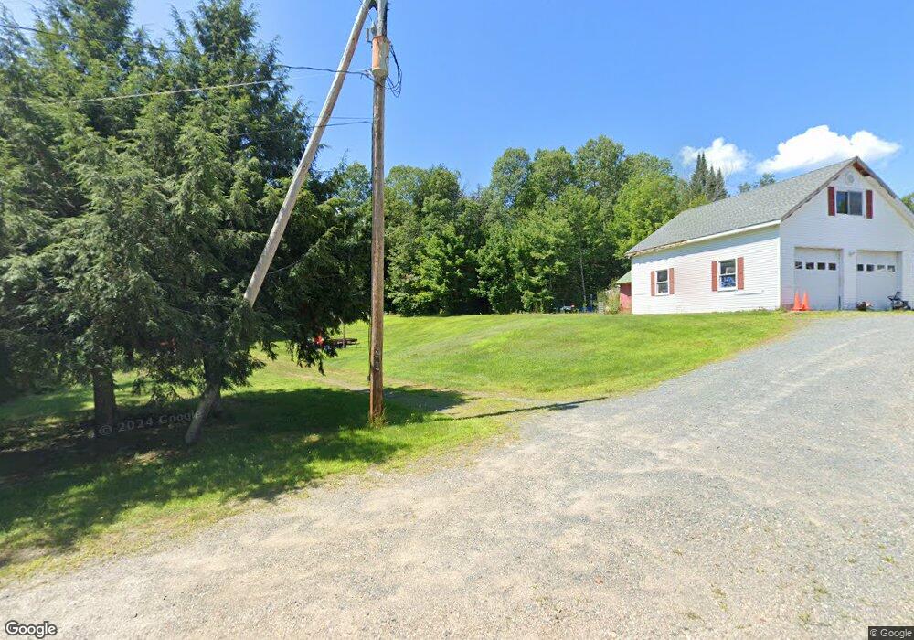
This home is located at 64 Stone Dr, Stark, NH 03582 and is currently estimated at $497,940, approximately $199 per square foot. 64 Stone Dr is a home located in Coos County.
Create a Home Valuation Report for This Property
The Home Valuation Report is an in-depth analysis detailing your home's value as well as a comparison with similar homes in the area
Tax History
| Year | Tax Paid | Tax Assessment Tax Assessment Total Assessment is a certain percentage of the fair market value that is determined by local assessors to be the total taxable value of land and additions on the property. | Land | Improvement |
|---|---|---|---|---|
| 2025 | $4,816 | $407,800 | $124,400 | $283,400 |
| 2024 | $4,429 | $407,800 | $124,400 | $283,400 |
| 2023 | $4,293 | $207,200 | $47,800 | $159,400 |
| 2022 | $3,095 | $189,200 | $47,800 | $141,400 |
| 2021 | $3,769 | $189,200 | $47,800 | $141,400 |
| 2020 | $3,406 | $189,200 | $47,800 | $141,400 |
| 2019 | $3,419 | $189,200 | $47,800 | $141,400 |
| 2018 | $3,233 | $180,000 | $32,200 | $147,800 |
| 2017 | $3,274 | $180,000 | $32,200 | $147,800 |
| 2016 | $3,136 | $180,000 | $32,200 | $147,800 |
| 2015 | $2,939 | $172,800 | $32,200 | $140,600 |
| 2014 | $3,021 | $172,800 | $32,200 | $140,600 |
| 2013 | $3,347 | $191,500 | $32,000 | $159,500 |
Source: Public Records
Map
Nearby Homes
- 12 Crow Hill St
- 13 Fiske St
- 13 Hillside Ave
- 84 Hillside Ave
- 15 Rich St
- 0 Town Line Rd Unit 1 and 33 4953131
- 0 Thompson Rd Unit 8
- Lot 10 US Rte 3
- 114 US Route 3
- 997 Stark Hwy
- 147 U S 3
- 388 Percy Rd
- 338 Percy Rd
- 93 Bog Rd
- 58 Hollow Rd Unit M239 L021
- 75 Walther Way
- 413 Lancaster Rd
- Lot 15 Holbrook Hill Rd
- 164 Holbrook Hill Rd
- 00 Bog Rd Unit 31
Your Personal Tour Guide
Ask me questions while you tour the home.