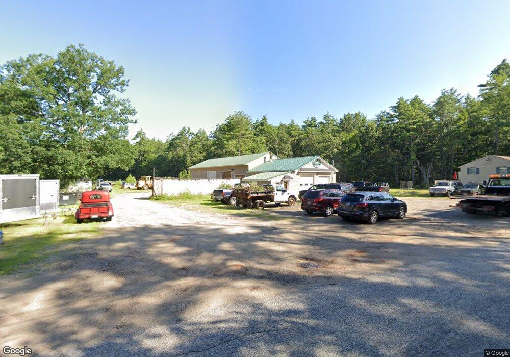
64 Swetts Bridge Rd Alfred, ME 04002
Estimated Value: $403,000 - $578,356
3
Beds
--
Bath
960
Sq Ft
$528/Sq Ft
Est. Value
About This Home
This home is located at 64 Swetts Bridge Rd, Alfred, ME 04002 and is currently estimated at $506,839, approximately $527 per square foot. 64 Swetts Bridge Rd is a home with nearby schools including Massabesic High School, Sanford Christian Academy, and St Thomas Consolidated School.
Ownership History
Date
Name
Owned For
Owner Type
Purchase Details
Closed on
Oct 13, 2017
Sold by
Daney Nicole E
Bought by
Daney Jayson P
Current Estimated Value
Create a Home Valuation Report for This Property
The Home Valuation Report is an in-depth analysis detailing your home's value as well as a comparison with similar homes in the area
Home Values in the Area
Average Home Value in this Area
Purchase History
| Date | Buyer | Sale Price | Title Company |
|---|---|---|---|
| Daney Jayson P | -- | -- | |
| Daney Jayson P | -- | -- | |
| Daney Jayson P | -- | -- | |
| Daney Jayson P | -- | -- |
Source: Public Records
Mortgage History
| Date | Status | Borrower | Loan Amount |
|---|---|---|---|
| Previous Owner | Daney Jayson P | $112,008 |
Source: Public Records
Tax History Compared to Growth
Tax History
| Year | Tax Paid | Tax Assessment Tax Assessment Total Assessment is a certain percentage of the fair market value that is determined by local assessors to be the total taxable value of land and additions on the property. | Land | Improvement |
|---|---|---|---|---|
| 2025 | $5,552 | $575,321 | $155,825 | $419,496 |
| 2024 | $5,437 | $575,321 | $155,825 | $419,496 |
| 2023 | $4,044 | $215,100 | $106,400 | $108,700 |
| 2022 | $3,872 | $215,100 | $106,400 | $108,700 |
| 2021 | $3,671 | $212,800 | $104,100 | $108,700 |
| 2020 | $3,490 | $212,800 | $104,100 | $108,700 |
| 2019 | $3,490 | $212,800 | $104,100 | $108,700 |
| 2018 | $3,384 | $212,800 | $104,100 | $108,700 |
| 2017 | $3,347 | $210,500 | $104,100 | $106,400 |
| 2016 | $3,189 | $210,500 | $104,100 | $106,400 |
| 2015 | $3,052 | $210,500 | $104,100 | $106,400 |
| 2014 | $2,918 | $204,800 | $104,100 | $100,700 |
| 2013 | $2,816 | $204,800 | $104,100 | $100,700 |
Source: Public Records
Map
Nearby Homes
- 58 Sanford Rd
- 23 Branch View Terrace N
- TBD Branch View Terrace Unit Lot 5
- TBD Branch View Terrace Unit Lot 4
- Lot 35 Bennett Rd
- Lot B Bernier Rd
- Lot A Bernier Rd
- 34 Cascade Cir Unit 30
- 87 Drown Rd
- 330 Biddeford Rd
- 6 Commodore Dr
- 9 Commodore Dr
- 0 Sanford Rd
- 8 Hummingbird Ln
- 392 High St
- 533 Kennebunk Rd
- 12 Alice St
- 13 Rachel Dr
- 2252 Alfred Rd
- TBD Olde Farnham Rd
- 68 Swetts Bridge Rd
- 56 Swetts Bridge Rd
- 55 Swetts Bridge Rd
- 42 Swetts Bridge Rd
- 50 Stone Rd
- 60 Stone Rd
- 72 Stone Rd
- 30 Swetts Bridge Rd
- 26 Stone Rd
- 51 Stone Rd
- 65 Stone Rd
- 80 Stone Rd
- 25 Swetts Bridge Rd
- 22 Swetts Bridge Rd
- 17 Stone Rd
- 164 Jordan Springs Rd
- 172 Jordan Springs Rd
- 180 Jordan Springs Rd
- Lot2 Harvest Cir
- Lot 2 Harvest