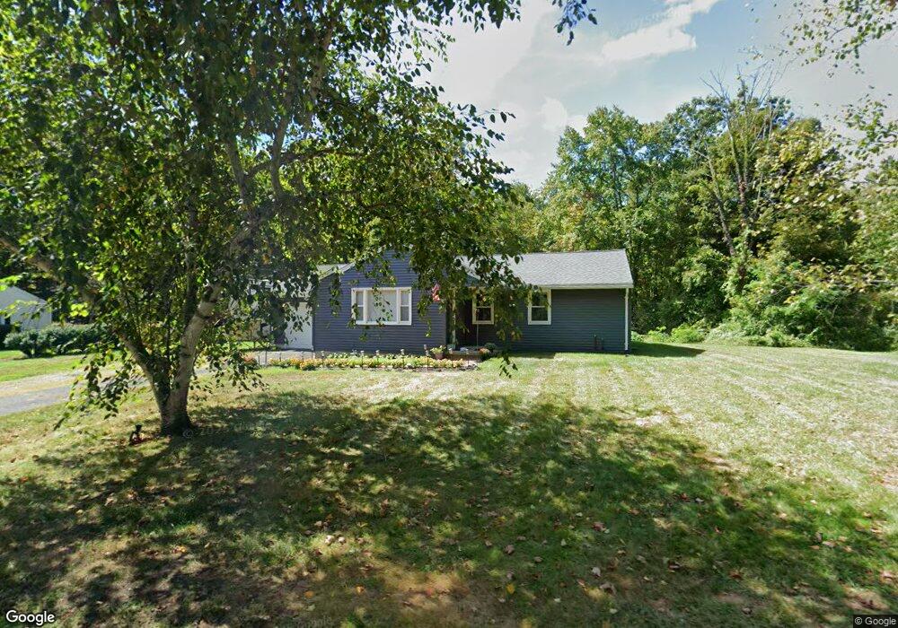
64 Sylvester Rd Florence, MA 01062
Florence NeighborhoodEstimated Value: $365,886 - $459,000
3
Beds
2
Baths
1,040
Sq Ft
$380/Sq Ft
Est. Value
About This Home
This home is located at 64 Sylvester Rd, Florence, MA 01062 and is currently estimated at $394,972, approximately $379 per square foot. 64 Sylvester Rd is a home located in Hampshire County with nearby schools including Northampton High School, Calvary Baptist Christian School, and The Williston Northampton School.
Ownership History
Date
Name
Owned For
Owner Type
Purchase Details
Closed on
Aug 31, 1993
Sold by
Campbell Donald M and Campbell Bette Ann
Bought by
Tacy Patricia A and Rutkowski William J
Current Estimated Value
Create a Home Valuation Report for This Property
The Home Valuation Report is an in-depth analysis detailing your home's value as well as a comparison with similar homes in the area
Home Values in the Area
Average Home Value in this Area
Purchase History
| Date | Buyer | Sale Price | Title Company |
|---|---|---|---|
| Tacy Patricia A | $91,500 | -- |
Source: Public Records
Mortgage History
| Date | Status | Borrower | Loan Amount |
|---|---|---|---|
| Open | Tacy Patricia A | $156,400 | |
| Closed | Tacy Patricia A | $37,000 | |
| Closed | Tacy Patricia A | $95,000 |
Source: Public Records
Tax History
| Year | Tax Paid | Tax Assessment Tax Assessment Total Assessment is a certain percentage of the fair market value that is determined by local assessors to be the total taxable value of land and additions on the property. | Land | Improvement |
|---|---|---|---|---|
| 2025 | $4,232 | $303,800 | $91,500 | $212,300 |
| 2024 | $4,355 | $286,700 | $87,300 | $199,400 |
| 2023 | $4,022 | $253,900 | $79,300 | $174,600 |
| 2022 | $3,676 | $205,500 | $74,300 | $131,200 |
| 2021 | $4,915 | $191,900 | $70,900 | $121,000 |
| 2020 | $3,224 | $191,900 | $70,900 | $121,000 |
| 2019 | $3,153 | $181,500 | $83,400 | $98,100 |
| 2018 | $3,084 | $181,000 | $83,400 | $97,600 |
| 2017 | $4,475 | $171,600 | $83,400 | $88,200 |
| 2016 | $2,773 | $171,600 | $83,400 | $88,200 |
| 2015 | $2,689 | $170,200 | $88,400 | $81,800 |
| 2014 | $2,619 | $170,200 | $88,400 | $81,800 |
Source: Public Records
Map
Nearby Homes
- 0 W Farms Rd
- 892 Westhampton Rd
- 404 Sylvester Rd
- 832 Westhampton Rd
- 20-11 Sylvester Rd
- 723 Lot B Ryan Rd
- 1260 Westhampton Rd
- 296 Ryan Rd Unit A
- 296 Ryan Rd
- 296 Ryan Rd Unit B
- 751 Park Hill Rd
- 815 Burts Pit Rd
- 98 Park Hill Rd
- 42 Clark St
- 36 Torrey St
- 1 Ashley Cir
- 697 Florence Rd
- 635 Florence Rd
- 18 Nicols Way Unit 18
- 967 Florence Rd
- 54 Sylvester Rd
- 59 Sylvester Rd
- 71 Sylvester Rd
- 51 Sylvester Rd
- 83 Sylvester Rd
- 26 Sylvester Rd
- 88 Sylvester Rd
- 95 Sylvester Rd
- 2 Turkey Hill Rd
- 24 Turkey Hill Rd
- 73 Turkey Hill Rd
- 6 Sylvester Rd
- 31 Sylvester Rd
- 11 Turkey Hill Rd
- 125 Sylvester Rd
- 91 Turkey Hill Rd
- 2 Sylvester Rd
- 1 Turkey Hill Rd
- 0 Sylvester Rd Unit 14121422
- 0 Sylvester Rd Unit 14121421
Your Personal Tour Guide
Ask me questions while you tour the home.