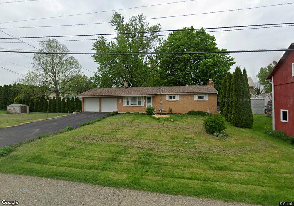
64 W 2nd St Fredericktown, OH 43019
Estimated Value: $107,000 - $241,540
3
Beds
3
Baths
1,100
Sq Ft
$177/Sq Ft
Est. Value
About This Home
This home is located at 64 W 2nd St, Fredericktown, OH 43019 and is currently estimated at $194,635, approximately $176 per square foot. 64 W 2nd St is a home located in Knox County with nearby schools including Fredericktown Elementary School, Fredericktown Middle School, and Fredericktown High School.
Ownership History
Date
Name
Owned For
Owner Type
Purchase Details
Closed on
Jun 14, 1999
Sold by
Phillips Carolyn I
Bought by
Phillips Carolyn I and Winget Ron
Current Estimated Value
Purchase Details
Closed on
Apr 1, 1998
Sold by
Long Carl E and Long Debra D
Bought by
Phillips Carolyn I
Purchase Details
Closed on
Oct 11, 1989
Sold by
Bishop Paula Caywood
Bought by
Long Carl E and Long Debra D
Create a Home Valuation Report for This Property
The Home Valuation Report is an in-depth analysis detailing your home's value as well as a comparison with similar homes in the area
Home Values in the Area
Average Home Value in this Area
Purchase History
| Date | Buyer | Sale Price | Title Company |
|---|---|---|---|
| Phillips Carolyn I | -- | -- | |
| Phillips Carolyn I | $85,000 | -- | |
| Long Carl E | $46,000 | -- |
Source: Public Records
Tax History
| Year | Tax Paid | Tax Assessment Tax Assessment Total Assessment is a certain percentage of the fair market value that is determined by local assessors to be the total taxable value of land and additions on the property. | Land | Improvement |
|---|---|---|---|---|
| 2024 | $2,226 | $55,850 | $9,000 | $46,850 |
| 2023 | $2,233 | $55,850 | $9,000 | $46,850 |
| 2022 | $1,761 | $38,520 | $6,210 | $32,310 |
| 2021 | $1,761 | $38,520 | $6,210 | $32,310 |
| 2020 | $1,735 | $38,520 | $6,210 | $32,310 |
| 2019 | $1,597 | $33,670 | $6,710 | $26,960 |
| 2018 | $1,597 | $33,670 | $6,710 | $26,960 |
| 2017 | $1,573 | $33,670 | $6,710 | $26,960 |
| 2016 | $1,464 | $31,170 | $6,210 | $24,960 |
| 2015 | $1,371 | $31,170 | $6,210 | $24,960 |
| 2014 | $1,374 | $31,170 | $6,210 | $24,960 |
| 2013 | $1,597 | $34,190 | $5,840 | $28,350 |
Source: Public Records
Map
Nearby Homes
- 55 Colony Dr
- 203 Taylor St
- 53 Zent Ave
- 14 Summit Dr
- 6 Adena Ct
- 35 W Mound St
- 0 Upper Fredericktown Rd
- 11810 Woodview Ln
- 9136 Mount Gilead Rd
- 12700 Hilltop Dr
- 12760 Hilltop Dr
- 9171 Sparta Rd
- 0 Crooked Street Land Split 2
- 13919 Upper Fredericktown Rd
- 13683 Upper Fredericktown Rd
- 0 Crooked St
- 14021 Old Mansfield Rd
- 14281 N Liberty Rd
- 14835 Indian Hills Rd
- 0 Indian Hills Rd
- 31 N Mulberry St
- 59 W College St
- 75 W College St
- 17 N Mulberry St
- 17 N Mulberry St
- 85 W College St
- 49 W College St
- 30 N Mulberry St
- 68 W Sandusky St
- 64 W Sandusky St
- 76 W College St
- 64 W College St
- 104 W 2nd St
- 60 W College St
- 18 N Mulberry St
- 43 W College St
- 43 W College St
- 84 W Sandusky St
- 70 W College St
- 91 W College St
Your Personal Tour Guide
Ask me questions while you tour the home.