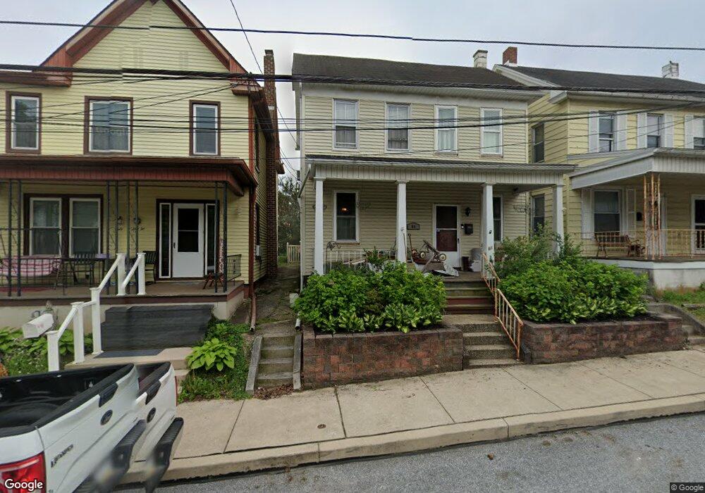
64 W Maple St Dallastown, PA 17313
Estimated Value: $169,901 - $215,000
3
Beds
1
Bath
1,294
Sq Ft
$150/Sq Ft
Est. Value
About This Home
This home is located at 64 W Maple St, Dallastown, PA 17313 and is currently estimated at $194,225, approximately $150 per square foot. 64 W Maple St is a home located in York County with nearby schools including Dallastown Elementary School, Dallastown Area Middle School, and Dallastown Area High School.
Ownership History
Date
Name
Owned For
Owner Type
Purchase Details
Closed on
Sep 30, 2009
Sold by
Erisman Joan E and Erisman Dennis A
Bought by
Weikel Matthew J and Bupp Raechel L
Current Estimated Value
Home Financials for this Owner
Home Financials are based on the most recent Mortgage that was taken out on this home.
Original Mortgage
$123,420
Outstanding Balance
$80,838
Interest Rate
5.14%
Mortgage Type
New Conventional
Estimated Equity
$113,387
Purchase Details
Closed on
Jun 17, 1993
Bought by
Kelly Joan E
Create a Home Valuation Report for This Property
The Home Valuation Report is an in-depth analysis detailing your home's value as well as a comparison with similar homes in the area
Home Values in the Area
Average Home Value in this Area
Purchase History
| Date | Buyer | Sale Price | Title Company |
|---|---|---|---|
| Weikel Matthew J | $121,000 | None Available | |
| Kelly Joan E | $62,500 | -- |
Source: Public Records
Mortgage History
| Date | Status | Borrower | Loan Amount |
|---|---|---|---|
| Open | Weikel Matthew J | $123,420 |
Source: Public Records
Tax History Compared to Growth
Tax History
| Year | Tax Paid | Tax Assessment Tax Assessment Total Assessment is a certain percentage of the fair market value that is determined by local assessors to be the total taxable value of land and additions on the property. | Land | Improvement |
|---|---|---|---|---|
| 2025 | $2,541 | $73,140 | $19,920 | $53,220 |
| 2024 | $2,541 | $73,140 | $19,920 | $53,220 |
| 2023 | $2,541 | $73,140 | $19,920 | $53,220 |
| 2022 | $2,460 | $73,140 | $19,920 | $53,220 |
| 2021 | $2,319 | $73,140 | $19,920 | $53,220 |
| 2020 | $2,319 | $73,140 | $19,920 | $53,220 |
| 2019 | $2,312 | $73,140 | $19,920 | $53,220 |
| 2018 | $2,312 | $73,140 | $19,920 | $53,220 |
| 2017 | $2,222 | $73,140 | $19,920 | $53,220 |
| 2016 | $0 | $73,140 | $19,920 | $53,220 |
| 2015 | -- | $73,140 | $19,920 | $53,220 |
| 2014 | -- | $73,140 | $19,920 | $53,220 |
Source: Public Records
Map
Nearby Homes
- 263 W Main St
- 18 E Howard St
- 53 S Franklin St
- 79 S Franklin St
- 197 S Main St
- 430 E Maple St
- 117 S Park St
- 74 S Main St
- 2981 Sunset Dr
- 1 N Duke St
- 141 W Water St
- 0 Lot 15 Gary Dr
- 705 Summit Dr
- 114 Heather Glen Dr
- 227 Jutland Way
- 630 Woodland Ave
- 2960 Starfire Dr
- 680 Hampstead Ct
- 55 Belmar Dr
- 260 Country Ridge Dr