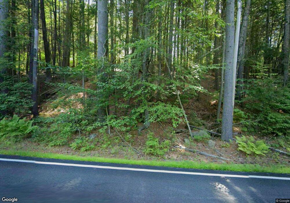
64 Wendell Rd Warwick, MA 01378
Warwick NeighborhoodEstimated Value: $264,000 - $355,000
1
Bed
1
Bath
896
Sq Ft
$339/Sq Ft
Est. Value
About This Home
This home is located at 64 Wendell Rd, Warwick, MA 01378 and is currently estimated at $304,035, approximately $339 per square foot. 64 Wendell Rd is a home with nearby schools including Pioneer Valley Regional.
Ownership History
Date
Name
Owned For
Owner Type
Purchase Details
Closed on
Aug 14, 2025
Sold by
Spofford Andrew C
Bought by
Spofford Andrew C and Spofford Jennifer L
Current Estimated Value
Home Financials for this Owner
Home Financials are based on the most recent Mortgage that was taken out on this home.
Original Mortgage
$45,000
Outstanding Balance
$44,921
Interest Rate
6.67%
Mortgage Type
Second Mortgage Made To Cover Down Payment
Estimated Equity
$259,114
Purchase Details
Closed on
Nov 30, 2015
Sold by
Humphries Michael L
Bought by
Spofford Andrew C
Home Financials for this Owner
Home Financials are based on the most recent Mortgage that was taken out on this home.
Original Mortgage
$40,000
Interest Rate
3.87%
Mortgage Type
New Conventional
Purchase Details
Closed on
Jun 11, 2009
Sold by
Lepore Philip A and Lepore Janice J
Bought by
Humphries Michael L
Home Financials for this Owner
Home Financials are based on the most recent Mortgage that was taken out on this home.
Original Mortgage
$21,000
Interest Rate
4.82%
Mortgage Type
Purchase Money Mortgage
Purchase Details
Closed on
Apr 9, 2003
Sold by
Kolka Robert R
Bought by
Rodriguez Carmen
Create a Home Valuation Report for This Property
The Home Valuation Report is an in-depth analysis detailing your home's value as well as a comparison with similar homes in the area
Home Values in the Area
Average Home Value in this Area
Purchase History
| Date | Buyer | Sale Price | Title Company |
|---|---|---|---|
| Spofford Andrew C | -- | -- | |
| Spofford Andrew C | -- | -- | |
| Spofford Andrew C | $50,000 | -- | |
| Spofford Andrew C | $50,000 | -- | |
| Humphries Michael L | $33,000 | -- | |
| Humphries Michael L | $33,000 | -- | |
| Humphries Michael L | $33,000 | -- | |
| Rodriguez Carmen | $5,500 | -- |
Source: Public Records
Mortgage History
| Date | Status | Borrower | Loan Amount |
|---|---|---|---|
| Open | Spofford Andrew C | $45,000 | |
| Closed | Spofford Andrew C | $45,000 | |
| Previous Owner | Spofford Andrew C | $40,000 | |
| Previous Owner | Humphries Michael L | $21,000 |
Source: Public Records
Tax History Compared to Growth
Tax History
| Year | Tax Paid | Tax Assessment Tax Assessment Total Assessment is a certain percentage of the fair market value that is determined by local assessors to be the total taxable value of land and additions on the property. | Land | Improvement |
|---|---|---|---|---|
| 2025 | $3,551 | $199,700 | $30,300 | $169,400 |
| 2024 | $3,323 | $200,800 | $30,300 | $170,500 |
| 2023 | $2,914 | $144,900 | $30,300 | $114,600 |
| 2022 | $2,988 | $141,800 | $32,400 | $109,400 |
| 2021 | $2,542 | $129,500 | $29,200 | $100,300 |
| 2020 | $2,681 | $131,600 | $29,400 | $102,200 |
| 2019 | $1,007 | $47,400 | $29,400 | $18,000 |
| 2018 | $1,026 | $47,400 | $29,400 | $18,000 |
| 2017 | $953 | $47,400 | $29,400 | $18,000 |
| 2016 | $602 | $29,400 | $29,400 | $0 |
| 2015 | $689 | $34,600 | $34,600 | $0 |
Source: Public Records
Map
Nearby Homes
- 0 Northfield Rd Unit 73441997
- Lot 14 Northfield Rd
- 0 Sears St Unit 23759828
- 0, Lot 2 Flower Hill Rd
- 0, Lot 1 Flower Hill Rd
- 115 Town Farm Rd
- LOT Walnut Hill
- 900 N Main St
- 22 Old Turnpike Rd
- 15 A-B Tully Rd
- 14 Wood Way
- 4 Elm Ave
- 294 Capt Beers Plain Rd
- 350 Athol Richmond Rd
- 62 E Main St
- 10 E Prospect St
- 37 Cottage St
- 166-168 W Main St
- 260 East Rd
- 39 Terrace St
- 33 Wendell Rd
- Parcel 1 Off Robbins Rd
- Parcel 6B Orange Rd
- 110 Wendell Rd
- 25 N Holden Rd
- 0 Holden Rd Unit 71053304
- 0 Holden Rd Unit 30122461
- Lot 2 Wendell Rd
- 0 E Wilson Rd Unit 71831092
- Lots 1 & 2 Wendell Rd
- Lot 1 Wendell Rd
- 1 Wendell Rd
- 111 Northfield Rd
- 99 Northfield Rd
- 136 Wendell Rd
- 15 Chestnut Hill Rd
- 139 Wendell Rd
- 28 Revere Hill Rd
- 164 Wendell Rd
- 5 Chestnut Hill Rd
