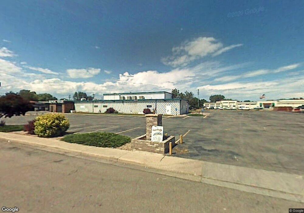
640 19th Ave Longmont, CO 80501
Business District NeighborhoodEstimated Value: $1,783,031
--
Bed
--
Bath
11,850
Sq Ft
$150/Sq Ft
Est. Value
About This Home
This home is located at 640 19th Ave, Longmont, CO 80501 and is currently estimated at $1,783,031, approximately $150 per square foot. 640 19th Ave is a home located in Boulder County with nearby schools including Northridge Elementary School, Longs Peak Middle School, and Longmont High School.
Ownership History
Date
Name
Owned For
Owner Type
Purchase Details
Closed on
Nov 1, 2018
Sold by
Martinez Max J and Martinez Cindy L
Bought by
640 Llc
Current Estimated Value
Home Financials for this Owner
Home Financials are based on the most recent Mortgage that was taken out on this home.
Original Mortgage
$975,000
Outstanding Balance
$358,350
Interest Rate
4.6%
Mortgage Type
Purchase Money Mortgage
Estimated Equity
$1,437,766
Purchase Details
Closed on
Apr 20, 1998
Sold by
Bragg T A and Bragg Tracy D
Bought by
Martinez Max J
Home Financials for this Owner
Home Financials are based on the most recent Mortgage that was taken out on this home.
Original Mortgage
$355,000
Interest Rate
9%
Mortgage Type
Commercial
Purchase Details
Closed on
Oct 28, 1980
Bought by
Martinez Max J and Martinez Cindy L
Purchase Details
Closed on
Mar 20, 1980
Bought by
Martinez Max J and Martinez Cindy L
Create a Home Valuation Report for This Property
The Home Valuation Report is an in-depth analysis detailing your home's value as well as a comparison with similar homes in the area
Home Values in the Area
Average Home Value in this Area
Purchase History
| Date | Buyer | Sale Price | Title Company |
|---|---|---|---|
| 640 Llc | $1,300,000 | Fidelity National Title | |
| Martinez Max J | $302,748 | -- | |
| Martinez Max J | -- | -- | |
| Martinez Max J | $563,000 | -- |
Source: Public Records
Mortgage History
| Date | Status | Borrower | Loan Amount |
|---|---|---|---|
| Open | 640 Llc | $975,000 | |
| Previous Owner | Martinez Max J | $355,000 |
Source: Public Records
Tax History Compared to Growth
Tax History
| Year | Tax Paid | Tax Assessment Tax Assessment Total Assessment is a certain percentage of the fair market value that is determined by local assessors to be the total taxable value of land and additions on the property. | Land | Improvement |
|---|---|---|---|---|
| 2025 | $40,565 | $418,500 | $148,500 | $270,000 |
| 2024 | $40,565 | $418,500 | $148,500 | $270,000 |
| 2023 | $40,012 | $424,080 | $153,450 | $279,000 |
| 2022 | $27,142 | $274,282 | $86,420 | $187,862 |
| 2021 | $26,724 | $274,282 | $86,420 | $187,862 |
| 2020 | $24,874 | $256,070 | $86,420 | $169,650 |
| 2019 | $24,482 | $256,070 | $86,420 | $169,650 |
| 2018 | $19,204 | $202,174 | $60,703 | $141,471 |
| 2017 | $18,943 | $202,174 | $60,703 | $141,471 |
| 2016 | $13,803 | $144,409 | $42,473 | $101,936 |
| 2015 | $13,154 | $141,578 | $115,623 | $25,955 |
| 2014 | $13,224 | $141,578 | $115,623 | $25,955 |
Source: Public Records
Map
Nearby Homes
- 1933 Emery St
- 1877 Queens Dr
- 1005 Harmon Place
- 22 Emery Way
- 1852 Gay St
- 1838 Gay St
- 951 17th Ave Unit 95
- 729 17th Ave Unit 16
- 729 17th Ave Unit 46
- 831 17th Ave Unit 14
- 1818 Atwood St
- 2213 Emery St Unit C
- 1943 Meadow Dr Unit B2
- 2144 Collyer St
- 1771 Centennial Dr
- 2143 Meadow Ct
- 2148 Meadow Ct
- 1700 Jewel Dr
- 1547 Cushman Ct
- 1408 17th Ave
- 1916 Terry St
- 659 20th Ave
- 1935 Main St
- 651 20th Ave
- 1913 Terry St
- 1849 Main St
- 1901 Terry St
- 1950 Terry St
- 1917 Terry St Unit 1925
- 1885 Terry St Unit 15
- 1885 Terry St Unit 14
- 1885 Terry St Unit 13
- 1885 Terry St Unit 12
- 1885 Terry St Unit 11
- 1885 Terry St Unit 10
- 1885 Terry St Unit 9
- 1885 Terry St Unit 8
- 1885 Terry St Unit 7
- 1885 Terry St Unit 6
- 1885 Terry St Unit 5