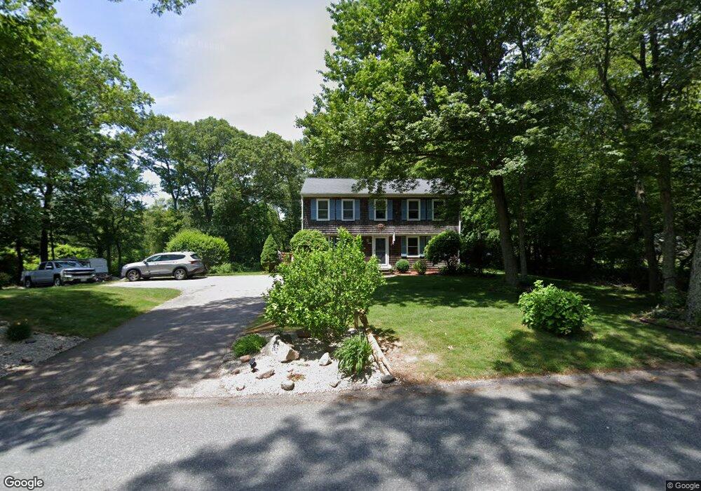
640 Broad Rock Rd Wakefield, RI 02879
Estimated Value: $578,000 - $744,000
4
Beds
2
Baths
1,908
Sq Ft
$360/Sq Ft
Est. Value
About This Home
This home is located at 640 Broad Rock Rd, Wakefield, RI 02879 and is currently estimated at $687,381, approximately $360 per square foot. 640 Broad Rock Rd is a home located in Washington County with nearby schools including South Kingstown High School, Monsignor Matthew Clarke Catholic Regional School, and South Shore School.
Ownership History
Date
Name
Owned For
Owner Type
Purchase Details
Closed on
Mar 19, 2024
Sold by
Thomas Timothy M and Thomas Kathleen A
Bought by
Thomas Flt and Thomas T
Current Estimated Value
Purchase Details
Closed on
Jun 1, 1992
Sold by
Lobdell William A
Bought by
Thomas Timothy M
Create a Home Valuation Report for This Property
The Home Valuation Report is an in-depth analysis detailing your home's value as well as a comparison with similar homes in the area
Home Values in the Area
Average Home Value in this Area
Purchase History
| Date | Buyer | Sale Price | Title Company |
|---|---|---|---|
| Thomas Flt | -- | None Available | |
| Thomas Timothy M | $125,000 | -- | |
| Thomas Timothy M | $125,000 | -- |
Source: Public Records
Mortgage History
| Date | Status | Borrower | Loan Amount |
|---|---|---|---|
| Previous Owner | Thomas Timothy M | $100,000 | |
| Previous Owner | Thomas Timothy M | $155,000 | |
| Previous Owner | Thomas Timothy M | $125,000 |
Source: Public Records
Tax History Compared to Growth
Tax History
| Year | Tax Paid | Tax Assessment Tax Assessment Total Assessment is a certain percentage of the fair market value that is determined by local assessors to be the total taxable value of land and additions on the property. | Land | Improvement |
|---|---|---|---|---|
| 2025 | $4,801 | $537,000 | $210,400 | $326,600 |
| 2024 | $4,865 | $440,300 | $162,900 | $277,400 |
| 2023 | $4,865 | $440,300 | $162,900 | $277,400 |
| 2022 | $4,821 | $440,300 | $162,900 | $277,400 |
| 2021 | $4,951 | $342,600 | $134,800 | $207,800 |
| 2020 | $4,951 | $342,600 | $134,800 | $207,800 |
| 2019 | $4,951 | $342,600 | $134,800 | $207,800 |
| 2018 | $4,960 | $316,300 | $130,400 | $185,900 |
| 2017 | $4,843 | $316,300 | $130,400 | $185,900 |
| 2016 | $4,773 | $316,300 | $130,400 | $185,900 |
| 2015 | $4,628 | $298,200 | $123,100 | $175,100 |
| 2014 | $4,616 | $298,200 | $123,100 | $175,100 |
Source: Public Records
Map
Nearby Homes
- 32 Woodmist Cir
- 957 Saugatucket Rd
- 294 Rose Hill Rd
- 128 North Rd
- 229 Saugatucket Rd
- 70 Broad Rock Rd
- 3 Larkin St
- 53 Rocky Brook Way
- 40 Amos St
- 95 S Woods Dr
- 0 Indian Trail Trail S Unit 1389828
- 73 Camden Ct
- 228 Rodman St
- 128 Camden Ct
- 14 Vespia Ln Unit B
- 0 Vespia Dr Unit 1317499
- 42 Vespia Ln
- 50 Vespia Ln
- 48 Stone Bridge Dr
- 54 Vespia Ln
- 621 Saugatucket Rd
- 668 Broad Rock Rd
- 1230 Saugatucket Rd
- 655 Saugatucket Rd
- 670 Broad Rock Rd
- 603 Saugatucket Rd
- 597 Saugatucket Rd
- 675 Saugatucket Rd
- 581 Saugatucket Rd
- 590 Saugatucket Rd
- 707 Broad Rock Rd
- 575 Saugatucket Rd
- 574 Saugatucket Rd
- 567 Saugatucket Rd
- 571 Broad Rock Rd
- 561 Saugatucket Rd
- 551 Broad Rock Rd
- 60 Dry Creek Way
- 723 Broad Rock Rd
- 552 Saugatucket Rd