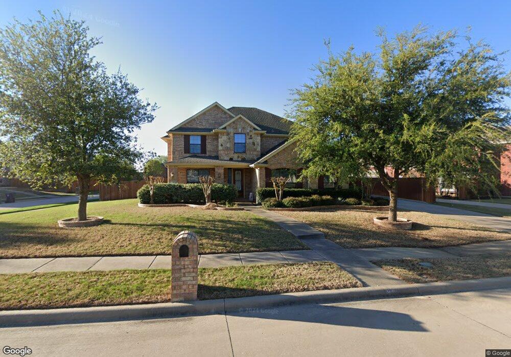
640 Fall Wheat Dr Murphy, TX 75094
Estimated Value: $674,000 - $720,000
4
Beds
4
Baths
3,933
Sq Ft
$176/Sq Ft
Est. Value
About This Home
This home is located at 640 Fall Wheat Dr, Murphy, TX 75094 and is currently estimated at $693,819, approximately $176 per square foot. 640 Fall Wheat Dr is a home located in Collin County with nearby schools including Tibbals Elementary School, Dr. Al Draper Intermediate Middle School, and Raymond B Cooper J High School.
Ownership History
Date
Name
Owned For
Owner Type
Purchase Details
Closed on
Mar 12, 2009
Sold by
Standard Pacific Of Texas Inc
Bought by
Williams Milagros and Williams Dennis M
Current Estimated Value
Home Financials for this Owner
Home Financials are based on the most recent Mortgage that was taken out on this home.
Original Mortgage
$90,000
Interest Rate
5.06%
Mortgage Type
Purchase Money Mortgage
Create a Home Valuation Report for This Property
The Home Valuation Report is an in-depth analysis detailing your home's value as well as a comparison with similar homes in the area
Home Values in the Area
Average Home Value in this Area
Purchase History
| Date | Buyer | Sale Price | Title Company |
|---|---|---|---|
| Williams Milagros | -- | Fatco |
Source: Public Records
Mortgage History
| Date | Status | Borrower | Loan Amount |
|---|---|---|---|
| Closed | Williams Milagros | $90,000 |
Source: Public Records
Tax History
| Year | Tax Paid | Tax Assessment Tax Assessment Total Assessment is a certain percentage of the fair market value that is determined by local assessors to be the total taxable value of land and additions on the property. | Land | Improvement |
|---|---|---|---|---|
| 2025 | $6,370 | $646,111 | $168,000 | $478,111 |
| 2024 | $6,370 | $619,535 | $147,000 | $537,598 |
| 2023 | $6,370 | $563,214 | $147,000 | $517,146 |
| 2022 | $10,735 | $512,013 | $126,000 | $466,877 |
| 2021 | $10,259 | $465,466 | $105,000 | $360,466 |
| 2020 | $10,514 | $459,231 | $94,500 | $364,731 |
| 2019 | $11,019 | $460,642 | $94,500 | $366,142 |
| 2018 | $10,443 | $432,933 | $94,500 | $338,433 |
| 2017 | $10,488 | $438,764 | $94,500 | $344,264 |
| 2016 | $9,643 | $413,651 | $94,500 | $319,151 |
| 2015 | $8,121 | $359,351 | $66,150 | $293,201 |
Source: Public Records
Map
Nearby Homes
- 802 Appalachian Dr
- 3602 Barberry Dr
- 730 Rosewood Dr
- 605 Althea Dr
- 728 Morningside Trail
- 413 Royal Oak Dr
- 509 Camrose Ln
- 563 John Ross Rd
- 313 Cave River Dr
- 337 Bobby Ave
- 3203 Kingsbrook Dr
- 138 Creekside Dr
- 401 N Maxwell Creek Rd
- 1205 Periwinkle Dr
- 3111 Candlebrook Dr
- 1009 Chesterfield Dr
- 310 Admiral Dr
- 501 Windward Dr
- 930 Cowboy Ct
- 2916 Preston Ln
- 636 Fall Wheat Dr
- 637 Sundown Way
- 601 Twin Valley Dr
- 641 Fall Wheat Dr
- 605 Twin Valley Dr
- 637 Fall Wheat Dr
- 701 Sundown Way
- 632 Fall Wheat Dr
- 633 Sundown Way
- 609 Twin Valley Dr
- 633 Fall Wheat Dr
- 705 Sundown Way
- 613 Twin Valley Dr
- 604 Paint Creek Ct
- 629 Fall Wheat Dr
- 628 Fall Wheat Dr
- 640 Maize Rd
- 644 Maize Rd
- 629 Sundown Way
- 636 Sundown Way
Your Personal Tour Guide
Ask me questions while you tour the home.