640 Gold Ridge Ln Blocksburg, CA 95514
Estimated Value: $261,000 - $515,522
--
Bed
--
Bath
--
Sq Ft
99
Acres
About This Home
This home is located at 640 Gold Ridge Ln, Blocksburg, CA 95514 and is currently estimated at $371,174. 640 Gold Ridge Ln is a home located in Humboldt County.
Ownership History
Date
Name
Owned For
Owner Type
Purchase Details
Closed on
Feb 10, 2021
Sold by
Hrynkiewicz Daniel E and Hrynkiewicz Shaunda Y
Bought by
Hrynkiewicz Daniel E and Hrynkiewicz Shaunda Y
Current Estimated Value
Purchase Details
Closed on
Aug 26, 2004
Sold by
Hrynkiewicz Dan and Hrynkiewicz Shaunda Y
Bought by
Hrynkiewicz Dan E and Hrynkiewicz Shaunda Y
Home Financials for this Owner
Home Financials are based on the most recent Mortgage that was taken out on this home.
Original Mortgage
$50,000
Interest Rate
5.95%
Mortgage Type
New Conventional
Create a Home Valuation Report for This Property
The Home Valuation Report is an in-depth analysis detailing your home's value as well as a comparison with similar homes in the area
Home Values in the Area
Average Home Value in this Area
Purchase History
| Date | Buyer | Sale Price | Title Company |
|---|---|---|---|
| Hrynkiewicz Daniel E | -- | None Available | |
| Hrynkiewicz Dan E | -- | First American Title Ins Co |
Source: Public Records
Mortgage History
| Date | Status | Borrower | Loan Amount |
|---|---|---|---|
| Closed | Hrynkiewicz Dan E | $50,000 |
Source: Public Records
Tax History Compared to Growth
Tax History
| Year | Tax Paid | Tax Assessment Tax Assessment Total Assessment is a certain percentage of the fair market value that is determined by local assessors to be the total taxable value of land and additions on the property. | Land | Improvement |
|---|---|---|---|---|
| 2025 | $2,555 | $214,648 | $38,276 | $176,372 |
| 2024 | $2,555 | $231,790 | $37,526 | $194,264 |
| 2023 | $2,473 | $218,797 | $36,791 | $182,006 |
| 2022 | $2,924 | $259,002 | $36,070 | $222,932 |
| 2021 | $2,838 | $256,346 | $35,363 | $220,983 |
| 2020 | $2,870 | $254,985 | $35,001 | $219,984 |
| 2019 | $3,067 | $274,782 | $34,315 | $240,467 |
| 2018 | $2,946 | $263,140 | $33,643 | $229,497 |
| 2017 | $3,400 | $293,288 | $32,984 | $260,304 |
| 2016 | $2,988 | $252,092 | $32,338 | $219,754 |
| 2015 | -- | $343,917 | $31,853 | $312,064 |
| 2014 | -- | $373,227 | $31,230 | $341,997 |
Source: Public Records
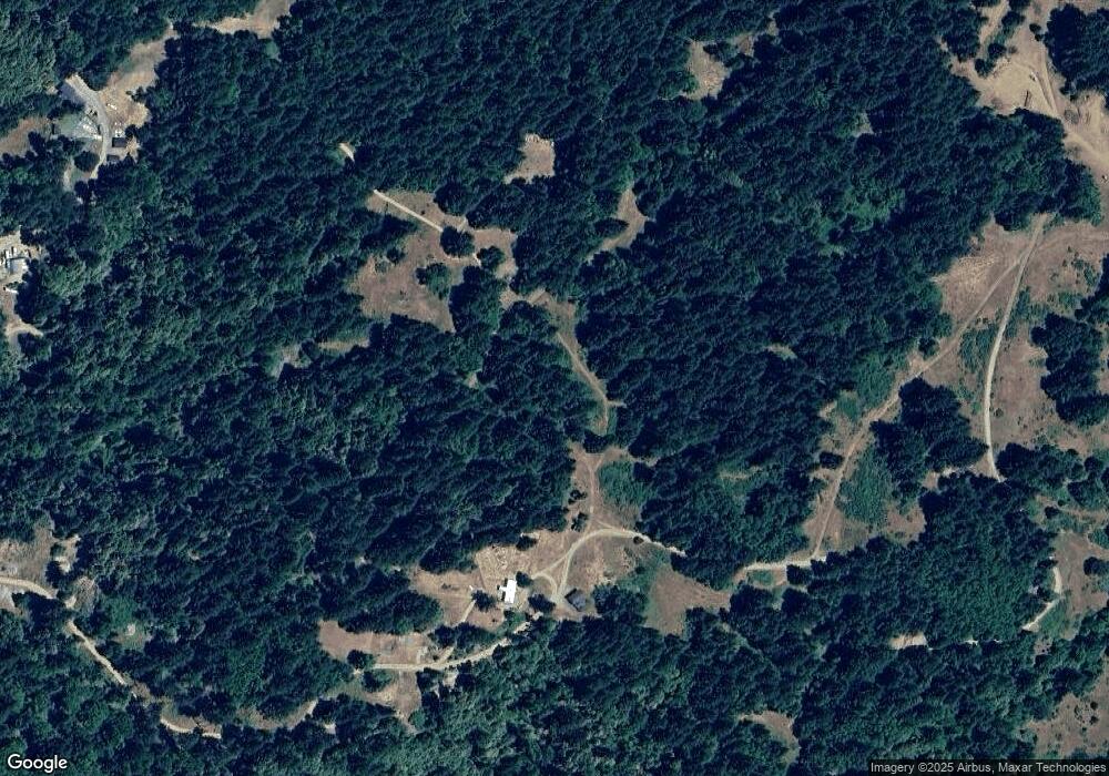
Map
Nearby Homes
- 36111 Alderpoint Rd
- 35082 Alderpoint Rd
- 2522 Sunset Ridge Rd
- 00 Sunset Ridge Rd
- 12491 Mad River Rd
- 2027 Sunset Ridge Rd
- 20 +/- Acres Burr Valley Rd
- 9819 Dyerville Loop Rd
- 10167 Dyerville Loop Rd
- 32530 California 36
- 0 Little Larabee Creek Rd Unit 270513
- 0 Burr Valley Rd Unit 270599
- 000 Burr Valley Rd
- 42 Mm California 36
- +/- 40 Acres Buck Mountain Rd
- 29860 State Highway 36
- 000 Stagecoach Rd
- 40600 California 36
- 38819 Kneeland Rd
- 41500 California 36