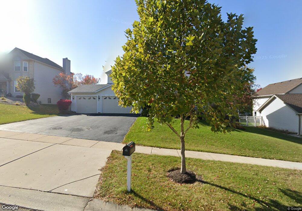
640 Kirkland Dr Algonquin, IL 60102
High Hill Farms NeighborhoodEstimated Value: $404,870 - $514,000
Studio
1
Bath
2,256
Sq Ft
$201/Sq Ft
Est. Value
About This Home
This home is located at 640 Kirkland Dr, Algonquin, IL 60102 and is currently estimated at $452,968, approximately $200 per square foot. 640 Kirkland Dr is a home located in McHenry County with nearby schools including Westfield Community School, Kenneth E Neubert Elementary School, and Harry D Jacobs High School.
Ownership History
Date
Name
Owned For
Owner Type
Purchase Details
Closed on
Jun 3, 2004
Sold by
Almeda Gilbert and Santos Esther
Bought by
Almeda Gilbert S
Current Estimated Value
Home Financials for this Owner
Home Financials are based on the most recent Mortgage that was taken out on this home.
Original Mortgage
$317,300
Outstanding Balance
$162,848
Interest Rate
6.75%
Mortgage Type
Unknown
Estimated Equity
$290,120
Purchase Details
Closed on
Oct 31, 1997
Sold by
United Homes Inc
Bought by
Almeda Gilbert and Santos Fernando
Home Financials for this Owner
Home Financials are based on the most recent Mortgage that was taken out on this home.
Original Mortgage
$174,200
Interest Rate
7.51%
Create a Home Valuation Report for This Property
The Home Valuation Report is an in-depth analysis detailing your home's value as well as a comparison with similar homes in the area
Home Values in the Area
Average Home Value in this Area
Purchase History
| Date | Buyer | Sale Price | Title Company |
|---|---|---|---|
| Almeda Gilbert S | -- | Lawyers Title Ins | |
| Almeda Gilbert | $197,500 | -- |
Source: Public Records
Mortgage History
| Date | Status | Borrower | Loan Amount |
|---|---|---|---|
| Open | Almeda Gilbert S | $317,300 | |
| Closed | Almeda Gilbert | $174,200 |
Source: Public Records
Tax History
| Year | Tax Paid | Tax Assessment Tax Assessment Total Assessment is a certain percentage of the fair market value that is determined by local assessors to be the total taxable value of land and additions on the property. | Land | Improvement |
|---|---|---|---|---|
| 2024 | $9,483 | $129,225 | $23,539 | $105,686 |
| 2023 | $9,005 | $115,576 | $21,053 | $94,523 |
| 2022 | $9,136 | $112,533 | $21,044 | $91,489 |
| 2021 | $8,770 | $104,838 | $19,605 | $85,233 |
| 2020 | $8,542 | $101,127 | $18,911 | $82,216 |
| 2019 | $8,337 | $96,791 | $18,100 | $78,691 |
| 2018 | $7,951 | $89,415 | $16,721 | $72,694 |
| 2017 | $7,791 | $84,234 | $15,752 | $68,482 |
| 2016 | $7,677 | $79,004 | $14,774 | $64,230 |
| 2013 | -- | $73,205 | $13,783 | $59,422 |
Source: Public Records
Map
Nearby Homes
- 681 Majestic Dr
- 1920 Jester Ln
- 760 Regal Ln
- 1820 Crofton Dr
- 700 Fairfield Ln
- 2380 Dawson Ln Unit 165
- 1157 Sawmill Ln
- 1002 Interloch Ct Unit 152
- 145 S Oakleaf Rd
- 135 Arquilla Dr
- 7 Falcon Ridge Ct
- 1431 Essex St
- 2051 Carlisle St
- 1354 Essex St Unit 2
- 1 N Hubbard St
- SWC Talaga and Algonquin Rd
- 14 Wander Way
- 20 Peach Tree Ct Unit 4153
- 18 Peach Tree Ct Unit 4154
- 113 Pheasant Trail
- 650 Kirkland Dr
- 630 Kirkland Dr
- 631 Regal Ln
- 641 Regal Ln
- 660 Kirkland Dr
- 651 Kirkland Dr
- 620 Kirkland Dr
- 641 Kirkland Dr
- 651 Regal Ln
- 621 Regal Ln
- 661 Kirkland Dr
- 631 Kirkland Dr
- 671 Kirkland Dr
- 670 Kirkland Dr Unit 12
- 630 Regal Ln
- 640 Regal Ln
- 622 Chatham Cir
- 620 Chatham Cir
- 624 Chatham Cir
- 591 Majestic Dr
Your Personal Tour Guide
Ask me questions while you tour the home.