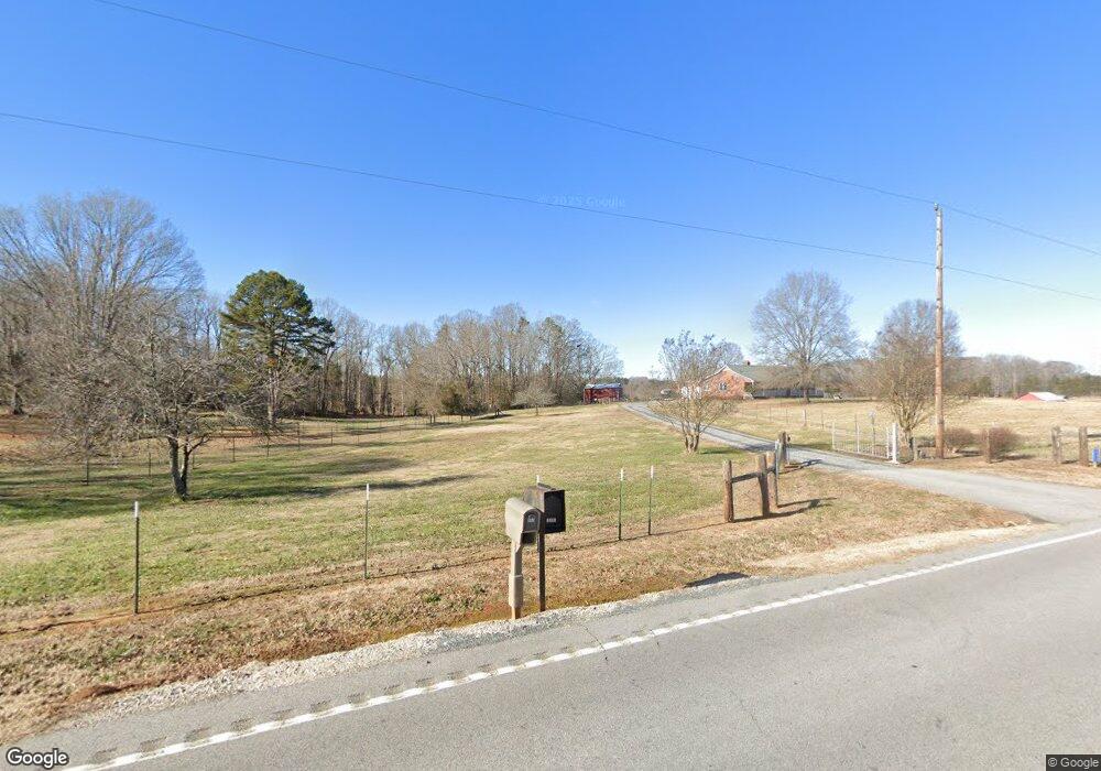
640 N Kingsburry Rd Clover, SC 29710
Estimated Value: $343,932 - $385,000
2
Beds
2
Baths
1,400
Sq Ft
$261/Sq Ft
Est. Value
About This Home
This home is located at 640 N Kingsburry Rd, Clover, SC 29710 and is currently estimated at $365,233, approximately $260 per square foot. 640 N Kingsburry Rd is a home located in York County with nearby schools including Bethel Elementary School, Oakridge Middle School, and Clover High School.
Ownership History
Date
Name
Owned For
Owner Type
Purchase Details
Closed on
Dec 18, 2015
Sold by
Mccall Robert C
Bought by
Hodge William B and Hodge Allison
Current Estimated Value
Home Financials for this Owner
Home Financials are based on the most recent Mortgage that was taken out on this home.
Original Mortgage
$132,000
Outstanding Balance
$104,771
Interest Rate
3.98%
Mortgage Type
New Conventional
Estimated Equity
$260,462
Purchase Details
Closed on
Jun 10, 2004
Sold by
Ferguson Willis B and Ferguson W
Bought by
Mccall Robert C
Create a Home Valuation Report for This Property
The Home Valuation Report is an in-depth analysis detailing your home's value as well as a comparison with similar homes in the area
Home Values in the Area
Average Home Value in this Area
Purchase History
| Date | Buyer | Sale Price | Title Company |
|---|---|---|---|
| Hodge William B | $165,000 | -- | |
| Mccall Robert C | $159,000 | -- |
Source: Public Records
Mortgage History
| Date | Status | Borrower | Loan Amount |
|---|---|---|---|
| Open | Hodge William B | $132,000 |
Source: Public Records
Tax History Compared to Growth
Tax History
| Year | Tax Paid | Tax Assessment Tax Assessment Total Assessment is a certain percentage of the fair market value that is determined by local assessors to be the total taxable value of land and additions on the property. | Land | Improvement |
|---|---|---|---|---|
| 2024 | $979 | $6,927 | $2,501 | $4,426 |
| 2023 | $1,004 | $6,927 | $2,501 | $4,426 |
| 2022 | $827 | $6,927 | $2,501 | $4,426 |
| 2021 | -- | $6,927 | $2,501 | $4,426 |
| 2020 | $784 | $6,927 | $0 | $0 |
| 2019 | $744 | $6,024 | $0 | $0 |
| 2018 | $748 | $6,024 | $0 | $0 |
| 2017 | $696 | $6,024 | $0 | $0 |
| 2016 | $656 | $6,024 | $0 | $0 |
| 2014 | $2,512 | $8,226 | $3,246 | $4,980 |
| 2013 | $2,512 | $8,346 | $3,246 | $5,100 |
Source: Public Records
Map
Nearby Homes
- 179 N Paraham Rd
- 2599 Highway 557 None
- 514 Bethel School Rd
- 1965 Leesburg Dr
- 1961 Leesburg Dr
- 1958 Leesburg Dr
- 1617 Fig Branch Rd
- 1037 Jack Pine Rd
- 221 Burree Rd
- 1326 Tupelo Rd
- 3131 Balkan Dr
- 3107 Balkan Dr
- 1129 Black Walnut Rd
- 1909 Leesburg Dr
- 558 Red Wolf Ln
- 109 Highland Forest Dr
- 3040 Patrick Place Cir
- 233 Highland Forest Dr
- 1141 Black Walnut Rd
- 10.64 AC Burree Rd
- 648 Kingsburry Rd
- 680 Kingsburry Rd
- 680 Kingsburry Rd
- 11.47 Ac Kingsburry Rd
- 643 Kingsburry Rd
- 667 Kingsburry Rd
- 580 Kingsburry Rd
- 677 Kingsburry Rd
- 685 N Kingsburry Rd
- 575 N Kingsburry Rd
- 6232 Wh Stowe Rd
- 6304 Wh Stowe Rd
- 760 Kingsburry Rd
- 14 Ac Kingsbury Rd
- 6307 Wh Stowe Rd
- 782 Kingsburry Rd
- 530 N Kingsburry Rd
- 530 Compton Rd
- 530 Compton Rd Unit 9
- 785 Kingsburry Rd