640 Oakway Rd Mount Shasta, CA 96067
Estimated Value: $545,100 - $654,000
4
Beds
2
Baths
2,154
Sq Ft
$272/Sq Ft
Est. Value
About This Home
This home is located at 640 Oakway Rd, Mount Shasta, CA 96067 and is currently estimated at $586,775, approximately $272 per square foot. 640 Oakway Rd is a home located in Siskiyou County with nearby schools including Mt. Shasta Elementary School, Mt. Shasta High School, and Golden Eagle Charter School.
Ownership History
Date
Name
Owned For
Owner Type
Purchase Details
Closed on
Apr 15, 2011
Sold by
Stoltz Michael J and Stoltz Ann D
Bought by
Stoltz Michael J and Stoltz Ann D
Current Estimated Value
Purchase Details
Closed on
Nov 30, 2007
Sold by
Flowers David
Bought by
Stoltz Michael J and Stoltz Ann D
Purchase Details
Closed on
Nov 29, 2007
Sold by
Va
Bought by
Flowers Edward A
Create a Home Valuation Report for This Property
The Home Valuation Report is an in-depth analysis detailing your home's value as well as a comparison with similar homes in the area
Home Values in the Area
Average Home Value in this Area
Purchase History
| Date | Buyer | Sale Price | Title Company |
|---|---|---|---|
| Stoltz Michael J | -- | None Available | |
| Stoltz Michael J | $279,000 | Siskiyou County Title Co | |
| Flowers Edward A | -- | Siskiyou County Title Co |
Source: Public Records
Tax History Compared to Growth
Tax History
| Year | Tax Paid | Tax Assessment Tax Assessment Total Assessment is a certain percentage of the fair market value that is determined by local assessors to be the total taxable value of land and additions on the property. | Land | Improvement |
|---|---|---|---|---|
| 2025 | $3,888 | $366,456 | $131,343 | $235,113 |
| 2023 | $3,888 | $352,228 | $126,244 | $225,984 |
| 2022 | $3,741 | $345,322 | $123,769 | $221,553 |
| 2021 | $3,678 | $338,552 | $121,343 | $217,209 |
| 2020 | $3,678 | $335,081 | $120,099 | $214,982 |
| 2019 | $3,611 | $328,512 | $117,745 | $210,767 |
| 2018 | $3,542 | $322,072 | $115,437 | $206,635 |
| 2017 | $3,507 | $315,758 | $113,174 | $202,584 |
| 2016 | $3,440 | $309,567 | $110,955 | $198,612 |
| 2015 | $3,394 | $304,918 | $109,289 | $195,629 |
| 2014 | $3,333 | $298,946 | $107,149 | $191,797 |
Source: Public Records
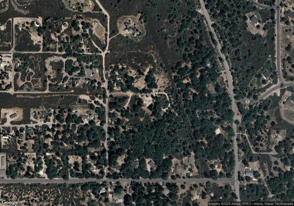
Map
Nearby Homes
- 201 Terry Lynn Ave
- 809 Caroline Ave
- 00 Kenneth Marjorie
- 704 Marjorie St
- 1371 Northridge Dr
- 0 Old Higway 99 Unit 20251211
- Financing Miningclaim Ownership
- Financing Miningclaim Ownership
- 206 E Hinckley St
- 322 E Jessie St
- parcel 3 Deetz Rd
- lot 7 Ream Ave
- Parcel 1,2,3 Pine Field St
- 0 Alma St Apn #057-203-040
- 109 N Washington Dr
- 208 Mccloud Ave
- 509 Mccloud Ave
- 619 Spring St
- 506 Eiler Rd
- 1420 Cedar View Ln
- 700 Oakway Rd
- 621 Oakway Rd
- 1312 Vista Dr
- 1334 Vista Dr
- Lot 2 Vista Dr
- Lot 3 Vista Dr
- 1227 Vista Dr
- 537 Redwood Rd
- 1315 Everitt Memorial Hwy
- 701 Ski Village Dr
- 709 Ski Village Dr
- 531 Redwood Rd
- 1339 Everitt Memorial Hwy
- 617 Ski Village Dr
- 1415 Everitt Memorial Hwy
- 523 Redwood Rd
- 739 Ski Village Dr
- 1341 Vista Dr
- 741 Ski Village Dr
- 1432 Vista Dr