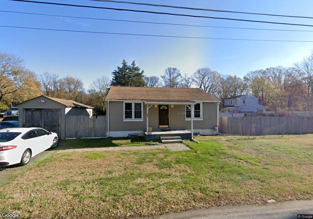
640 Roosevelt Ave Glassboro, NJ 08028
Elk Township NeighborhoodEstimated Value: $86,000 - $232,000
--
Bed
--
Bath
780
Sq Ft
$235/Sq Ft
Est. Value
About This Home
This home is located at 640 Roosevelt Ave, Glassboro, NJ 08028 and is currently estimated at $183,474, approximately $235 per square foot. 640 Roosevelt Ave is a home located in Gloucester County with nearby schools including Aura Elementary School, Delsea Regional Middle School, and Delsea Regional High School.
Ownership History
Date
Name
Owned For
Owner Type
Purchase Details
Closed on
Oct 31, 2007
Sold by
Sorden Herman
Bought by
Rosado Augustin and Rosado Zuzann
Current Estimated Value
Home Financials for this Owner
Home Financials are based on the most recent Mortgage that was taken out on this home.
Original Mortgage
$112,520
Outstanding Balance
$71,376
Interest Rate
6.43%
Mortgage Type
Purchase Money Mortgage
Estimated Equity
$112,098
Create a Home Valuation Report for This Property
The Home Valuation Report is an in-depth analysis detailing your home's value as well as a comparison with similar homes in the area
Home Values in the Area
Average Home Value in this Area
Purchase History
| Date | Buyer | Sale Price | Title Company |
|---|---|---|---|
| Rosado Augustin | $116,000 | Commonwealth Land Title Insu |
Source: Public Records
Mortgage History
| Date | Status | Borrower | Loan Amount |
|---|---|---|---|
| Open | Rosado Augustin | $112,520 |
Source: Public Records
Tax History Compared to Growth
Tax History
| Year | Tax Paid | Tax Assessment Tax Assessment Total Assessment is a certain percentage of the fair market value that is determined by local assessors to be the total taxable value of land and additions on the property. | Land | Improvement |
|---|---|---|---|---|
| 2025 | $3,286 | $91,400 | $35,100 | $56,300 |
| 2024 | $3,317 | $91,400 | $35,100 | $56,300 |
| 2023 | $3,317 | $91,400 | $35,100 | $56,300 |
| 2022 | $3,357 | $91,400 | $35,100 | $56,300 |
| 2021 | $3,397 | $91,400 | $35,100 | $56,300 |
| 2020 | $3,364 | $91,400 | $35,100 | $56,300 |
| 2019 | $3,260 | $91,400 | $35,100 | $56,300 |
| 2018 | $3,200 | $91,400 | $35,100 | $56,300 |
| 2017 | $3,111 | $91,400 | $35,100 | $56,300 |
| 2016 | $2,830 | $91,400 | $35,100 | $56,300 |
| 2015 | $2,742 | $91,400 | $35,100 | $56,300 |
| 2014 | $2,604 | $91,400 | $35,100 | $56,300 |
Source: Public Records
Map
Nearby Homes
- 254 Stanger Ave
- 1215 S Academy St
- 1504 S Academy St
- 252 Stanger Ave
- 154 Douglass St
- 1701 Filbert St
- 1447 S Mallard St
- 428 Truman Ave
- 314 Wilson Ave
- 306 Wilson Ave
- 1400 Walnut St
- 1200 Walnut St
- 122 Earl Ave
- 125 Earl Ave
- 374 Union St
- 161 165 S Delsea Dr
- 384 Union St
- 213 15 S Academy St
- 291 Union St
- 119 S Academy St
- 644 Roosevelt Ave
- 231 Stanger Ave
- 371 ROOSEVELT Roosevelt Ave
- 233 Stanger Ave
- 639 Roosevelt Ave
- 639 Roosevelt Ave Unit 1
- 510 Pine St
- 502 Harding St
- 634 Roosevelt Ave
- 228 Stanger Ave
- 232 Stanger Ave
- 239 Stanger Ave
- 647 Roosevelt Ave
- 103 Dunbar Blvd
- 225 Stanger Ave
- 224 Stanger Ave
- 221 Stanger Ave
- 504 Spruce St
- 0 Dunbar St
- L3 Spruce St